Pie Town to Grants

85 miles

5/15 22 miles to Solar Well
The Ravens and I hiked out after eating saved Pie from the night before for breakfast. Yum! We stopped at the Thomas Ranch for water and conversation at about 15 miles. What stories he has to tell, a Korean War vet, pastor, all around fine human being. It was tough finding a break to stand up and keep hiking but we had miles to go. Endless and Queen Bee tag teamed us and caught up later at the next water source and camped with us. I doubt I’ll see them again as 22 miles isn’t enough for some speedy hikers.

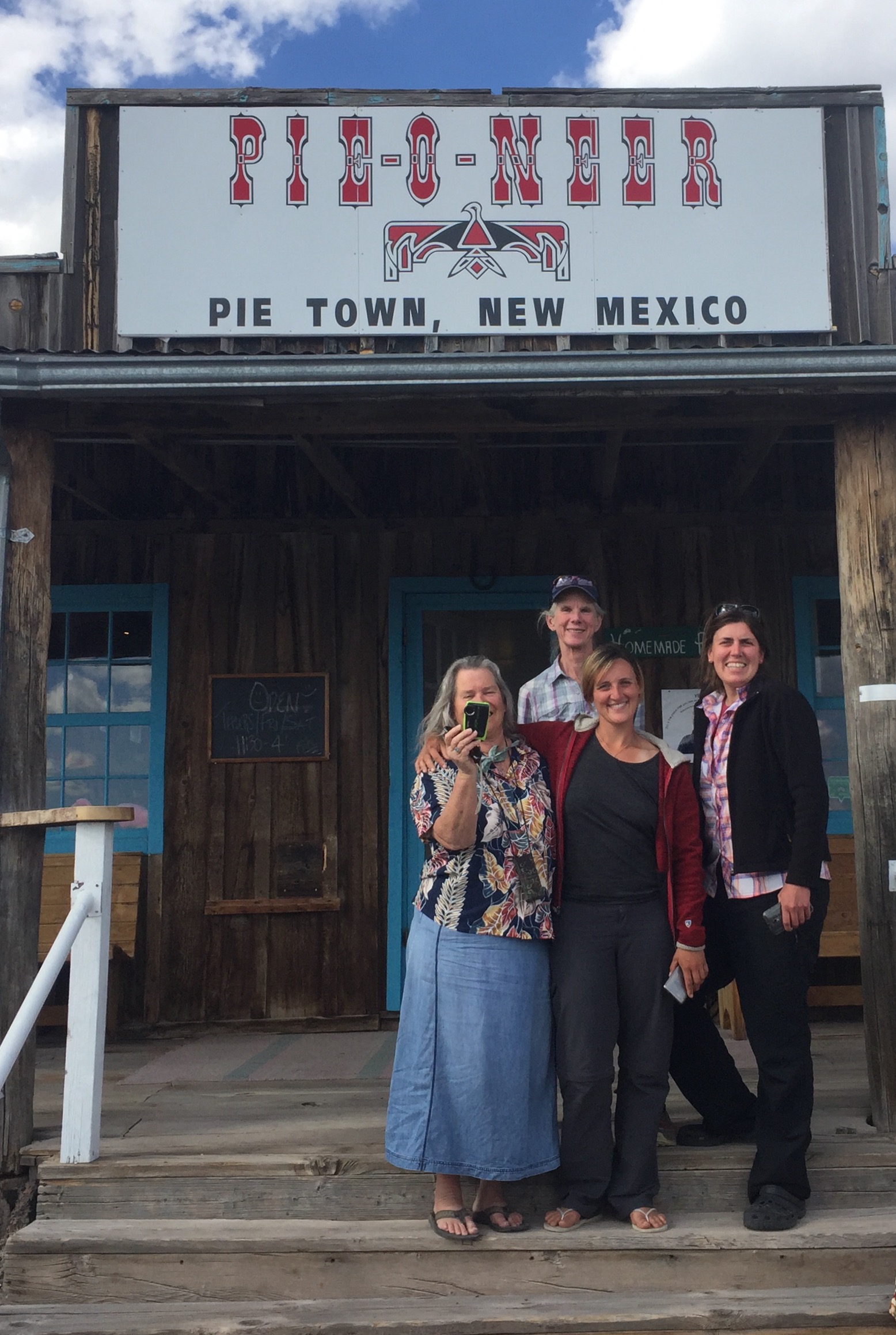
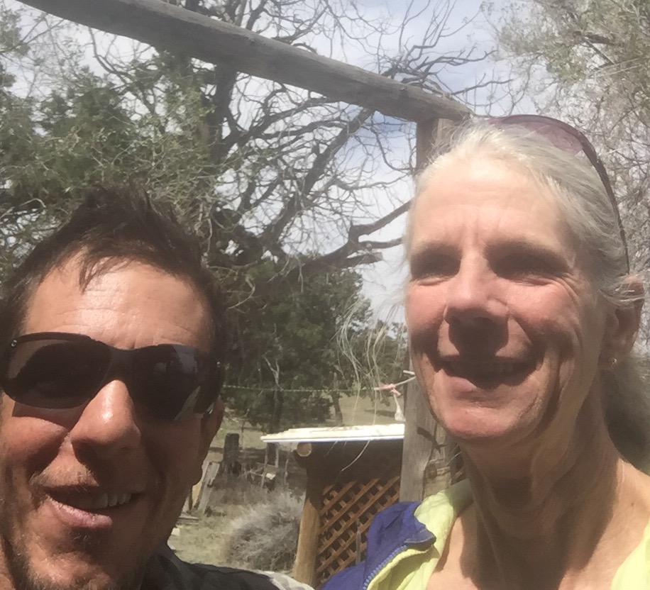
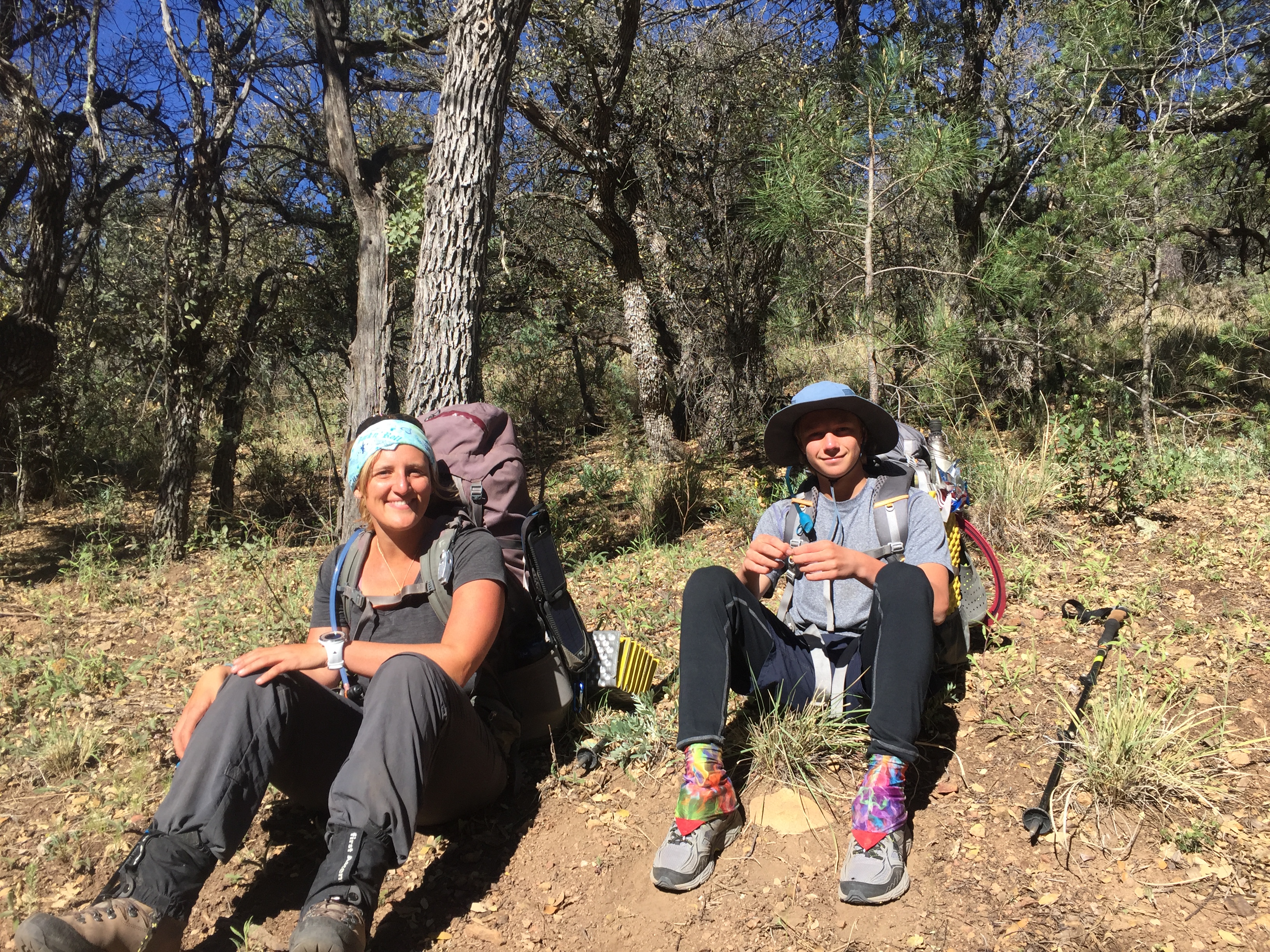
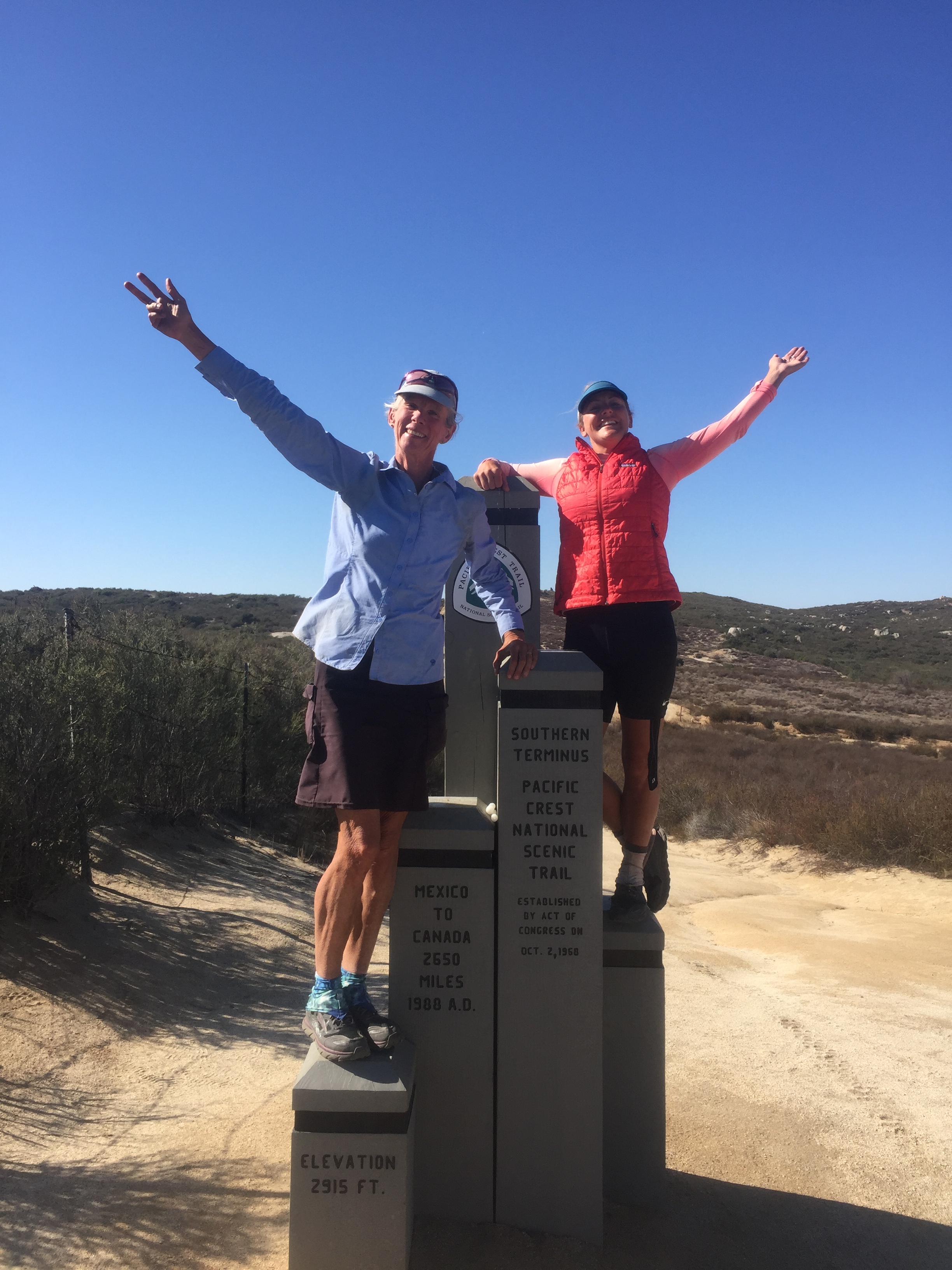
A good day, I’m glad to have blasted free of the Toaster House vortex and even gladder to be with the amiable Ravens and not solo.

5/16 22 miles on the Cebollah Alternate

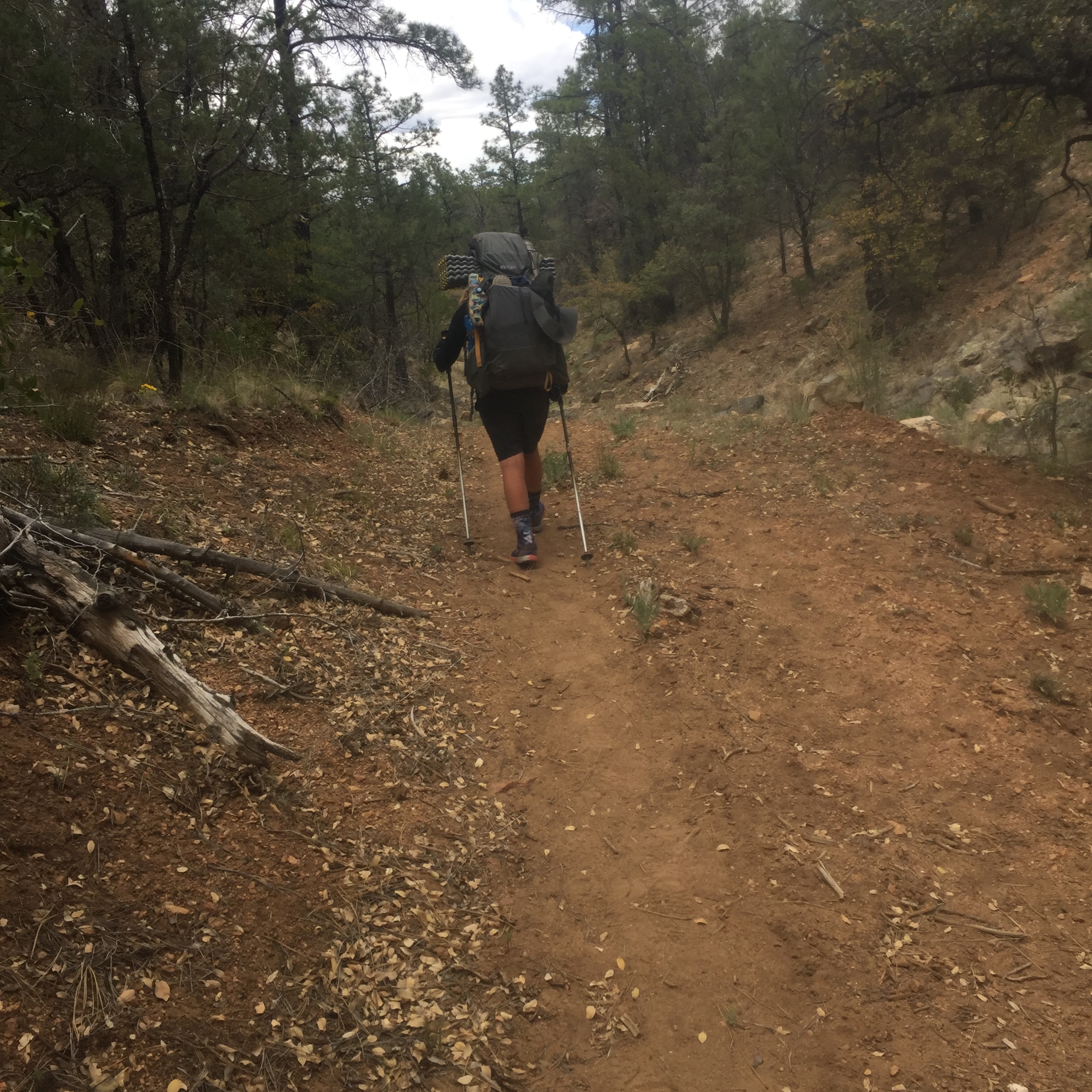
Last night the wind died down after I watched another episode of Into the Badlands.  I woke to mooing at 4 am,put in earplugs and woke at 5:57 just before the 6 am alarm. We walked on a dreary graded dirt road with increasing clouds and cold. We went uphill to rain, then down in intensifying wind chill. I hate the wind but wearing rain gear over layers helped me not get hypothermic.  Finally made it to Hwy 117, paved, and our water source till tomorrow afternoon, a solar powered cow tank filled with green water.  We walked the paved highway for several more miles, gradually getting out of the wind and warming up.  My goal was to camp in the first set of trees along the highway, hidden from both the wind and the motoring public. It worked, I’m not loving NM today but I’m so glad for the cheerful company of the Raven family.

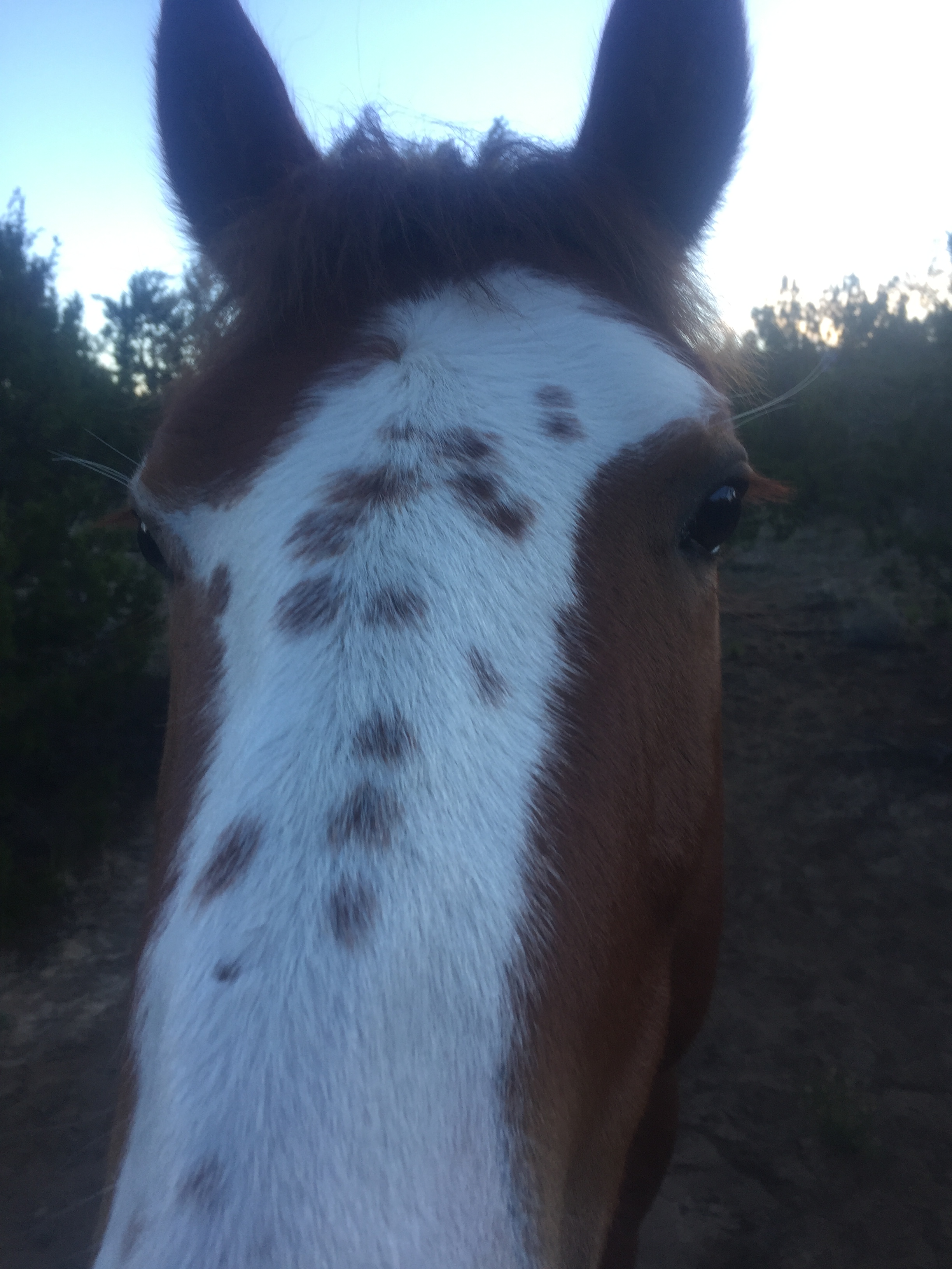
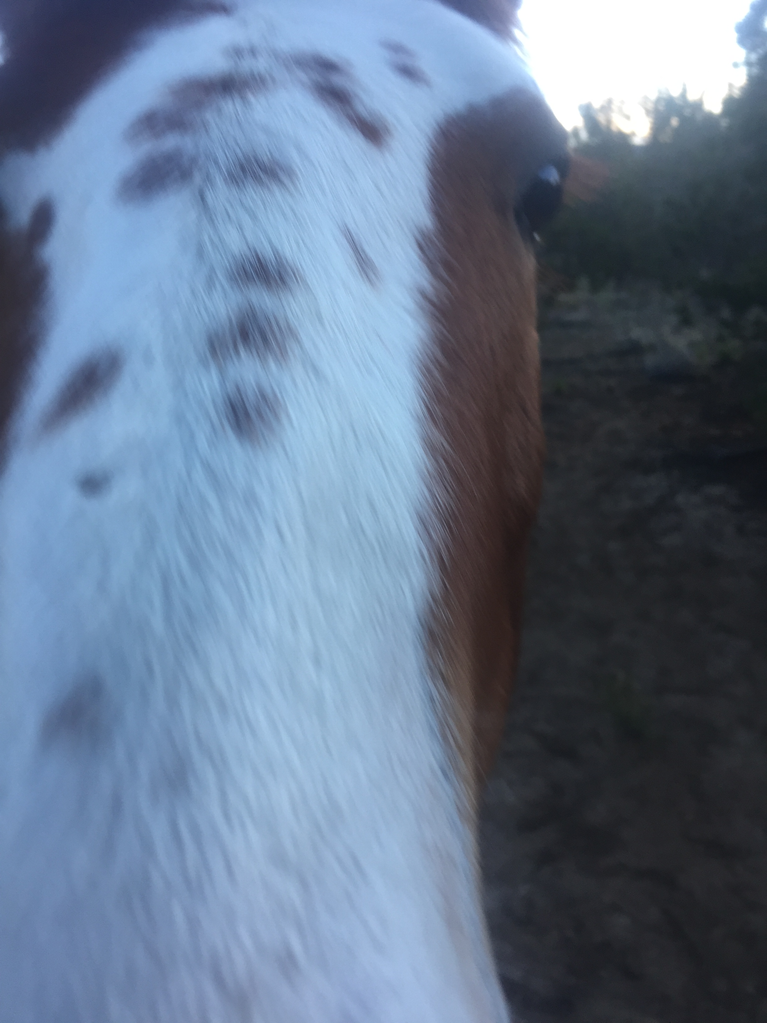
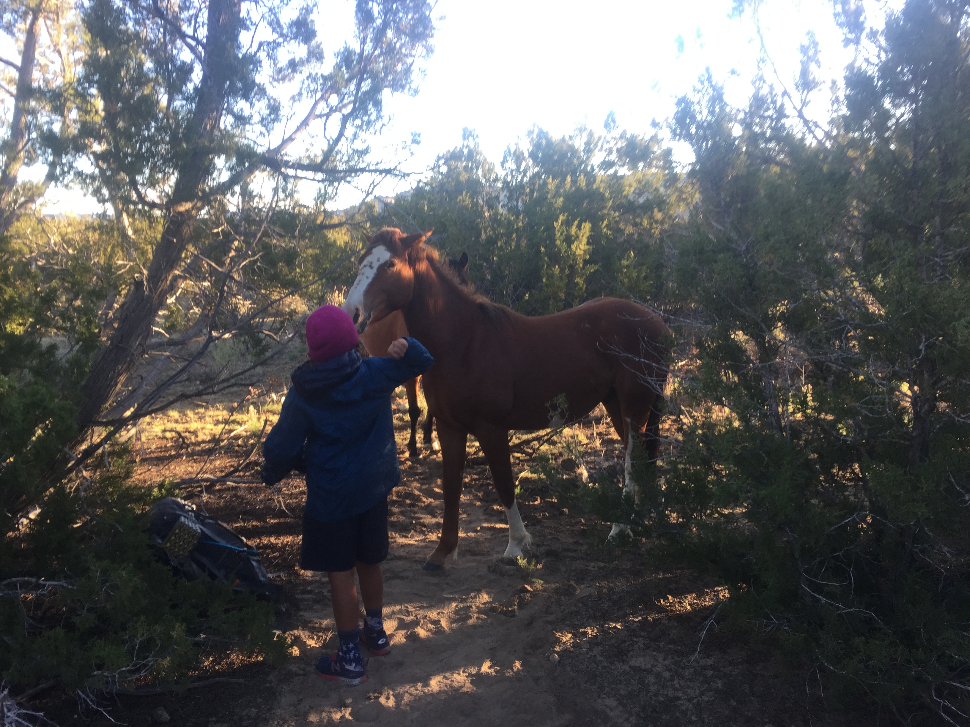
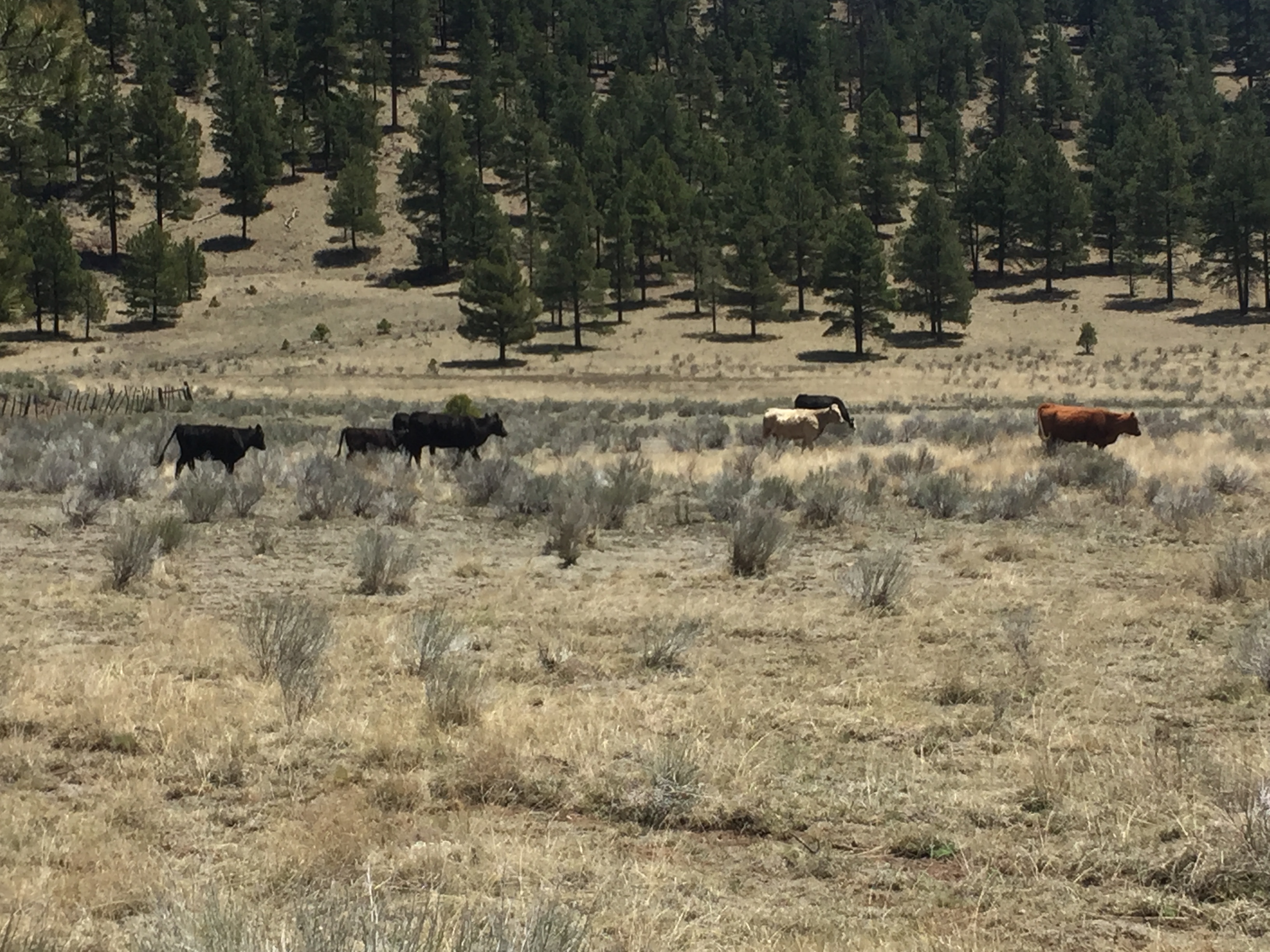
5/17 We had to decide if we would take a highly recommended alternate through lava fields then up to the Acoma-Zuni Trail, a bit longer, higher, more difficult but scenic or stick with the CDT route on the 117.  Papa talked to Grants trail angel Carrolle Mumm who told us the next day would be thunder stormy so we opted for the quicker, shorter road walk. The weather turned out to be fine, much better than yesterday and the road was flat, even and fast.  Our plan was to camp a few miles short of Grants, then have a low miles day tomorrow to have town time and a zero in a comfy motel. Camping discreetly next to a highway hemmed in by barbed wire is becoming kind of normal.  We walked the fence line and 3 horses came up to greet us. A bit further on we crawled under the fence and pitched our tents.  I did not know how friendly horses are until I was woken by a gigantic muzzle poking through my tent fly.  I shooed him off and he and his pal went to the Ravens tent.  Repeat.  Pests! One finally curled up next to the Ravens for awhile and blasted them with gas. Between the wind and the horses trying to get in our tents with us, none of the adults slept well.

Green cow tank water + Starbucks Via = ??

OK, is it sneaking up on me?

Joon and The Pest

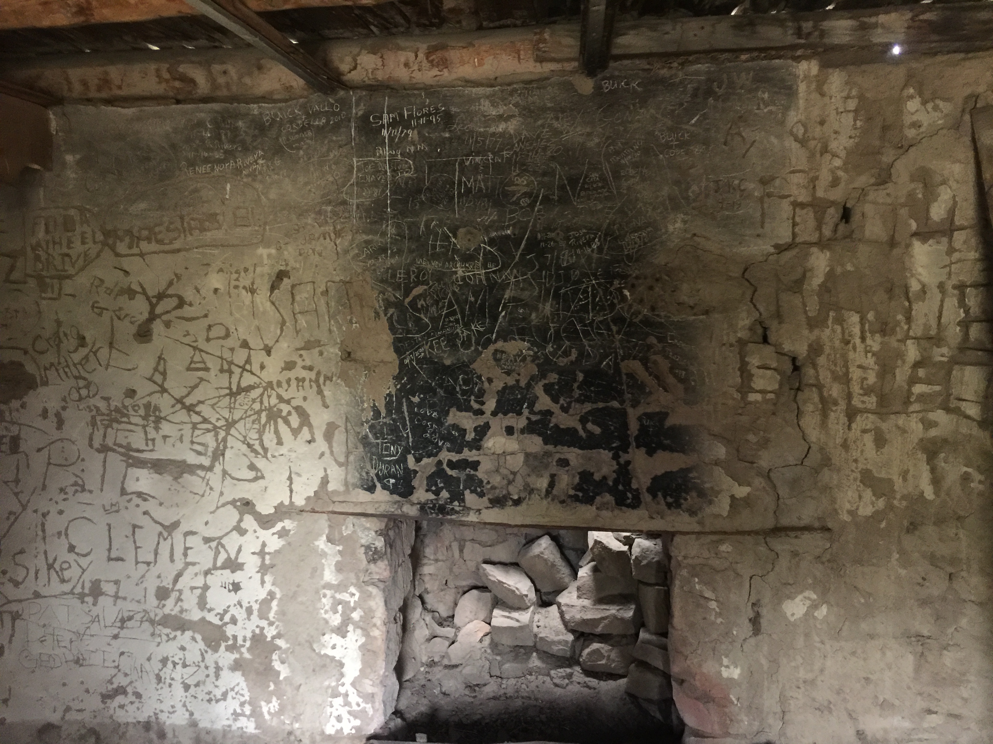
5/18 6-8 miles road walk into town.  The road has taken its toll on my back which is now stiff and aching for the first time.  Hopefully it will loosen up before I have to hit the trail again. Lunch at Subway, dinner at Denny’s and a very clean and comfortable room at Comfort Inn.  The only weird thing is that when I did my laundry in the hotel’s single washer/dryer, the next guest put my dried clothes on the folding table, that’s fine, but it was minus 2, count-em 2, pairs of Injinji toe socks.  Why?  Creepy foot pervert?  Good thing I was wearing pair 3 and 2 new pairs will be in the box I’ll pick up at the PO.

5/19 Zero in Grants. For $.50 a shuttle bus will take you anywhere. Papa Raven arranged a bus for 9:15 to the post office 3 miles away and another bus 9:30 to take us back to the motel. Meanwhile I got all my resupply food for the next 106 miles to Cuba at Walmart, including freshly baked cinnamon pound cake for breakfast, Spam Classic singles with bagel thins for lunch and a new connector thingy for my earbuds so nobody else has to listen to my podcasts and audiobooks as I hike. I got my package: new Hyperlite Mountain Gear pack to replace the one I’ve worn out after 3000 miles, new socks, new Purple Rain hiking skirt in a size down since I’m already skinnier, and a bonus giant Snickers bar Dan threw in the box. I’ll be unrecognizable in all this new stuff!

For way better photos and another perspective check out the Ravens blog at http://www.theRavens15.wordpress.com

Reunion: Reserve to Pie Town


5/10 Woke to pouring rain and snow on the mountains.  Good timing to be in Reserve!  Caught up on civilized stuff like reloading my iBooks app and books, bill paying, eating at the excellent cafes and buying a few snacks.  Here everybody knows each other, “How are you?” they say to each other. “Good!  How are you?” exactly like my sadly now former coworker Cody Carpenter says at home in Alaska.

I talked with a wildlife officer who had been stationed in the Army and later was a USFS smokejumper in Fairbanks.  After serving in Iraq, he wanted nothing to do with cities and loves his job in NM.  New Mexico is wilderness as I’ve discovered, with big cats (Puma, Jaguar, Mountain Lion, I’ve heard all these names), bear, coyote, Mexican Wolves, snakes, javelinas, elk, deer, turkey and so on.  His job is to determine if a dead cow was killed by a reintroduced Mexican Wolf (the Feds will reimburse the rancher for the loss) or by a regular run-of-the-mill predator.

5/11 I can’t believe how great people are–my plan worked.  Breakfast at Adobe Cafe at 7 when they opened, pack on the porch.  I walked to the edge of town, sat on the guardrail, and the first truck picked me up.  I was walking by 8:30!  A beautiful day through pleasant country with 1 2-hour climb, muddy brown cow water, 1 jacked-up pickup and 1 Private Property with 2 insanely barking dogs.  I camped hidden from the road in scrub trees and desiccated cow pies.

5/12. Since I did 22 yesterday, it was just 18 to Toaster House in Pie Town which I reached early afternoon.  Hikers!  Dassie and Burning Calves from Day 1 greeted me and showed me to a bunk in their room. Then I was whisked away by owner Nita for a tour of Pie Town, a rather old, and odd, spot on the map.  After taking us to the house she lives in and getting to play with her orange cat Muenster, I found myself driving her car with Bow Leg to Quemado 20 miles away for beer.  Back at Toaster House with 12 or 14 hikers in this old, semi-decrepit, bizarre, cluttered, by-donation “hostel” for hikers and bikers that has about 8 beds and several couches plus porch and tenting space along with a single bathroom.  Lots of great company!  Most people spend at least 2 nights here.


Very Large Array at Pie Town
Muenster cat


Nita, Catwater, Dassie and Burning Calves

The Ravens in front of Toaster House
Bow Leg and Catwater selfies

Bling and Joon in Toaster House kitchen
Inbar and Midnight

5/13 The Ravens are coming in today I hear!  I went to Saturday post office hours (7:30-9:30 am, how weird is that?) and picked up their boxes so they wouldn’t have to wait till Monday. I busied myself cleaning house, washing clothes and towels, chatting with Midnight, Dassie, Burning Calves, Navi, Bow Leg, Navi, Dave, Lux, Anna and John and more.  And the Ravens arrived with smiles and stories.  I moved to a bunk upstairs.  Mama’s feet are doing better but they will zero tomorrow.  I should get out of this vortex and hike out, but I’m enjoying all the hikers, the pie, the rest and the Ravens, so…..

5/14 Mother’s Day.  I bought Pie to go yesterday for breakfast today.  More hikers walked in as others walked out: Endless and Wueen Bee, Silver, Quicksilver, Radar and Peru, Inbar from Israel, Buddy Backpackers Dad.  I changed to my own tiny room and slept great.

Gila Cliff Dwellings to Highway 12, 90 miles

5/5 After a lovely night’s sleep, I slept in and hit the road at 7:30. Worried about making miles when I returned to the river, I walked right past the turnoff to the Gila Cliff Dwellings site, a round trip of about 4 miles. Then I walked past the Gila Cliff Dwellings National Monument visitor center and got on the trail. I stopped dead in my tracks, tucked my pack under a tree and turned around. I went back to the visitor center, paid my fee, went back to the turnoff and walked the road to the ruins, not the road to ruin.


These dwellings were inhabited for just a generation by Mogollon people, Pueblan culture, and have a lot of the original structure including wooden support posts that provided dendochronology (tree ring dating) but here, as normal, the archaeological sites in New Mexico have been heavily plundered, “pot hunted,” in the last 150 years.  In fact, I have inherited 2 perfect pots from Mesa Verde that my great or great great grandfather Clayton Theodore Sallee, took. I also have an ornate marriage certificate with his name and my great great grandmother’s name with Arizona Territory crossed out and New Mexico Territory penned in above. I don’t know much more about my mom’s Sallee ancestors, she was born near Coulee Dam where her dad was on a WPA project in the Depression and she graduated from high school in Oregon.

How people have wandered the West for thousands of years.  Who were they really?  What were their lives like?  Why just a generation in this location?  What is the true story of my ancestors?  Did I inherit the wanderlust?  I’m glad I turned back to visit this site, it gave me a lot to think about when I got back on the river route a couple of hours later.

From 11am to when I camped I crossed the Middle Fork of the Gila River 57 times for a total of 14 trail miles ( which doesn’t include the diversion to the Cliff dwellings).  Hard to make miles in sand, cobbles and water.  But I couldn’t be happier with the route or my day.  Frogs, tadpoles, fish, fry, lizards, snakes, squirrels with big ears, and 2 day hikers with a pit bull too tired to even wag her tail.

5/6 So slow, so many crossings, so little tread.  I followed footprints until the thunder showers between 1:30 and 5:45 wiped them out.  I finally pitched my tent and rested my aching back.  I miss the Ravens so bad and wonder where they are and how Mama’s feet are and how they’re managing the river.


5/7 It was cold this morning. I went from the canyon (fell in the water once, getting my daily quota) to ugly Snow Lake which was enlivened by legitimate trash cans at the USFS campground. Hikers love to get rid of trash! Met my second pair of nice FS guys in a truck.  In both cases, an older, largish white guy is driving with a younger, fitter brown guy riding shot gun. One was a Kachina Hot Shot!  There are fires in the area but they tell me the CDT is open and safe. Continuing on from the lake on dirt road to trail and the last water was a weird pond with solar panels.  Then a climb onto a road and I saw the “German couple” in the distance that the FS guys told me was ahead.  I walked for a long time across a treeless, windy plain before dropping down to trees and the nicely maintained Bursum Road where I said “Hey” to the German couple resting in the shade.  The road continued up, up, up over the Divide and I found a tent site in the trees.

I made lots of miles today but I didn’t plan for the eventual water carry as I left the river and the weird pond. Fortunately I’m paranoid since the Catwater incident in 2015 and always carry more water than I need. I have enough till tomorrow and the next on-trail spring in 14 miles.

My life is ruined, stupid iPhone somehow deleted the iBooks app.  The last thing I did last night was read “Digital Dick,” by my Yosemite friend John Mullen.  When’s Book 2 of the series coming out, John?  I love the concept, character and story, and it’s so well crafted!  The way these phone mishaps go, that app would pop up with an inadvertent elbow in the tent and self destruct.  I need wifi to restore it and that’s days and days away.  I haven’t not read a book every night since I learned to read. I am reduced to reading the labels on my food and reviewing my own stupid journal entries.

5/8 Not my favorite day. Woke to cold and cloud cover and continued the easy tread FS road at 2% grade. Passed Treehugger, Blisterfree and dog Sage as they were packing up. I miss the Ravens, Dassie, Dan, Jackie, Poppy, Recon, Puff Puff, Milkshake and Sticky Buns, Mr Smith, Velcro and Sparrow.  I really mourn Sparrow, every day.

Finally finishing the alt and getting on the CDT, I came to a lookout and saw the 2 fires.  It made me nervous, they were so close, should I retreat?  I left a long note in a USFS fire rig that was parked, unlocked, with the keys inside, with instructions to call Dan so he could satellite text me if I’m in danger.  After all, it’s not like a bureaucrat has never made a bad fire behavior call!  I hiked on, picked up some murky pond water and camped in smoke.

It was a nice warm campsite.  I woke at midnight to the sound of a bunch of coyotes yipping like sled dog puppies.  Then further off, a long awoo, a single wolf howling, singing, and the coyotes shut up.  I know Mexican wolves have been reintroduced to the area, and I’ve seen plenty of food for everybody–cow calves, deer, elk–so I guess that’s why I wasn’t scared, and it was such a beautiful, wild song.

5/9 Between the iBooks issue, the fires, the hail and increasing wind, cold and weather, and the uncertainty of whether my resupply box was actually being held at Toaster House in Pietown (ah, hiker rumors made me call to confirm from Silver City but I hadn’t heard back before losing cell coverage for the last week), I’d decided to give 3 hours to an attempt to hitch the 30 miles from NM 12 to Reserve, an unplanned stop and a notoriously hard hitch.  If I couldn’t get a ride, I’d camp and continue the 2 days to Pietown.  I got a ride part way from the first car going my way, after just an hour huddled in all my layers and rain gear.  Then a second ride from a law enforcement officer acting as a Good Samaritan to a hiker in distress.  Turns out a week ago, a colleague died of hypothermia out here and the officer had that in his mind.  Oh, the kindness of the people of New Mexico!  They’re not crazy outgoing, they’re calm and helpful.

I love hitching

And so I’m in Reserve on another unplanned zero waiting for the severe weather to pass.  Seriously, rain here, snow where I would be hiking, tornadoes around the state, wow.  And I’ve restored my books, done my laundry, caught up the blog, eaten really great beef, watched The Voice, Better Call Saul and Into the Badlands, and found out the Ravens took 2 more days in Silver City.  They’re probably close to me! I’ll know when they get cell service!

Solo out of Silver City


5/1 The Ravens and I took a zero in Silver City. Mama’s feet are a mess and she needed to see a doctor to get some antibiotics for an infected blister, and she needed to find some better shoes for both the blisters and to help with the plantar fasciitis. The early miles are murder on most hikers’ feet. Heat, sand, a little wrinkle in the sock, lacing your shoes too tight or too loose. We’ve all been there. Last year’s PCT, my left foot ached badly the whole way, I had to get antibiotics for an infected toe, and I lost more than half of my toenails. Why do we do this again?

I spent my zero day buying a new shirt, sunscreen, gallon ziplocks, food and beer. While Mama and Papa were at the clinic, I took Bling and Joon across the highway for a tasty McDonald’s lunch. They knew their orders by heart but I haven’t eaten in a McD’s in years and had to study the menu. It was good!

I went to the Visitor Center to get the CDT bandana that Teresa who drove our shuttle to the start said they’d have, but no, they had no information about bandanas. All 4 Ravens and I had dinner at the Wrangler. As we knew, Mama needs at least one more zero day to let the meds work and the blisters to dry up. I’ll hike out on my own.

5/2 Stalled out saying goodbye and leaving the Ravens, I will miss them, what am I doing? I took the Little Walnut to Gila River alternates to my next resupply at Doc Campbell’s Post which is more direct than the “official” CDT. It was a pleasant road walk uphill from the busy highway to a two-lane filled with morning commuters, and ordinary houses giving way to castle-like homes then cattle ranches and finally USFS Wilderness dirt roads. At the “Monastery” turn- off, traffic stopped. Walking from graded dirt road to trail and then to ancient horse-drawn wagon-sized roads, the country changed. I picked up water enough to dry camp and trudged straight up an overgrown drainage excuse for a trail to a lovely forest, flat, Pine needled, perfect tent site.

5/3 Might have, should have, taken the longer CDT instead of the Gila River alt. But I am committed for 70 more miles. Today started with about 10 miles of trail to road to endless trail down to the river. The river is what you follow or walk in with just a rudimentary and sporadic trail on dirt cutting the curves of the river to straighten out the route a bit. Not particularly dangerous, just SLOW. I was hoping to make 20 miles today to leave 8 for tomorrow to Doc’s but, oh well, I’m camped now with 10 to go. My feet are still fine, even with all the water and sand and gravel in my shoes. I really hope Mama Raven takes more days off, this stretch will be tough for hikers with sore feet. The river walk is, however, utterly beautiful, red cliffs rising from the canyon, some eroded into stacked rock shapes, some with caves. It’s hot again down here until the sun drops behind the canyon walls at around 7pm. I’ve seen all kinds of creatures and tracks: the slithery trails of lizards, bold black beetles, tadpoles and frogs plopping in pools, snakes, Ravens, robins and little birdies with yellow caps, deer, and I think elk.

5/4 Whew!  Short day but I’m staying in a room at Doc Campbell’s.  Bought an extra day’s worth of food since the miles are so slow.  Polite and professional, a young boy (Kaden?) was running the calculator and cash register at the store.  I sat out back and met 3 hikers and a hiking dog.  Treehugger said, “You know the saying, ‘Hike Your Own Hike?’ Well I’m hiking the dog’s hike!”  She said when the dog heard a fox yip, he crawled into her sleeping bag.  She and Blisterfree had an enormous resupply box that included canned dog food for a special calorie boost for the dog.  Blisterfree, whose name I recognized, originated the Lowest to Highest (LTH) route from Death Valley to the top of Mt Whitney and The Enchantments.  Hiker celebrity!  Of course he was sitting there poring over his maps.

I cooked up a Backpackers Pantry for dinner, hung some hand washing in the bathroom, turned on the overhead fan, finished reading Levison Wood’s “Hiking the Himalayas” and went to sleep indoors on my Thermarest on top of the lumpy bed.  This is the life.

Lordsburg to Silver City 77 miles

Dassie
Trail marker
Even better trail markers
Dassie and Bling waiting
Thanks for the coffee! —– and Wilderness


Dassie and I split a room in Lordsburg for 2 nights, with the Ravens in the same hotel. It took me a full 24 hours to recover from heat exhaustion, which I guess I’ve never had, just know the symptoms from first aid. My heart was fluttering all night attempting to pump overly thick blood, I felt like I was getting a head cold–sore throat, dizzy–and I drank gallons of fluid. I went about the chores of buying resupply food and lunch and snacks for the day. Suddenly at 4 pm, I was ravenous and looking forward to hiking the next day. Dassie and I went to buy pre-dinner IPA since the restaurant here doesn’t serve alcohol. That made me realize that I should have prioritized a refreshing and revitalizing brew the day before after walking into town.

4/27 our group of 6 headed out the road north of Lordsburg in wind but less heat. No more Continental Divide Trail Coalition (CDTC) provided water caches, our goal was a solar powered wind mile about 18 miles in. We gained 2000′ elevation in 5 miles, went by old mining works and caught up to Kat from Taiwan and a couple of other hikers at the windmill. There was plenty of time left in the day so we continued on another 3 miles to dry camp in trees and thorn bushes. It’s been a dramatic improvement in scenery and temperatures. Trees for shade, what a concept! This area reminds me of the PCT stretch between Lake Hughes and Hiker Town on the edge of the Mojave Desert.

4/28 We continued on a mixture of dirt road double track and single track trail with trees for shade. Because of water we walked off trail a mile or so to the Burro Mountain RV Park which gives hikers free camping, hot showers and electricity. It wasn’t super restful though when the wind started howling and our tents lit up with lightening and a dashing rain. However, it was the first night I actually got in my sleeping bag! In the morning we packed water to make it to the next guaranteed source just over 20 miles away.

4/29 We’ve got a bit of a trail routine going. It will change, but right now 15-year old Bling with his endless energy and effortless positive attitude has the fastest pace. Dassie is feeling great and walks behind him. I generally tuck in next with Mama’s sore feet slowing her down with Papa walking drag. Joon is a little slow to wake up but a little into the day she’s right behind Bling. Super experienced, Bling will stop and wait for the group at confusing intersections or just randomly when he knows he’s way ahead.

At one of these stops I kept going ahead and was rewarded with seeing some kind of cat tracks, a large animal and a baby sized. “Puma” is what the guy at the RV park talked about, same guy that told us the bathhouse was “yonder.” He said 2 women hikers had a Puma mama and two kits walking the trail between them, and that a big cat took down a deer nearby a few days earlier. Anyway I’m walking along with these fresh cat tracks peering around thinking they were lurking in high places like my house cats do, just waiting to rush me. I found a nice clear high spot and waited for the group to catch up. I got behind Bling and Dassie, letting their footprints cover up the cats’ and forgot about them.

We continued on, lovely country, as it got cooler and cloudier and I felt rain was imminent. I wanted to drop down off the ridge before that happened and got out front again. I turned into and then off of a dirt road into a long sandy canyon fenced and gated to restore the area. I heard a truck and saw a woman, man and two barking pit bulls with tow straps and a come-along unsticking their Tacoma from the middle of the trail. “They won’t bite!” she yelled. “I’ve got 5 behind me, I’ll wait” I yelled back. And then it started to snain (snow and rain) so I dug out my rain gear. The truck got unstuck and the woman ran back to me and asked if we would be OK in the snow. So sweet! I said we are going to camp just a mile down the wash and she waved goodbye. The others joined me a few minutes later, the snain stopped and we continued to a lovely soft campsite out of the wind and called it a day.  We passed numerous tire tracks practically on top of the signs saying, “No Motorized Vehicles.”

4/30 We got up and walked 5 miles through sand, then double track past many healthy cow-calf herds to the paved highway which we’d need to walk 13-14 miles to town. Dassie has a deadline to go back to work and wants to see as much as she can, so she opted to hitch to town, buy her resupply, overnight, and hike out with the pack from CDT Trail Days. The Ravens and I will zero. I don’t need to rush since I’ll be taking a break to return home for a visit and the Ravens have to wait for the post office Monday and to give Mama’s feet time to heal. Half a mile into the road walk, a truck stopped on an approach on the far side of the road. A guy asked if I needed water for the road walk. I said sure and walked over to meet them. Turns out they are Jerry Brown of Bear Creek Survey whose maps I’m using and Luddite who maintains the trail in this area. Cool! Then I found $0.26, a flat raccoon, a flat coyote, a syringe, a pair of hemostats, and thousands of beer bottles and cans. Trudging along, a car suddenly screeched to a halt, 2 people hopped out and gave me a bottle of iced coffee–former CDT hikers returning home from Trail Days!

CDT Crazy Cook to Lordsburg 85 miles

Bling, Joon, Papa Raven, Mama Raven, Catwater
Bling on point
Another one bites the dust
A little bit of beauty


4/21 The Ravens and I took photos at the Southern Terminus and started to our first camp at the first water cache at MP 14.5. Beginnings can be hard and the heat and pack weight will take some time. I always lose my appetite for the first week or so and coming from winter temperatures to shadeless summer slays me. But as the other hikers (9 of 10) who shuttled out the same day rolled into camp and we all settled into tents, I was happy to be back hiking.

4/22 was about making the water cache at Mile 27 which we did, choosing to push on carrying 5 liters another 3 miles to a lovely sandy wash sprinkled with dried cow pies and thorny bushes. The Ravens and I were joined by Johnny from Germany who felt as nauseous and overheated as I was. Neither of us could finish our dinners. As he was blowing up his mattress, I heard Mama Raven exclaim she heard a rattlesnake. When we figured out it was Johnny, I yelled “trail name, Rattlesnake!”

There is very little trail so far, it’s pick your own cow path CDT post-to-post, or walk a dirt road. Lovely though, horned toads, huge black tail rabbits with gigantic ears, cows, doves, ravens, deer scat. Very, very hot.

4/23, day 3, I fell down, went a ways down the wrong road and threw up my dinner. Excellent day. Laying in my tent on soft sand waiting for the sun to go down never felt so good.

4/24 was again about finding water caches, shade and trying to eat enough to stay alive. It got really windy so target mileage went out the window as we pushed on to find some kind of wind break for the tents. The Ravens, Dassie from South Africa and I found a remarkably comfy but tight area and slept soundly tucked below a slight levee and thorn bushes that look like the Kiawe bush s on the Big Island of Hawaii.

Day 5, 4/25, we made it back to Lordsburg a day ahead of schedule. What a day. 11 miles of gentle uphill into a howling headwind and another 6 or so on a rather busy but well graded dirt road into town. Dozens of Border Patrol vehicles and an old red truck that swerved toward me for no reason. I looked behind and he did the same thing to Bling who froze in place until the truck went by. It was a brutal day, I felt annilated and could only eat half of my bacon cheeseburger in town. I’m taking a zero. Turns out we were in a sandstorm so ferocious they shut down the I-10.

Heading South

IMG_1611
Tarcey and me, taking a break on the Alyeska tram deck on my last day snowboarding for the season
IMG_1612
Slide Rule
IMG_1614
Tarcey and Rick at my farewell dinner

April 18, 2017

After two wonderful weeks at USASA Snowboarding and Freeskiing Nationals in Copper Mountain, Colorado, I flew home to Alaska for a few days to complete my prep for the CDT and to enjoy spring snowboarding at Alyeska. Although this winter has had better snow conditions than the last three, we pay our dues—ice, cold, wind, exposed rocks—and the spring sun and soft snow is our reward. So fun!

A long day of air travel, the usual uneventful and uncomfortable experience, Anchorage to Seattle to Phoenix to El Paso brought me to a motel for the night. Next a cab ride to Amtrak and the train to Lordsburg, NM, followed by a mile walk to another motel. Tomorrow, tomorrow, tomorrow! Shuttle to Crazy Cook and the hike begins! The Raven family will be on my shuttle.

I am going to try to take more photos this hike, particularly more photos of people which is outside my comfort zone so bear with me as I try to figure it out.

Next Up: The CDT

Well my feet stopped hurting, almost anyway.  All of my toenails have grown back except for the one I lost somewhere on the JMT in October.   The plantar fasciitis that has plagued me for 18 months, including every single day on the SOBO is kaput.  So I’m back to running, in the freaking snow and cold of Anchorage.  But hey I got third in my age group in the Frostbite Footrace 5K during Fur Rondy which I never do, and snowboarding has been awesome since Alaska finally has snow after three winters of drought.

Since finishing the PCT SOBO November 25, I’ve thought a lot about the differences between hiking north and hiking south from border to border in the Lower 48 (continental US).  And I’ve come to some useful conclusions for the next long hike.

Living in the North, my entire adult life in Alaska, you mark special times of the year–Summer Solstice, Fall Equinox, Winter Solstice, Breakup, and Freezeup. The longest day of the year June 21 or 22, Summer Solstice, is accompanied by manic celebrations all over–people hike all night or throw parties, have soccer tournaments or drink Midnight Sun Brewing Company beer. A celebration certainly but also a wake–a celebration of a life passed, because Summer Solstice is the beginning of the dying of the light and the all too quick slide to winter, cold, aurora borealis and dark. Up here, Summer Solstice weather wise isn’t even the warmest weather, there’s still snowfields, gardens are barely greening up and the first hatch of mosquitoes are rapidly being replaced by gazillions of their quicker, itchier progeny. And it’s starting to get dark again.

The Continental Divide Trail Coalition (CDTC) offers a shuttle service from Lordsburg, NM to the Crazy Cook start on the border with Mexico.  I want to start the CDT in the last half of April or early May in order to beat some of the desert heat, but looking at weather maps, New Mexico is having an early spring, while snow in southern Colorado is at record highs.  Hopefully, the early spring will sweep massive heat north and melt some of the snowpack before I get there.  I’m glad I’m not hiking the PCT north this year as the Sierra snowpack is super high (some ski resorts are planning on continuing operations to July 4) which means there will be a lot more snow slogging in the High Sierra this year than 2016 which was way more than I had on the PCT NOBO 2015.  The thing about the Sierra though is that you mostly go up over passes and then down to lower elevations.  I never had to pitch my tent on snow even if I spent all day hiking through it. In 2015 the only pass socked in on both sides was Muir, but since I’d hiked that route three previous times, my memory combined with my maps and I navigated through snow without major incidents–I broke through a minor ice bridge and got my feet wet but only postholed up to my knees and I was able to camp on dry ground at the end of the day.  The most treacherous pass was Glen because of its pitch, but I knew where the trail was supposed to go and there were plenty of tracks ahead of me.

The CDT apparently climbs high and stays on the Divide so once you’re in the snow, you stay in the snow–other than when you hitch down a highway to pick up more food and stay in a motel.  That’s the impression I get anyway and that’s what I need to be prepared for.  Reading hiker stories from past years (and there’s not a lot of them), this is normal if you’re going NOBO:  walk through the desert for hundreds of miles, hot during the day, freezing at night, then climb into snowfields and continue hiking for hundreds of miles more.  Snowshoes, an ice ax and proper avalanche training and practice are nearly universal recommendations.  The other option for the CDT is, of course, to hike south from Canada.  I have experience with this on the PCT as well since I hiked SOBO in 2016.  Hikers going south on either the PCT or the CDT generally pick a later start date to give the snow a chance to melt up north, then run like hell to get through the High Sierra (PCT) or Colorado (CDT) before it starts snowing the Fall.  A later date means June or July.

My CDT hiking strategy is based on my experiences hiking the PCT NOBO in 2015 and SOBO in 2016.  I liked both hikes, but I tell people that if they’ve never done the PCT before, I think hiking north is the better choice.

To me, it comes down to this:  daylight hours.  If you’re going to be hiking for 4 or 5 months, and you’re relatively slow, or would rather hike without a headlamp, starting in the spring means you’ve got 2 months of gradually increasing daylight hours till Summer Solstice, then 2 months of gradually dwindling daylight hours through the rest of the summer months.  It doesn’t mean you won’t be cold or get snowed on or won’t have to walk through snow, it just means that you’ll have more daylight hours to get it done.

Hiking in snow or snowfields, no matter the daylight hours is just slower.  SOBO hikers on the PCT and CDT generally begin at the border with Canada in the later part of June or early July.  NOBO hikers generally begin at the border with Mexico in April or early May.  Another option on the CDT where there is less peer pressure to do a “true thru” is to flip around–hike as far as you want in one direction then catch a ride to a different location, hike that stretch and so forth, eventually completing the entire trail, linking footsteps, rather than walking continuous footsteps.  I might do this.  I get to do whatever I feel like doing, so there.

I really loved hiking with other people on the NOBO, I met and got to know so many interesting, wonderful, kind folks.  On the other hand, I loved the relative solitude of going SOBO.  My hiking partner for 1600 miles, Puff Puff, and I would go days without seeing other people all the way through California and were (mostly) stoked that we had each other’s company for a part of each day and could camp together and hang out in towns together.  The Sierra in October was nothing like the Sierra in June–we could truly be in the wilderness without the hordes (human and mosquito) of summer.  We had to discipline ourselves to get up and go at first light and often camped just as the light was going.  In the last month of the SOBO we had about 11 hours of daylight.  The final 700 miles of So Cal desert were cool, rarely cold, but increasingly dark, by the very end, we were in our tents by 5 pm, full on dark.

I don’t know how the CDT hike will go, but I’m going.  I’ll begin hiking at Crazy Cook on April 21.  I will probably take a week or two off the trail the beginning of June to let the snow melt in Colorado and to go home to Alaska to get bit by mosquitoes and because my youngest is bring his beloved for her first visit to Alaska and they want to do some hiking in my home mountains.  One way or another I want to be in Wyoming August 21 wearing special solar eclipse glasses.

I’ll blog the CDT hike and will try to do a better job of it than I did in 2016.  I seem to do more writing when I have fewer people to talk to, and when a trail is all new to me.


Home Stretch

Tarantula sunbathing next to the trail

I got an email from Papa Raven with a link to the weather warning, high winds, gusts to 70 mph. During the night I woke up to the sound of rain on the metal roof, it was still pouring at breakfast.  I called another hotel to see if they had a room.  We talked it over and decided to delay a day rather than start the final leg wet and cold and miserable.  I emailed Papa Raven back the revised plan. We moved to the new hotel and went out for lunch.  I got a phone call from the front desk telling me I had visitors–Mama and Papa Raven! A perfect way to spend a dreary afternoon in the rain, visiting with friends.  One of the coolest things was learning that the day the family met us on trail near Whitewater Preserve was as uplifting for Mama Raven as it was for us, she went home happy.  The trail family is real, you truly bond and make lifelong friends.

I arranged a shuttle to take us back to Scissors Crossing at 6:30 am. We needed to carry water for a 24 mile waterless stretch. This final 77 miles is filled with memories of the beginning 77 miles I hiked in 2015. I think because it was so new and exciting, hot and painful, I remember more details on this stretch than many others. I was learning about sketchy water sources, how much water I actually needed to have, trying to find tent sites that weren’t overrun with other hikers, meeting and leap frogging with people who I didn’t know if I’d see again, discovering the desert econiches that change with elevation and geology, and transitioning into now long familiar trail life.

And so we camped in a boulder field rocked by wind, then a soft footed campsite under oak trees blasted by wind and sand, and the last night a nice area high on the Crest just 11 miles from the border, the wall, the monument, the finish.

I am exhausted and my feet are painful from the first mile of the day through the last despite liberal doses of ibuprofen. I have been ready to be done for quite some time, determined to finish since the watershed moment between Reds Meadow and the Tulley Hole 900 miles ago. But like last year I don’t want it to end and know that, even at the advanced age of 63, I will start dreaming and planning and living the next adventure.  Just as soon as my feet stop hurting.

img_1436