PNT Port Angeles to the Twilight Zone

8/19 10.5 miles

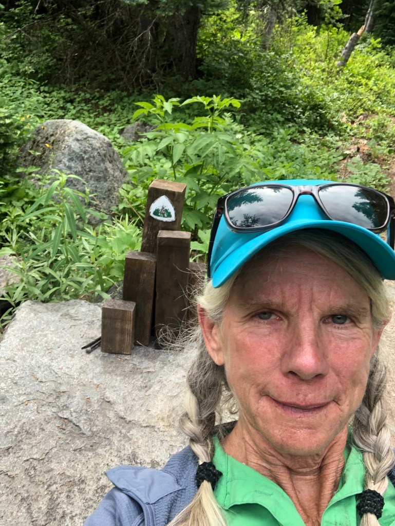
On the way back to the trailhead, Sarah and I stopped at the Olympic NP Visitor Center. I talked to a ranger and got the tide charts. I finally feel like I’m organized and doing my own thing. I intend to camp at all the permitted campsites that Poppy got, except for the 2 Quota controlled, just a day later than her. The park service says that should be fine, just be careful of the tides when I hit the coast!

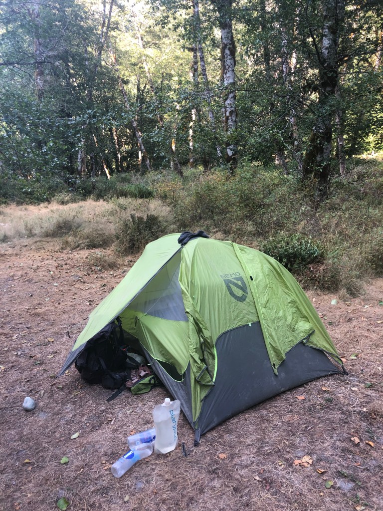
The walk back up the bypass trail was quick, then it was road walk (closed to traffic though), easy, a long ways to trail. I camped near the hot springs in an established camp area with tons of tent sites but only maybe 6 other hikers scattered out of earshot. Perfect.

8/20 17.6 miles

I slept in till 6:30! Then hiked about 11 hours. Lots of uphill today. Lots of people too! Weird. As I was going up early afternoon I couldn’t tell if I was walking into a cloud? Fog? I put on my rain pants and got out my rain jacket but it’s not wet. Beautiful trail but no views because of the cloud. Once I accepted the waterless mist, and that it wasn’t cooling off, I enjoyed the close-in details—cedars and birds and ridge walking. I chatted with assorted campers and hikers and felt quite cheerful. I was going to camp a mile before Deer Lake but as the side trail came into view I saw 2 separate groups heading to the small campsite. I got a little concerned as it was dinner time almost but kept on and found the last site in the Deer Lake complex and nobody came into the campground after me so I was good. Most people who are doing shorter hikes (I call them “short haulers” which is meant as a description not an insult) tend to make camp earlier in the afternoon that long haulers.

8/21 17.7 miles

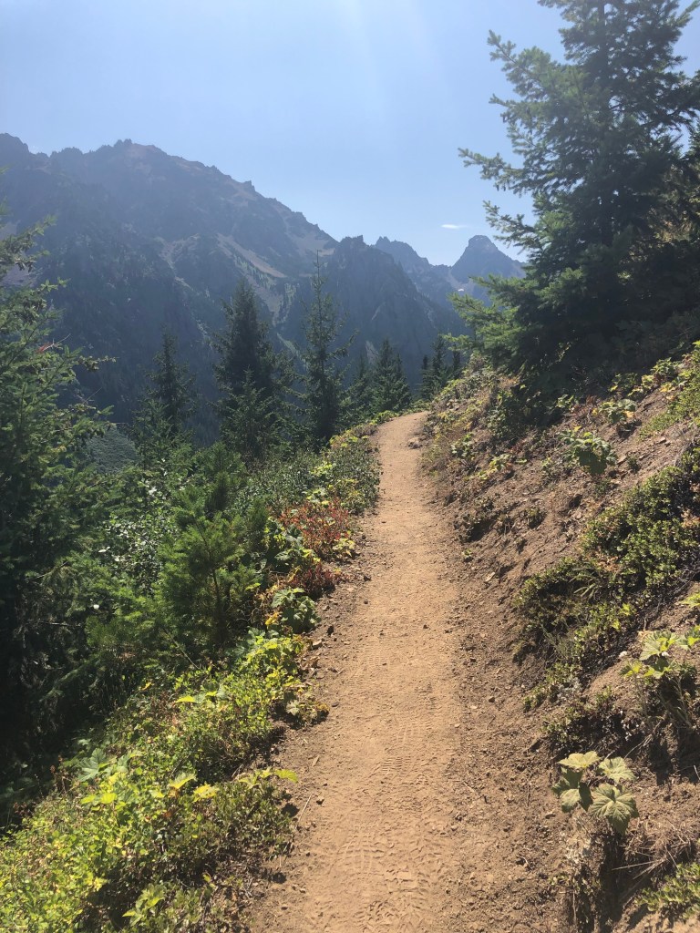
A lot of boring green tunnel (stretch of trail within vegetation and trees with no open views) until I headed downhill and started to spot fresh horse manure, a good omen!

Suddenly, Pacific Northwest Trail Association (PNTA) trail crew! It is so awesome to be able to directly and personally thank the individuals who actually work out here on the trail—the work they accomplish includes clearing blowdowns and overgrowth, constructing mini rock walls (“water bars” or “check dams”) across the trail to redirect water runoff, building rock steps and filling in eroded stretches with gravel.

They even laughed at my paraphrase of a famous line in the Apocalypse Now movie: “I love the smell of horseshit in the morning, it smells like….trail crew.”

After trail crew I met a retired couple who said this section was impassable until it became part of the PNT route a few years ago. They said it was so wet and swampy and overgrown they had turned back and didn’t try it again for years. I gave them the good news that crew was just ahead making even more improvements!

Then Sterling came hiking towards me! Remember Sterling was the man Poppy and I met at the PNTA office in Sedro-Woolley, the guy who gave us a ride to our motel, the Western Washington Coordinator who brokered agreements with the USFS snd the NPS to deploy trail crews out here and in the Mt Baker area. He recognized me and told me he’d seen Poppy earlier that morning and Beans a few hours later. This is how hikers get trail news—I now know that Poppy and Beans are not hiking or camping together, not that it matters. Anyhow I walked on after a wonderful uplifting conversation with this amazing man and camped alone, contentedly, at Flapjack campsite.

8/22 19 miles

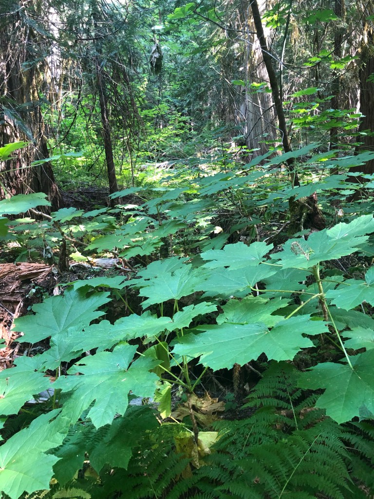
I hate to say it but it was kind of boring today, the rainforest is soft and lush and green but hour after hour of it gets old. Lots of day hikers as most of my day was spent getting to a drive-in trailhead. I talked to everybody, I think the more people out here, the better stewardship we’re going to have for our public lands and wilderness, plus, don’t tell my dearly departed Dad, but unlike him, I actually like people.

The highlight of my morning happened as I was walking along, on soft, peaty tread overhung with ferns. Suddenly an animal I’d never seen before came scurrying up the trail at me. It was about the size snd shape of a shoebox, short gray fur, so low to the ground I could see neither feet, nor face, nor tail. I exclaimed, “Whoa, dude!” but it continued over my left foot and vanished out of site up the trail.

When I got to town I searched the internet and I think it was an Olympic Marmot, something I didn’t know existed, and definitely in an environment unlike any other marmot I’ve seen. A rainforest marmot, how cool! I love rodents and marmots are the bomb.

It was trail to road to bigger road. I wasn’t sure how I’d get into Forks and my motel, there’s a bus from the campground where the trail route takes a hairpin turn south to the coast. I think the issue in this area is private land, including swathes owned by timber companies, and getting permission for foot traveling on private roads, hence the extensive road walking indirectly down to the ocean. But with just a few miles left, the first car going my way stopped and offered me a lift. I gratefully accepted, it was a couple from Colorado, who I’d seen day hiking earlier. Thank you! And when I got into my motel room, sure enough the uphill road walking had irritated my left shin again, it’s swollen and sore, so no guilt about skipping.

Forks is an old lumber town, there’s some very cool interpretive displays and a museum. But seemingly the big attraction is that parts of the five movies in the Twilight Saga vampire romance series were filmed here. I never saw any of the movies but of course I recognize the actors on the movie posters all over town.

8/23 zero

Since I’d arrived on Sunday, I couldn’t pick up my box from the post office. That’s the main reason hikers look to send their resupply boxes to a business or motel or trail angel that is open 7 days a week. Not a big deal for me to have it sent back if I didn’t want to wait for Monday post office hours, then take the bus back to trail, then do a 23 mile road walk to the first legal place to camp. I could buy what I needed for the last stretch to the end of the trail. But. You can see where I’m going with this.

At the motel last night after a shower and laundry and a great meal of pizza and beer nearby, I started investigating the logistics of getting out of Forks. Looked up bus times, called them and left a message, googled shuttle services and found Olympic Hiking Shuttle, emailed them. All on a Sunday night so I didn’t expect to hear anything until this morning, Monday, when I did!

Since deciding I needed to be on my own recognizance the far side of Port Angeles, I’ve had to go back to making my own decisions, not a problem. The bus would run me a ways back to trail and maybe a bit further if the bus driver had a place to pull over, today. Olympic Hiking Shuttle could get me to the coast, skipping the 23 mile road walk, for cheap, since they were picking up and dropping off some other hikers back at their car. Tomorrow. I booked another night in Forks and paid online for the shuttle.

And even better, got a text from Ravensong who I knew was going to be back hiking somewhere in this area. She and Judith are doing a week “up the Hoh” to a glacier, and she wondered where Poppy and I were. Well Poppy couldn’t answer I think because she’s up the trail and out of cell service. But I answered and we three ate dinner together in Forks, so happy to meet Judith and see Ravensong again, they’re great!

PNT Whidbey Island to Port Angeles

8/13 16.3 miles

The zero helped! My shin doesn’t hurt. Rick dropped me at the ferry terminal, it was a 45” ride to Port Townsend where I found the lovely old brick post office and collected my resupply box. With the food I had leftover from so many days staying in motels, I think I’ll be fine. From Port Townsend the trail was city street to a bike path along the harbor, gorgeous views. After awhile the trail was going to be Highway 20 again, but the Guthook comments described an alternative bike path so I took that. Turned out to be double track dirt road for the overhead power lines. After a few miles of easy walking, it turned into a blackberry, Devil’s Club and other things with thorns bushwhack. Arrgggh, too far to turn around so I struggled on, hearing highway traffic nearby. I finally saw cars flashing through openings in the jungle and made my way to an embankment above the highway. I slid down it somehow hanging onto whatever I could find and landed on the skinny shoulder covered in blood smeared all over my arms and legs from thrashing through skin ripping vegetation. I used my water bottle to clean up a bit before another 5 miles or so on lousy Highway 20 to 101 to Poppy and our agreed camping place at a great trail angel place on Uncas Road. Greg is awesome and has a privy, water and tent space along with a shelter if it was crummy weather and a warm greeting. Plus Poppy and Tex were there and we all cooked dinner, talked and admired the flint napping that Greg has been working on. So despite the bushwhacking and relacerated legs and arms, it was actually a fine day.

8/14 21.5 miles

A dog lot of mastiffs on the next property barked off and on all night. Earplugs helped a bit.

More paved road walking today to a nicely graded dirt road and finally trail. A good day all in all, about 12 hours in transit. I realized I’d done a stupid thing and am not carrying enough food for the miles. When I’d planned, I calculated going the shorter alternate route and didn’t check with Poppy what she calculated. It would have come up if we’d taken the same ferry to Port Townsend where she shopped and I got my box for this stretch. So my bad, I’m now rationing for 100 miles, not the 60 I planned. I’ll be fine, if a tad hungry.

8/15 18 miles

Beans is back!! We haven’t seen him since Mt Baker so it was awesome to camp and talk with him again. Also Poppy gave me her extra bagel to help with my poor food planning, yay!

Today was pretty much a green tunnel (all trees, no views) to a full parking lot and great trail, tons of people (30+ when I quit counting humans) and 9 dogs. Marmot Pass was beautiful although there weren’t any marmots, disappointing.

8/16 18.5 miles

Another gorgeous pass although the trail was crap going down the other side to the junction. The next 10 miles I leap frogged with Beans since Poppy takes off early in the morning and she’s gone till the campsite, the new normal now. Beans and I got lightly rained on for an hour or two and got wet mostly because all the vegetation next to the trail brushes your legs. He was feasting on huckleberries as he went and showed me the three different kinds—I had no idea and they really look different from each other. Cool.

Got to camp and Poppy showed me some tent sites near her. I was getting cold from being wet so set up camp and climbed in to get warm. She came over to visit and Beans and I made our dinners and we all chatted with me shivering in my tent snd them sitting just outside. Hikers!

I told her I wasn’t going to follow her plan starting tomorrow. I know she went to a lot of work to get the Olympic National Park (ONP) campsite permits and I appreciate it but I need a night in Port Angeles to recharge batteries and myself. Her plan involves hiking well past tomorrow’s permitted site, then dashing into Port Angeles for groceries and food, then hitching back out and walking 11 more miles. I asked why but there wasn’t an answer. So I will finish 1 day later than she will. I am still permitted for campsites, I just have to avoid the ones that have specific quotas which is only a couple. Hopefully it works out.

Another interesting dead thing

8/17 18.8 miles

Poppy was gone when I got up. Beans said goodbye as he headed out a few minutes before I did. Another incredible pass in the alpine with good ONP tread! Hayden Pass. Then a long 9 miles down to our permitted campsite at Mary’s Falls—I had it all to myself right next to the rather loud Elwha River.

Mary’s Falls camp
Historic cabin along the Elwha River

8/18 15 miles

Pretty easy day. I heard from Catwater’s Kid on the inReach in the morning. She does have today and tomorrow off from work and will meet me for the night in Port Angeles, that message lit me up with joy. I’m feeling bad about ditching Poppy even though it’s the right choice for me and this happens in the hiking world often. One partner’s getting faster and the other is wearing out, or one has a different time schedule or goals than the other.

You have to walk off the PNT for about 2 miles to access a trailhead and road to the highway and town. I saw a hiker woman making lunch near the junction and went and asked her about the “bypass trail.” She was going to walk out too after her lunch and said, “I want to give you a ride to Port Angeles!” And so it happened, what a hoot she was, from Portland, and in a previous season she’d hiked 500 miles of the PCT. She dropped me at my motel, telling Sarah, “Your mom’s a badass!” which Sarah laughingly agreed with.

After being on short rations for the last stretch, real food and beer was especially welcome. And I try to learn from my mistakes, so I studied the trail ahead pretty carefully, bought resupply, a leg sleeve for my sometimes still sore shin and made a reservation for a night in Forks. Also the Super 8 has a resident cat, Douglas.

PNT Bellingham to Whidbey Island

8/9 23 road miles

Ravensong dropped us off on the road where she’d fetched us from yesterday. What can I say about today? Road, all road, through lovely flat farmlands with that wide open feel I love. Walking Highway 20 isn’t my favorite thing to do. But I’d reserved a lovely motel room in Anacortes—we had our own bedrooms which helps since we seem to be at the point of being constantly irritated with each other—too many weeks together. I don’t think talking it out will help. Feelings would be hurt for no resolution.

8/10 25 miles

A bit of trail in an Anacortes neighborhood to roads for a very long time. Feels like I have a shin splint on my left leg. A bad day when your hiking buddy walks off ahead in the morning and at the end of the day you find yourself ahead of her with some kind of accusation floating in the air. Did I pass her when she was in the little store at a road junction? Doesn’t matter, there was 1.8 miles, off trail, from the “trail” junction to our motel, downhill, but she did not want to walk it. (“I’m not doing 25 miles!”) I had an Uber OK for awhile but that went away. She caught up and flagged down a ride, amazing boldness, yay!

8/11

Annoyed with me again, this is getting old. My leg is hurting bad, and the shin is kind of swollen, so I’m not walking the beach but sticking to the road.

I let her know that I was going to stay with a friend on Whidbey Island and she was welcome too. But mid day I got a text that she was at a trail angel’s in Coupeville.

Rick and Mike (and Ellie the Weimaraner) picked me up around 3:30, handed me a beer, and whisked me to Rick’s house in Freeland. Ocean view! Quiet and comfy. It was so great to talk with these smart engineers. Plus they cook! And sweet Ellie let me pet her and scratch her belly.

8/12 zero

Lovely relaxing day. My shin needed this rest and barely hurts anymore. Rick cooked me King Salmon, yum! Thanks Rick! Thanks Mike! Hugs, scratches and doggy talk Ellie!

Poppy zeroed at Happy House and decided to take the early ferry from Coupeville to Port Townsend even though I’ll take the later, 8:45 am ferry because I need to get my resupply box during post office hours. We’ll meet at the end of the day at Greg and Heather’s trail angel place to camp.

PNT Sedro-Woolley to Bellingham

Catwater and Ravensong in Bellingham

8/6 13 miles

Ubered to Sedro-Woolley where we left off. Poppy mailed back the road walking shoes she’d picked up in the mail yesterday. She thought they’d suit her better than trail shoes since we’ll be doing so much road walking. Umm hmm.

We walked 8.5 miles up paved Highway 9 to join a steep gravel logging road. We camped in mist which slowly cleared for views over Puget Sound. And traffic noise from the highways below us.

8/7 17.7 miles

Picked up my resupply box at a new trail angel place near Alger. Nobody home but it was great to get a box on a Saturday, not worrying about post office hours in a tiny little place.

It rained all night and now all day. I pitched a wet tent and my fingers and toes are still pruny. Poppy hates not being able to dry her stuff, so as she walked she checked the Alger trail angel place, then the Alger Fire Department, community hall and church, to ask for a place inside to dry out. Nobody home.

For me though, it was not bad today, really, in full rain gear. It’s not cold but there aren’t many views, unless you count walking under the I-5 freeway. Lots of road walking, paved and gravel, until joining lovely trail, I felt fine today.

8/8 maybe 5 miles?

Ravensong! Poppy waterlogged her phone last night, but borrowed a day hiker’s this morning on our way to paved road to call Ravensong who came and picked us up and took Poppy to ATT for a new phone. But first we got second breakfast, all 3 of us, in Edison. Later Ravensong took us to her house for the night. We hung our wet stuff on the porch to dry, showered, washed clothes and visited! We walked from her house to the lake, then the falls where Chris took me when he was living in Bellingham a few years ago. And I suggested Aslan Brewing for dinner, which was great, probably still the dishes Chris created.

PNT Mt Baker Hwy to Sedro-Woolley

7/31 10 miles

My wonderful daughter took us to REI, then all the way back to where she picked us up yesterday before driving hours back to Seattle. We started hiking at 12:30 pm, me with new undies, socks snd bug dope.

It was the paved Mt Baker Highway uphill all day with quite a bit of fast moving traffic. I’d like some signage (a volunteer project for me?) saying something like “PNT National Scenic Trail, Believe It or Not”

We had a lovely stop at the ski resort cafe—cookies, beer and Gatorade at 3:30. Tex is back! He was standing in line ahead of me, haven’t seen him since Metalline Falls. He is an amazingly competent and independent 18 year old from South Africa living with his family in DC.

We made it through the resort and camped, smoky with rain in the forecast. Tomorrow will be trail downhill for quite a ways though.

More than ever, I want to snowboard Mt Baker next winter!

8/1 23 miles

It started early on lovely forest trail for awhile, then not so much. I did 2 awful “butt scoot” river crossings on logs after many hours of overgrowth and blowdowns. I tried to ford but the water was too fast and the hidden rocks too slippery. A lot of times the logs for crossings will have been cross-hatched for traction and have a rail to hang onto. Not these and with my tippy pack on, I just don’t trust that I won’t fall off the log if I walk it. So I sit astraddle and laboriously inch across. Then it was good trail to a short cut, about 9 miles on paved road. It was wet but not cold today.

8/2 20.4 miles

My battery charger is almost empty, it never charged properly in Bellingham. I don’t want my inReach satellite tracking (and SOS) device to go dead and my phone also needs to stay alive because of the maps snd books loaded on it. Yes I also have paper maps.

We walked gravel road uphill to a trailhead, why is it always uphill? And there were people! Beautiful trail around the other side of Mt Baker, even if it was a smoky, hazy, windy kind of walk. The tread was good all day except for the last mile and a half of blowdown. Goon Squad, last seen a few days ago, came in late and camped with us.

8/3 18.5 miles

Ick day. Blowdown to overgrowth, finally at 1:30pm—gravel roads—uphill in clear cuts. We’re now pitched in the worst of the 5 road turnout campsites we’ve used to date. We got woken up at 2:30am by logging equipment driving by, more or less continuously till we finally got up and started walking.

8/4 16 miles

Road walk to Lyman then the rail-to-trail segment to Sedro-Woolley where we went to the PNTA office. There we met Sterling, the trail crew boss and organizer who gave us a ride to Burlington and our comfy motel. We Ubered to downtown Mt Vernon for great pizza and beer on the Skagit River.

8/5 zero

Got a new Anker battery charger from Best Buy since mine, 2016 vintage, won’t charge anymore. Also about 2 lbs of See’s Butterscotch candy. Then Farmstrong Brewery, a short walk away, for great food and okay beer.

PNT Jumping Over Fires

PCT @ Stehekin to Mt Baker Hwy

7/25- 30

7/25 Slide Rule drove me to Chelan along the scenic route, which became more scenic as we encountered an unpublished road closure which forced us up through Republic (excellent lunch stop!). I shared a motel room with Beans and Poppy.

7/26 11 miles

We walked a couple miles to the ferry terminal and sat on it from 8:30-1 pm, arriving in Stehekin where Poppy found the ranger and got us a campsite permit since we’re in North Cascades NP. We waited a bit, got the bus, stopped at the bakery and started hiking the PCT at 3 pm. This is my fourth hike through this section, I am home! Even camped where Puff Puff and I stayed in 2016 on the PCT SOBO. It was super hot climbing out of the bus stop, I just felt sleepy. Later on there were 2 bad bears, unafraid of us, not aggressive, just too comfy with humans. Pretty though. We hiked on and camped in the lovely and cool.

7/27 22 miles

Beat feet for 12 miles to make noon pick up at Hwy 20, thanks for the ride, Forest! We waited at the parking area for Ross Lake for Beans’ mom Susan to bring the resupply boxes we’d sent her. 2 trail angels in a single day, so thankful for the helping hands. Meanwhile Poppy and first time acquaintance Ravensong went and got us campsite permits for North Cascades NP, which somehow all 3 of us kind of forgot in the scramble to jump over forest fires. Ravensong is about my age and is the first woman to hike the PCT—in 1976! Plus she has a hiker hostel in Mazama, currently closed due to fire, and is just a delightful person. Susan walked a ways with me and Beans to the Ross Lake Dam and then we walked till 7 pm again for the second day in a row, whew.

7/28 17 miles

Dan’s birthday. Beautiful day: trail, trees, everything. camped again with Ravensong, Beans and Poppy. Saw mule deer and a huge toad and met hiker Goon Squad (who I later learned has a BS in Physics from Stanford—oh shades of my dad).

7/29 18-ish 6am to 6 pm

Just bored with walking today so I camped a few miles before Beans and Poppy. A lot of unmaintained trail—obstacles to be negotiated—including blowdown covered trail petering into washed out and dry creek beds. It was hot, the biting flies are undeterred by bug dope, even Deet, and the smoke is obscuring the views. Poor entitled hiker me.

Ravensong looked exhausted when I passed her at the tip of the steep climb up Whatcom Pass.

Another hiker, Allison, helped me pull across the hand tram to our side, then we pulled ourselves across to Poppy and Beans. I was annoyed that they didn’t know hand tram protocol which made me glad to camp by myself and calm down.

Ravensong came by my tent about 8 pm, worried by the increasing smoke in the valley. She was pretty traumatized by the fire in Mazama, flames behind her house. So she was intent on hiking over Hannegan Pass.

7/30 13 miles

Beautiful Hannegan Pass this morning, even as smoke filled the valleys below me. I got over and to yet another gravel road walk down to a picnic area.

I’d contacted Sarah aka Catwater’s Kid to see if she could drive up from Seattle area and take us to Bellingham, some 50 miles away for a night. So Poppy, Ravensong and I enjoyed sitting and visiting and admiring people’s dogs (and a cat in a backpack!!). Sarah got us, we ate dinner out, dropped Ravensong at her house, then did the hiker chores—shower and laundry—-before settling in for the night. I love my daughter!