Burning Hot Lava

August 14
PCT Mile 1950

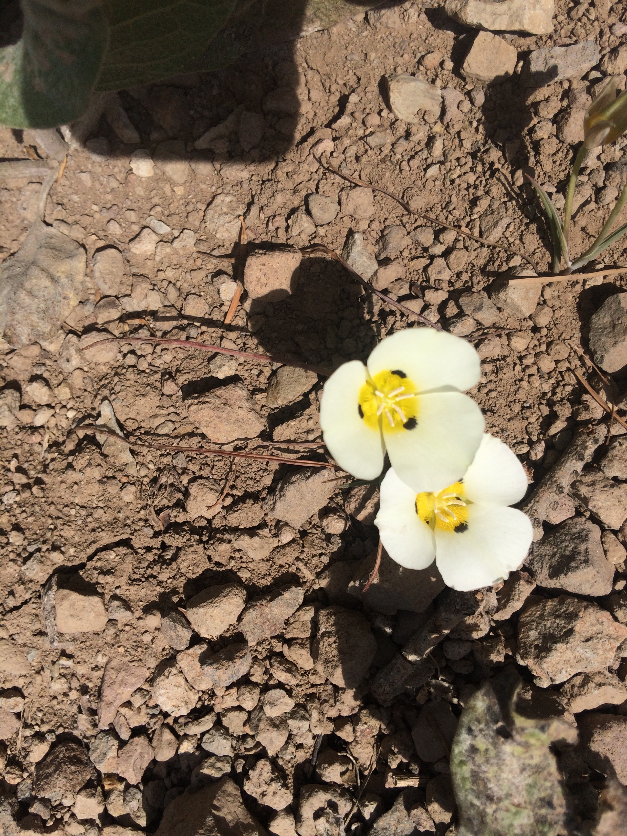
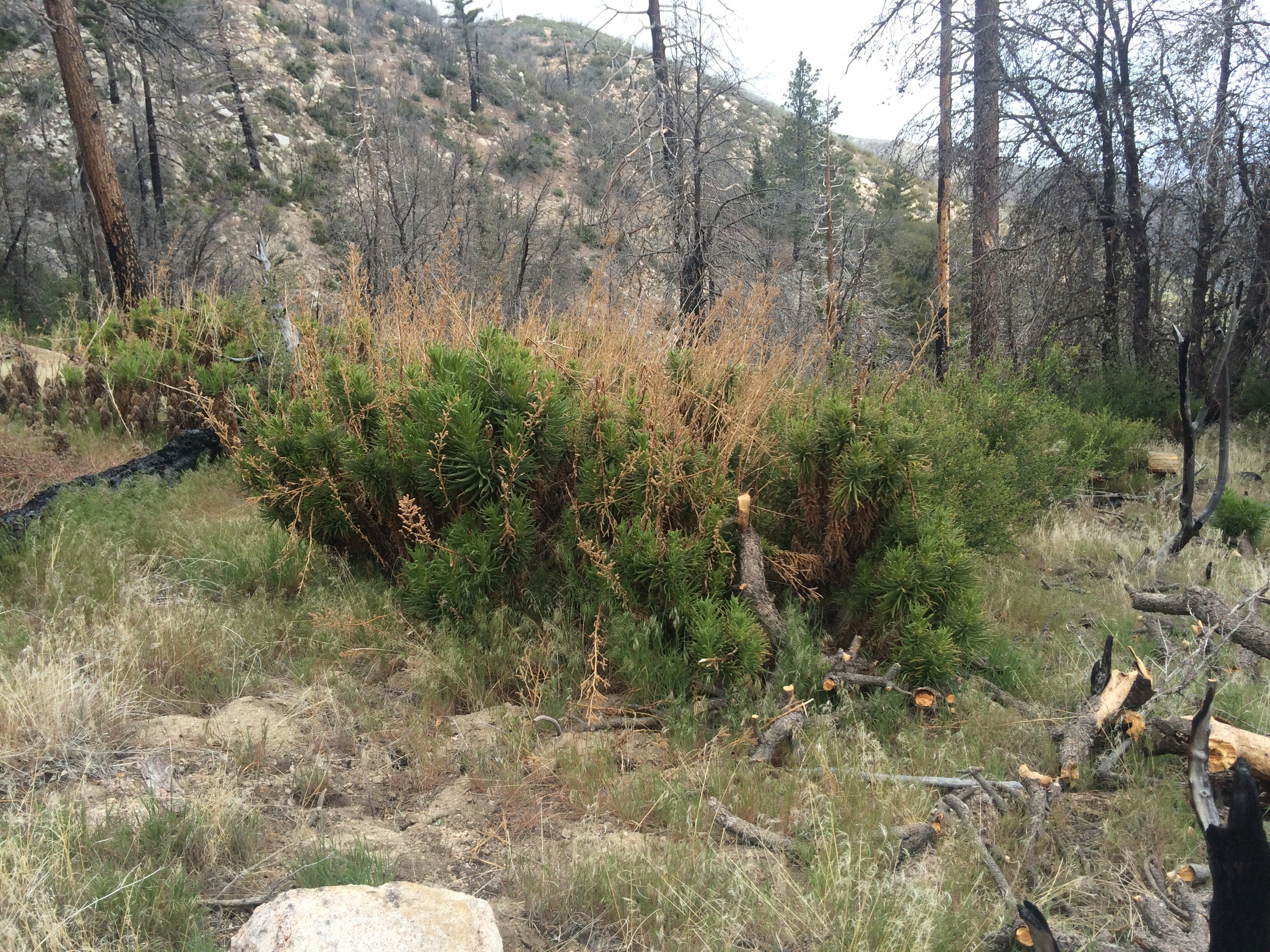
Nice phrase, eh? Credit goes to my kids, who could never just say “lava,” it was always “burning hot lava.” So wherever I see the stuff that’s how I think of it. There was no burning hot lava on this stretch, just lots of the cooled down rock, and since I’m stil just writing this blog on my phone I’m not going to Wikipedia the proper terms for the massive fields of black scree lava, the trail built of red cinders and all the other manifestations of volcanic activity that Jackie and I walked through when we hit the trail out of Callahan’s near Ashland.

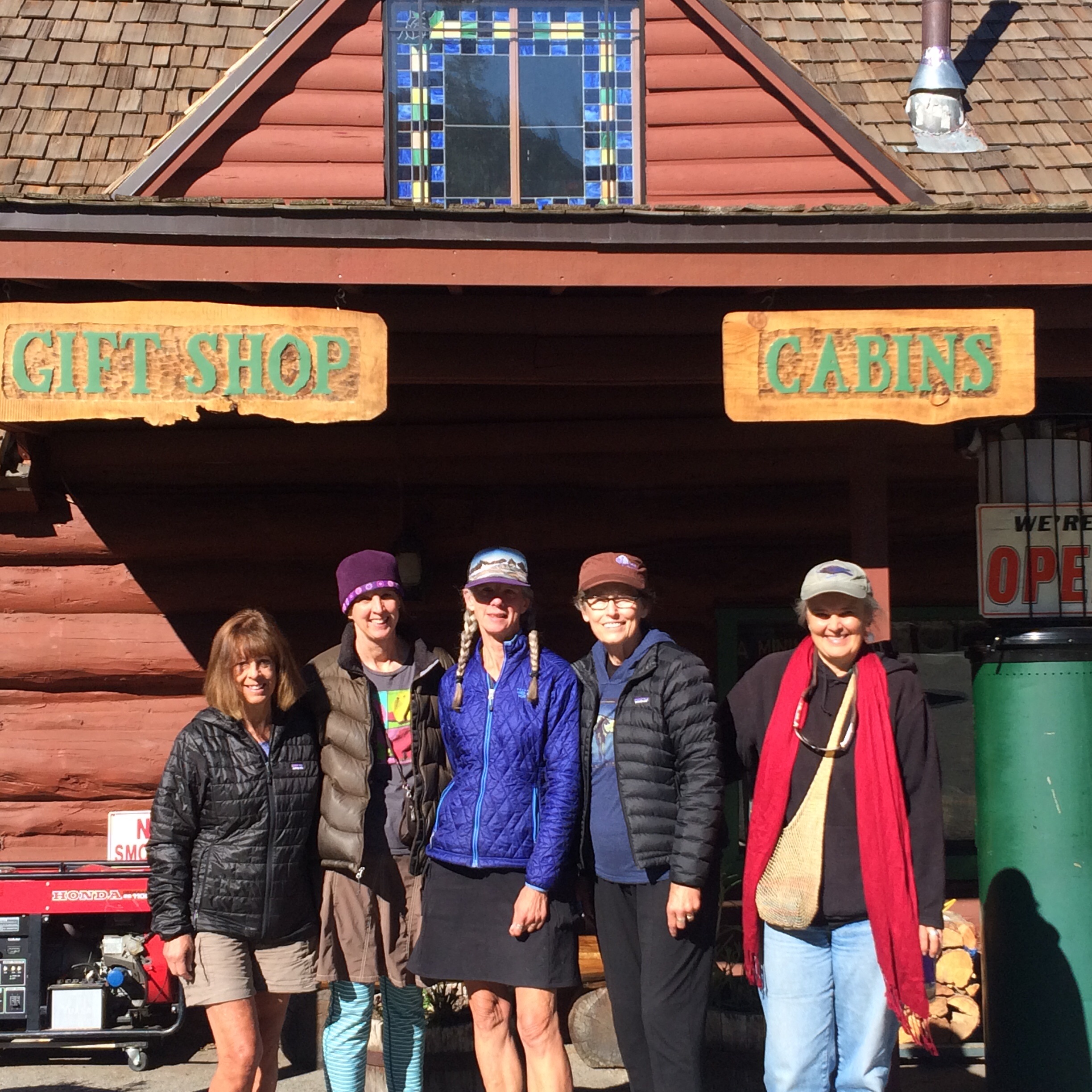
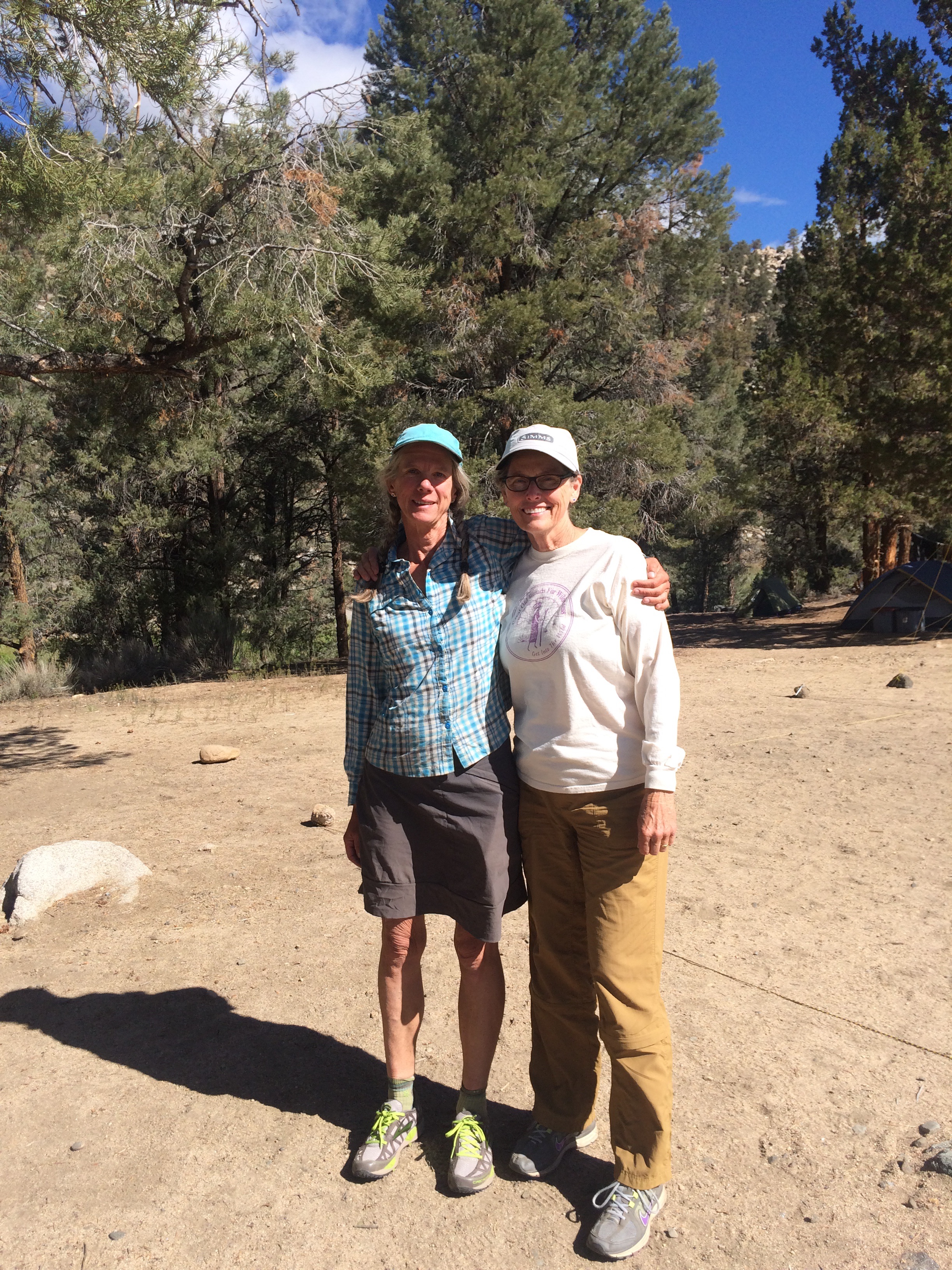
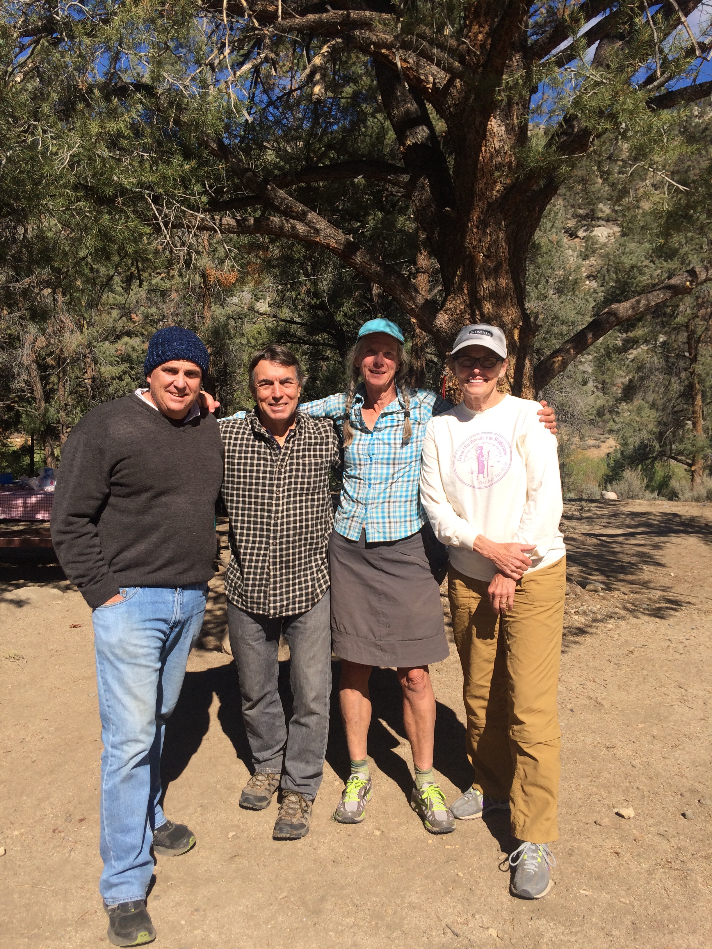
Jackie joined me for 3 days, doing 18 mile days right out of the blocks, pretty impressive! It was fun sharing the thru-hiking experience with a friend. She met Sparrow, and listened in as we shared trail news and gossip of hikers ahead, behind and off the trail. We got to know The Ravens, an extraordinary family of 4, who I last saw Day 3, Ann, Tim, 10-year old Little Crow, and 13-year-old Bling. Look for their daily blog on the PCTA website. We talked with Woodpecker, whose wife was also a guest-hiker for “3 weeks or 3 months.”

Jackie left the trail with a box of rocks to mail for the Ravens, and gave a ride to the trail angel who made us all breakfast burritos back at the Lake Isabella campground. Oh, and Keith and Nick brought me a burger and beer and their dogs!  I had to let the dogs get back in the car though, dang.

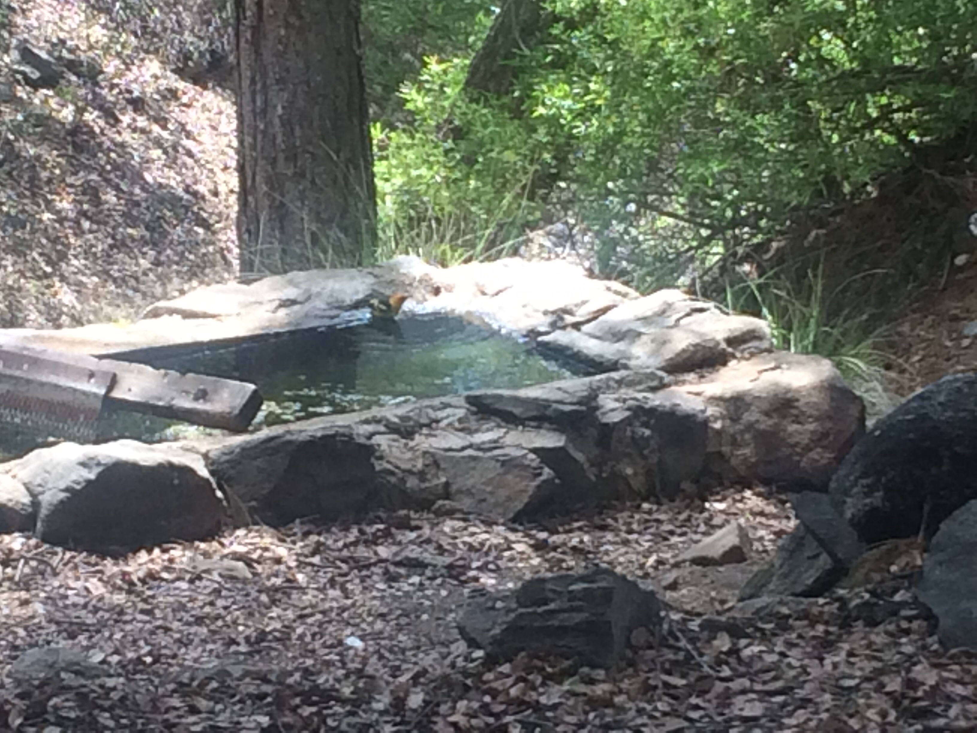
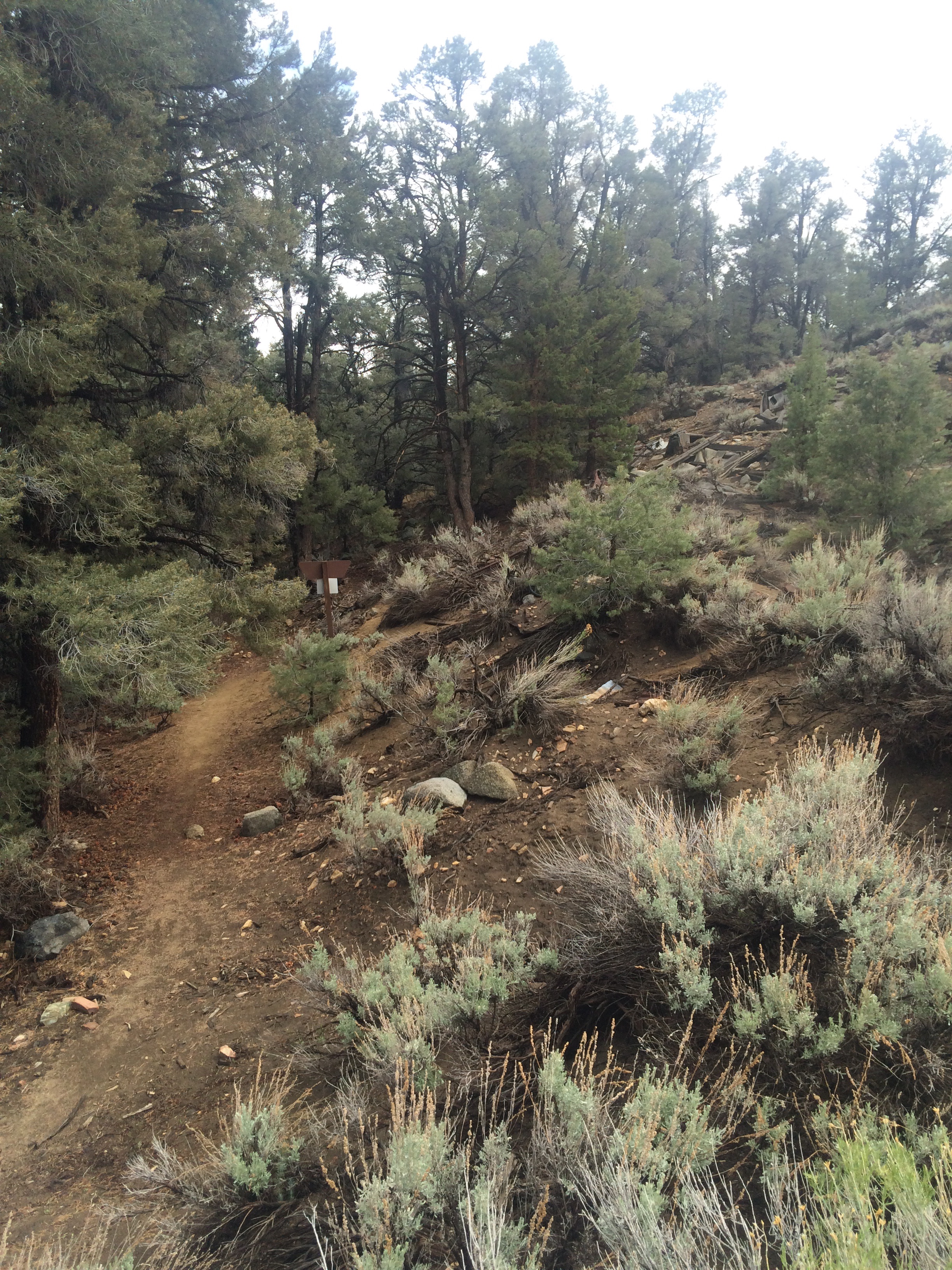
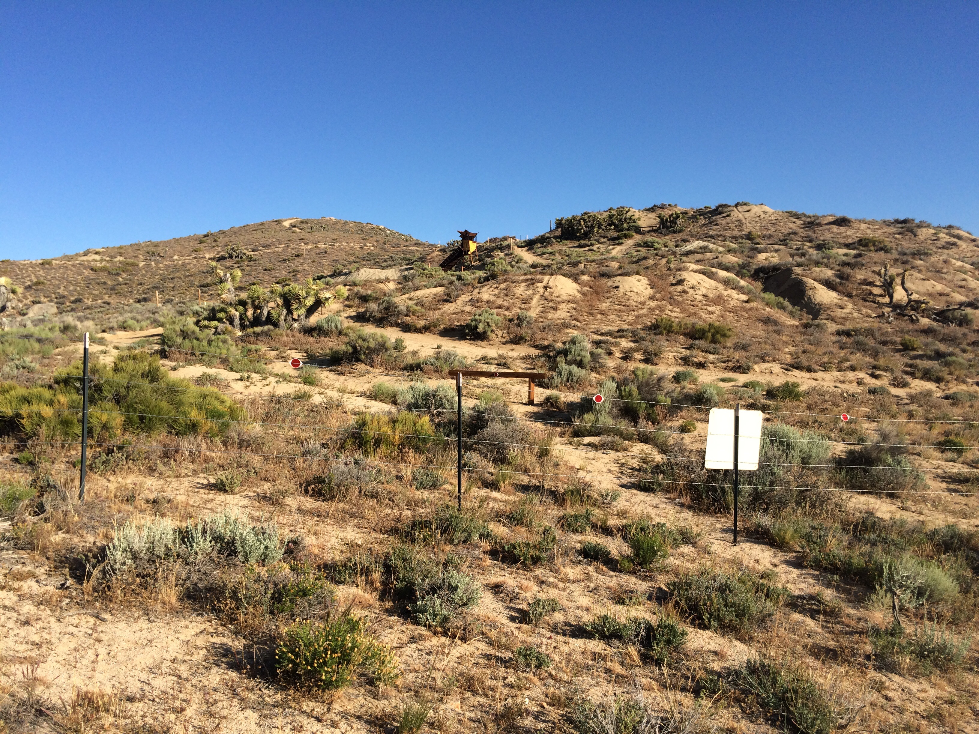
Back on the trail and a rather boring slog to Crater Lake National Park, enlivened by discovering Milkshake and Sticky Buns also took time off. I stayed in the backpackers section at Mazama Village, managing to do the usual chores (shower, laundry, resupply, drink beer, charge all the devices, eat real food) by 8:30 the following morning. I hiked up to the PCT alternate route, the Rim Trail, and soon picked up 6 liters of water for a 29 mile dry stretch, and I picked up an attitude.

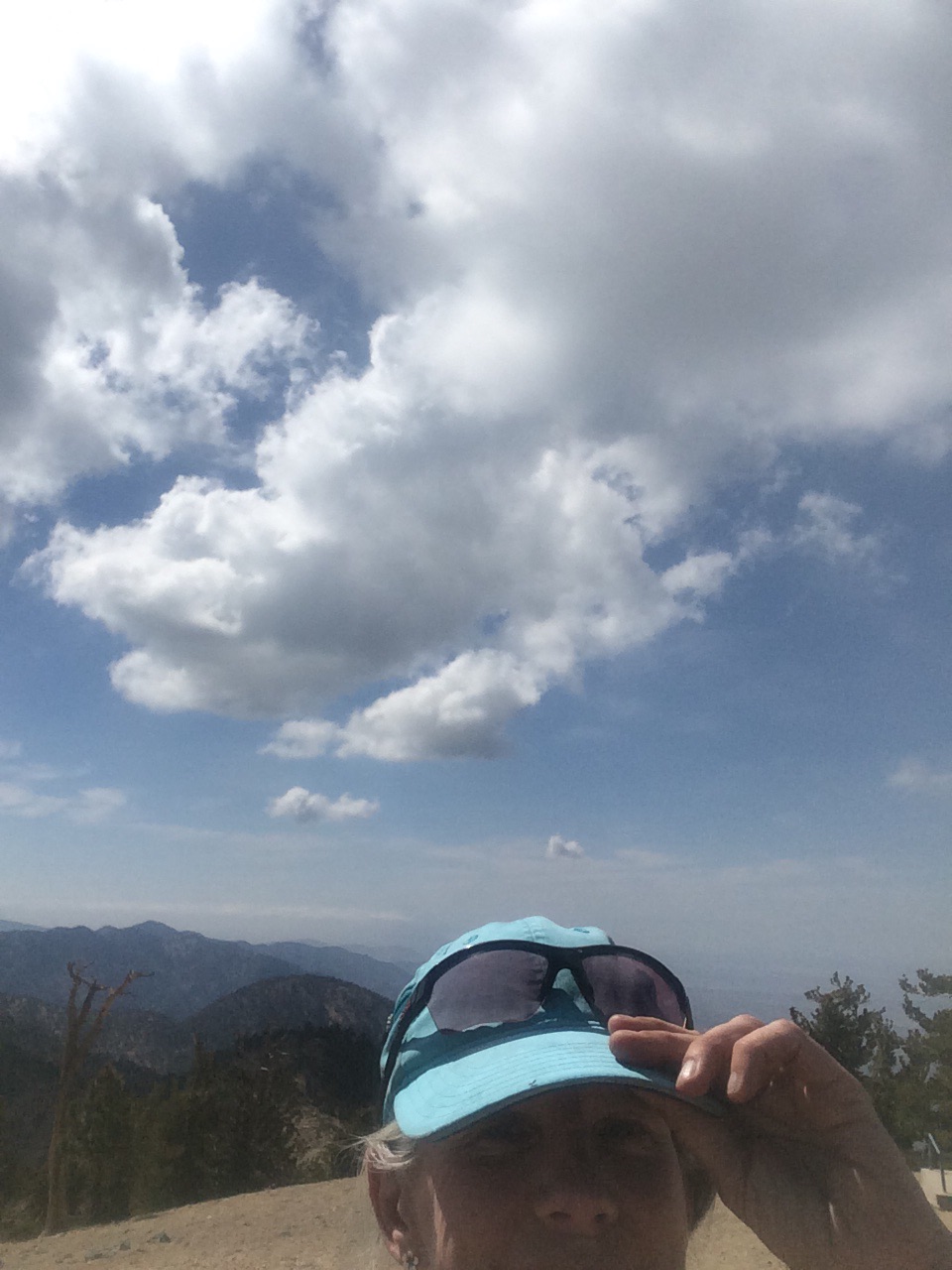
So here I am, clean, silver haired, amiable, with a backpack and hiking sticks, walking along the Rim Trail which parallels a paved road with frequent tourist turnouts filled with frequent tourists venturing a yard or two down the trail to peer over the rim into the lake. As on the regular PCT, I greet everyone, but this bunch avoided eye contact, even the uniformed Rangers giving informative talks couldn’t say “hey”, a few tourists actually scuttled away when they saw me approaching. I suggest Crater Lake National Park institute a fundraiser to provide additional helpful signage along with the usual signage indicating bears are present and you will fall off the Rim if you get too close:

WARNING: PCT HIKERS IN THE PARK

May be identified by their lean, hungry, filthy appearance, possible odor, backpacks, rapid walking gait, and slightly blissful smiles.

Do not speak to them. They may bite. Do not try to walk past them, they’re faster than you.

Avoid eye contact. If one approaches you, quickly place whatever food or beverages, especially beer, that you have on the ground in front of you and slowly back away. Don’t watch what happens next.

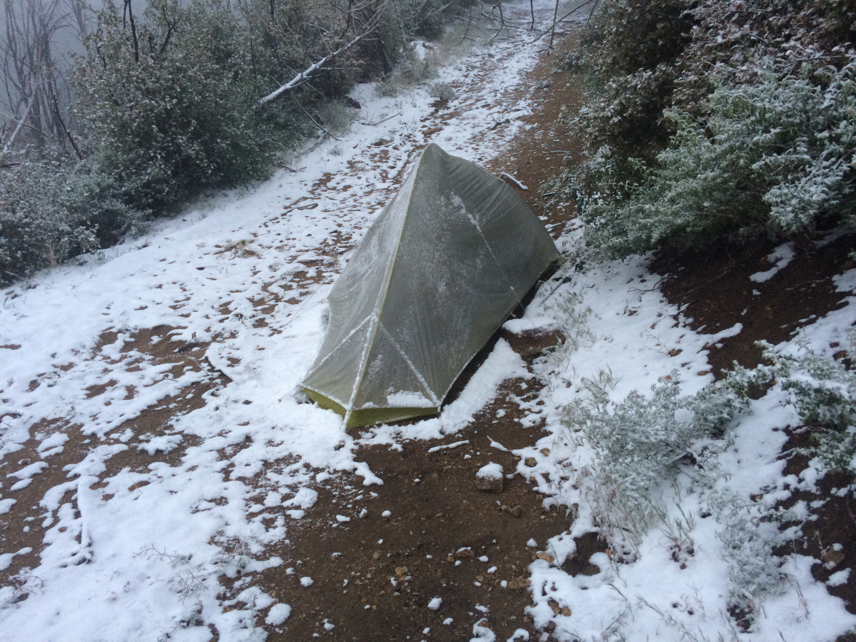
OK, so I was tired, carrying a to of water and food and made it just 20 miles, camping by the side of the trail on lovely piles of duff in a tiny forest growing back through downed and rotting trees from an old burn. Slept great. And determined that if I hiked 29 miles the next day I wouldn’t have to haul water to camp. So I did, lovely soft, flat Oregon PCT, longest miles in a day so far and it took me less than 12 hours. Woot woot.

Sometimes it seems like you just pound miles to get to your next food box. Shelter Cove Resort is beautiful, I got there in the morning, stayed for 5 hours (gotta charge that battery charger, takes time) and ate 2 Costco poppyseed muffins, 1 Dr Pepper, 3 Gatorades, 1 tiny bottle Chardonnay and a large hot dog. Visited with other hikers including SOBO dog Echo and her man hiker. I love dogs, I love seeing them on the trail and in the towns. I love horses, mules, grouse, deer, naughty chipmunks and squirrels. I would love kitties on the trail but nobody brings them, so I’m holding out for a bobcat or mountain lion or Lynx or anything else sneaky and feline.

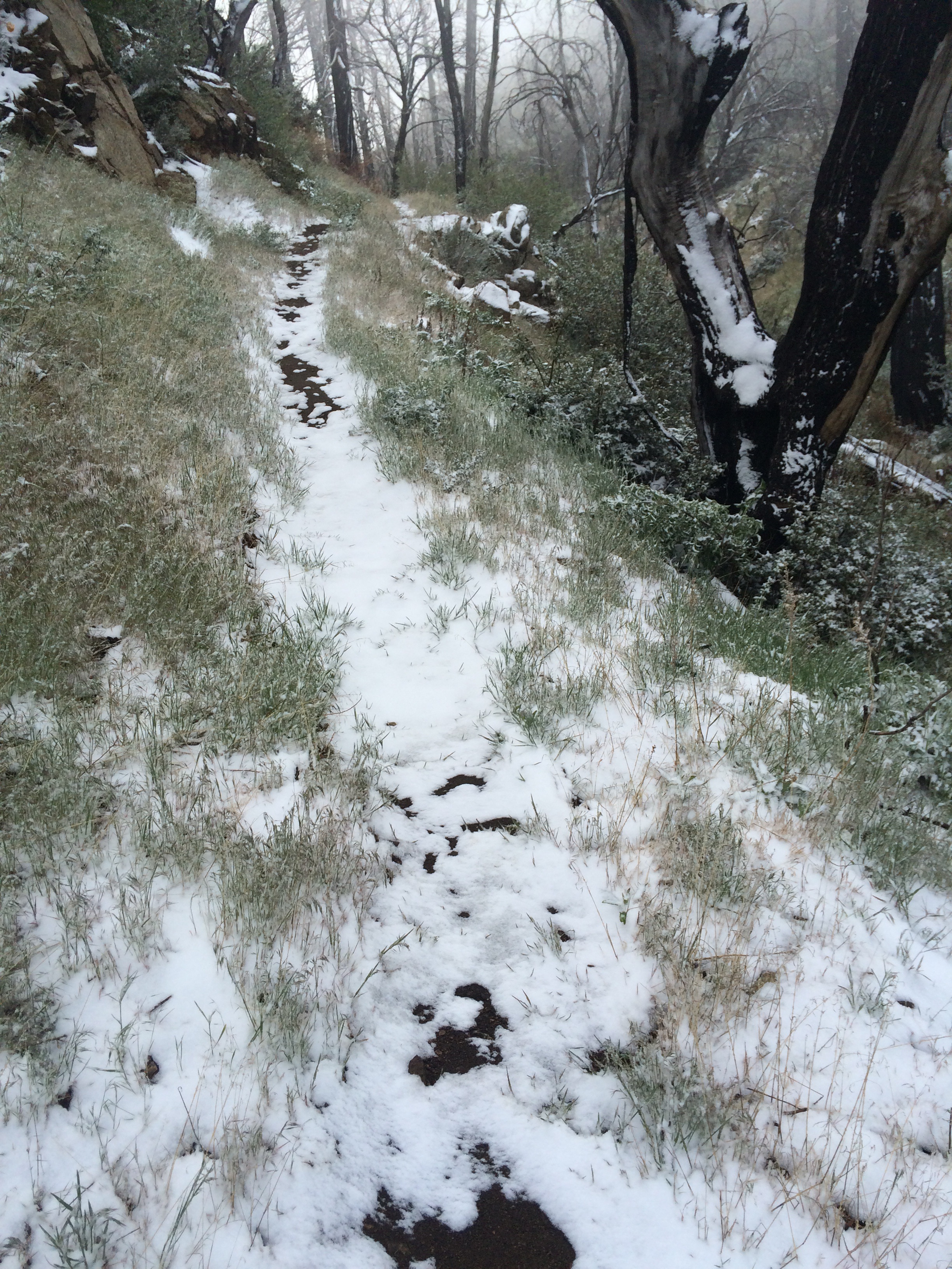
It has been smoky, and it’s getting cool at night. Sunrise is later.  Seasons changing.

Just when I didn’t think this trail could get any better, celebrity hiker Billy Goat appeared hiking south. Go watch the wonderful PCT documentary Go Tell It On The Mountain.

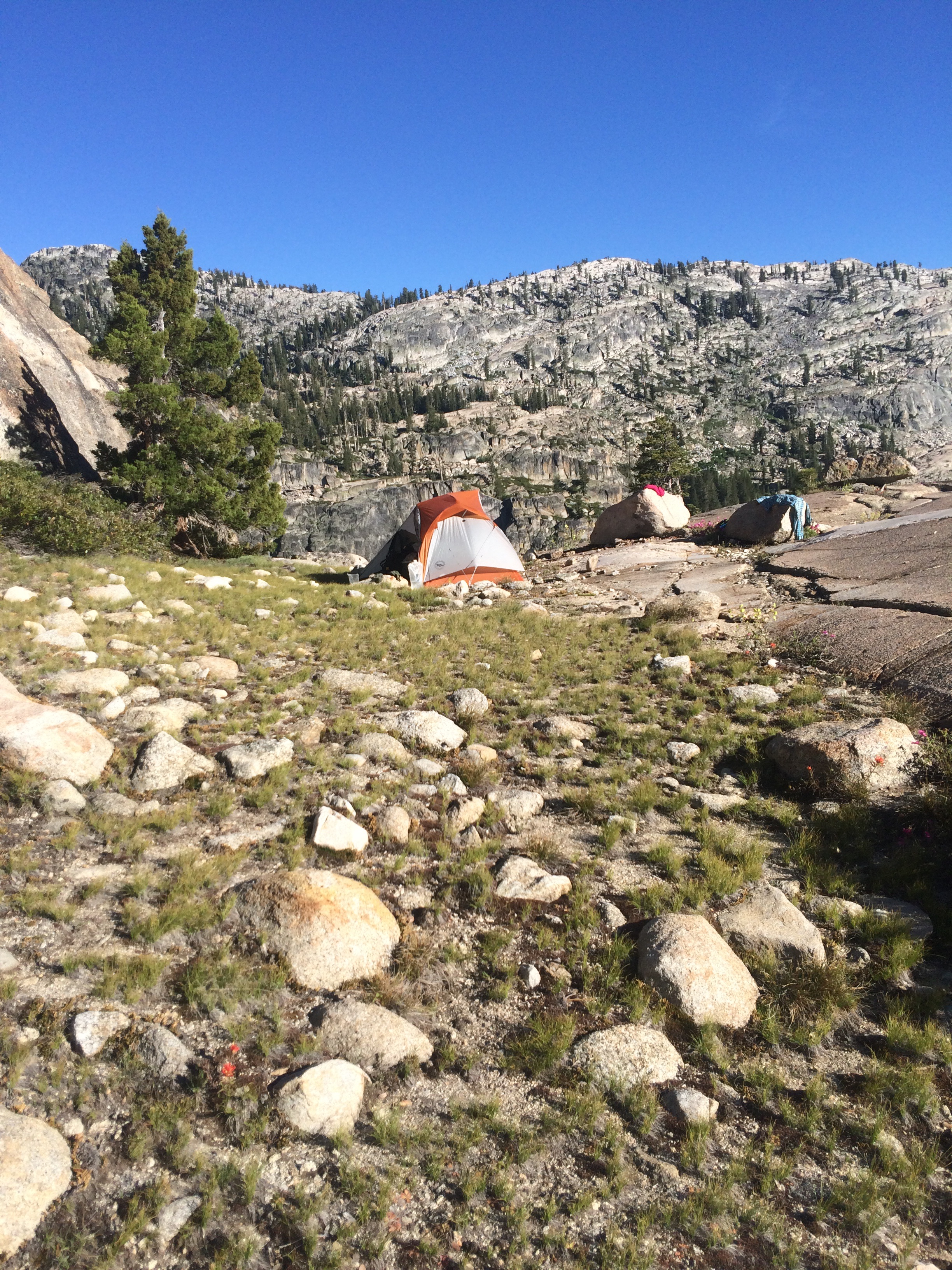
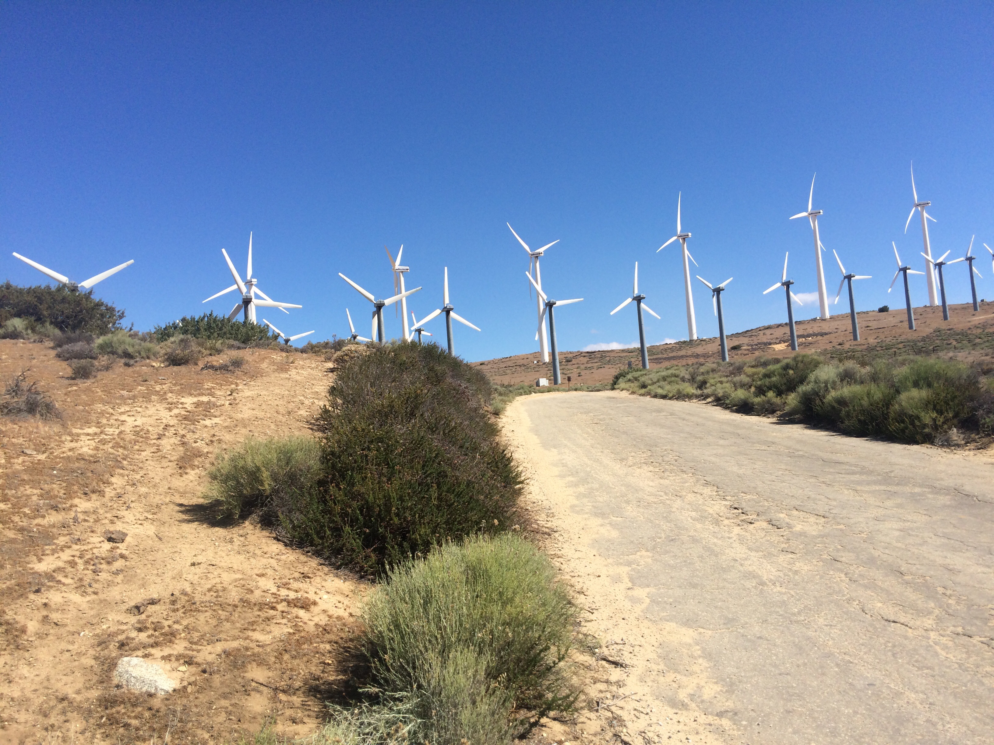
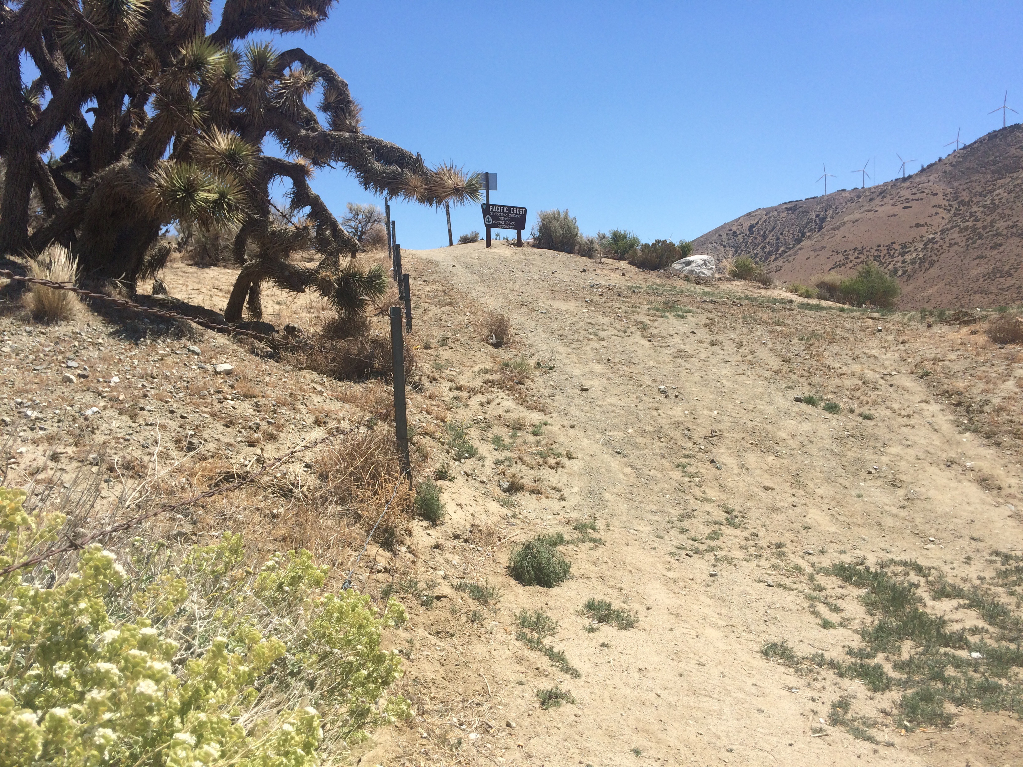
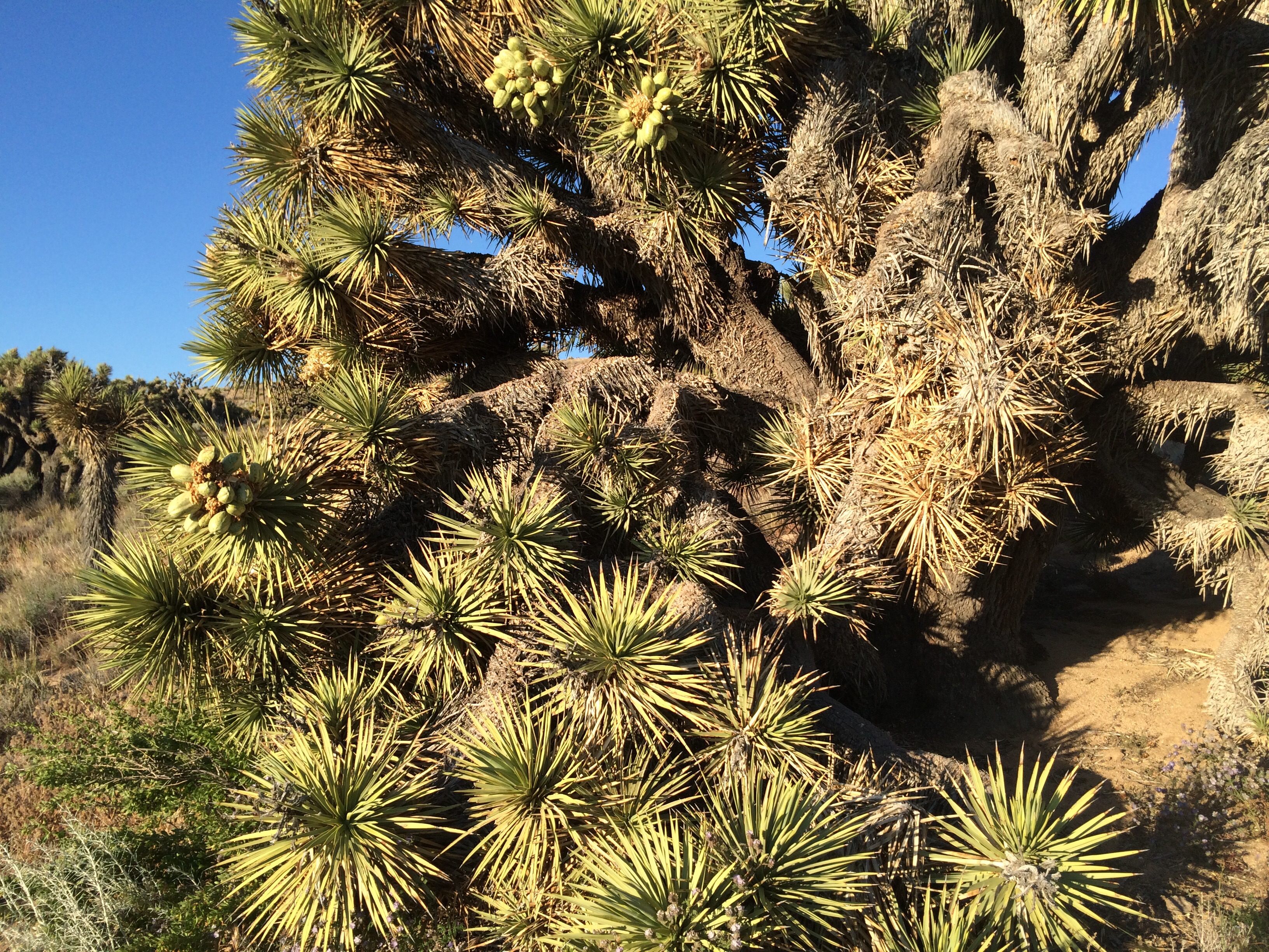
I’ve got some photos from this section but I’ll post them in a separate blog.  I’m writing this in my tent in the noisy Elk Lake Resort Campground. I had to eat some real food and this is the price I pay.  I’ll get up early and get back on the trail.  Meeting my buddy Tarcey on the trail in 2 days, got to get 45 miles in!  I love this life.

Oregon At Last

image

image
Filthy, I’m absolutely filthy.
image
Hiker register at CA/OR border. “…love you, Dad, hope your next life is even better than this one,”

image

August 3

PCT Mile 1715

As I promised myself, I got back on the trail Friday after leaving it Monday. Same scene, different hiker packs lined up in front of the cafe and store.

“You’re back!” said the locals. Guess I was the talk of the town. I saw Art, hugged him, gave him a card and introduced him to Dan, who shook his hand and thanked him for helping me. I saw Sparrow who I hadn’t seen since Tuolumne Meadows, he took time off for family too, also hugged him. Wow, I hope I don’t get sick from breaking the fist bump hiker greeting protocol.

I had to get out of there before I found myself wallowing in condolences so I headed up the 4500′ in 8 miles climb in heat so hot I had to stop every few minutes to let my heart rate ratchet down. Dry camped under a burnt tree just in time for the lightening storm, rain and wind to give my new tent a test drive. Z-Packs Solplex Hexamid weighs nearly nothing and uses my hiking sticks instead of tent poles. It worked perfectly!

I hiked a proper stretch the next day, packing water to camp which I hate but didn’t want to hike the 3 additional miles uphill to the next water in hopes of finding a flat spot. Similar situation the next day but I hiked a few more miles, 24 I think.

We made it to the California/Oregon border at lunchtime: me, Velcro and Zackly, joined in a bit by SOBO Green Mile (for weed, not the death row movie!). I’m done with California, done! Also I’m past PCT mile 1700. How cool is that?

I was joined in camp by another SOBO, Sailor, he left the Canadian border June 23, those guys are fast!

So what are some of the differences in Oregon from California? Can’t pump your own gas, right-to-die, no sales tax, weed is legal not just medical, what else? Got a few hundred miles to figure it out.

Grief got me yesterday when I signed the trail register at the border, saying goodbye to California and life long Californian my Dad. I could barely sleep because it turned to physical pain and I hiked half of today sluggish and lonely, feeling sorry for myself.  I’ve never done this, but I reached out with a Facebook post.  Thank you for all the encouragement and belief!  That and a package of Clif Shotblox with caffeine got me down this beautiful, healing, arduous path a few more miles.

Rattlesnakes and Cowbells

July 27

PCT Mile 1653

The rain stopped and I got a quick hitch out of Chester to the trail. Within seconds I met a hiker new to me, Raven, who was doing the second half of the PCT this year, and we discovered we lived 3 miles from each other in Anchorage. Lassen National Park, with steam vents and hot springs was a short stretch but unlike anything else so far. Burn areas, old and new, were deadly quiet and gloomy. I listened to a James Lee Burke book, Wayfaring Stranger, the part where 2 soldiers discover a survivor in a burnt out death camp towards the end of WWII, so somehow the scenery I was walking through and the words I was hearing sharpened the miles.

I hiked 25 miles the next day, arriving at Old Station where I would have to wait till 11 am the next day to pick up my resupply from the tiny post office with its limited part-time hours. I used the down time to shower, do laundry, visit with other hikers and contemplate the upcoming 29 mile waterless stretch along the Hat Creek Rim. Got my food package and walked a few miles to JJ’s where I eat an enormous burger and encountered a dad and his 4 young kids.

“How far you hiking?”

Grinning while stuffing 4 Snickers bars into my pack, I said, “um, Canada.”

“Where’d you start?”

“Well, Mexico.” I turned to the big eyed kids and told them, “If you hike, you can eat 4 candy bars every day!” He laughed back and said, “We’re on the way to Oregon. Want a ride?”

I picked up 7 liters of water and walked 8 or so miles up to a campsite on the Rim. Sticky Buns and Milkshake and another hiker shared the space with me. It was so hot we all just set up our screen tents, leaving the rain flies off. Right on the edge of the escarpment we looked across the deep broad valley to the sunset beyond the next mountain range. All night, far off near Mt Shasta soundless, I saw heat lightning.

I finished the waterless stretch the next day, hiking about 12 hours. I stopped at Burney Falls State Park the next day to pick up more food and shower. The next few days through Shasta Trinity were beautiful, walking on the sides of ridges, crossing back and forth, dropping down off the trail to gather water at little springs. Big old cows (steers? beeves?) with tinny cowbells littered the meadows below the trail. I remember the music, gamelan like, the cowbells in Switzerland make, the bigger the cow, the bigger the bell, with tiny little tinkling chimes for the calves.

The miles and days and glory of this country just seem to tick by, time feels different on the trail, suddenly I’ve gone another 200 past half-way and find myself waiting once again on a minute post office to open at 11am. I used my time in great conversation with Scooby and Cougar who were waiting for relatives to pick them up for dome down time. Hot.

Me and a rattlesnake scared the shit out of each other. He was hanging out next to the trail and I was mid-stride, hauling ass, with my hiking stick about to come down on him. I paused but my momentum was taking me forward as he jetted across the trail, his rattles shivering in fear. As my foot came down on the spot he’d just been, I yelled at the top of my lungs, thinking how I’d have had to hit the SOS button on my satellite tracker before passing out from fang bites on my leg.

Camped at Porcupine Lake, 0.2 off the trail, the best campsite since the granite shelf heading into Belden. The next morning was the first I’ve awoken to smoke, forest fire, the valleys and vistas filled with it. Makes you kind of nervous, no flames, but wondering where it’s coming from.

I resupplied in Etna, a lovely little town, but had my first 2 bad experiences in trail towns. Eating dinner at the brewery with a couple of hikers I’d just met, an old guy in a straw cowboy hat and the ugliest bushy gray Fu Manchu moustache I’ve ever seen, walked from the table he shared with his wife and another couple to ask me, “Did you know that your voice sounds like it had a mic attached to it?” Whoa. I looked up and said, “Sorry, I’ll shut up.” He kind of backpedalled and said, “I wasn’t saying that, I was just commenting.” I repeated my statement and after a long while he finally went away. I changed seats so my back was to him, and asked my companions if I should just comment on the hideousness of his hat and facial hair, and comment “Did you know that your wife is fat?” I was glad to get out of Etna the next morning after a server at the other restaurant tried to shortchange me $5. Nobody else I’ve talked to had a problem here. Guess I’m just loud and look math challenged or something.

Two more days of walking and I dropped into Seiad Valley. This place I like. State of Jefferson. No Siskiyou Monument signs. Coming from a state where less than 1% of the land is private property, I have some sympathy. Of course the State of Jefferson is probably even less likely to secede than Alaska (rest in peace Joe Vogler).

I got bad news through the cafe wifi but had no cell service and the pay phone static made it useless. I was walking back to the RV park feeling shell shocked and there was a large man on a 4-wheeler. I told him the bad news and he said, “Follow me, I live in that trailer and have a phone.” Art, 74, retired long haul truck driver, lost his wife a year ago. I made my call, he handed me a silver bracelet, “I see you like silver. I was going to have this engraved for my wife but she died. Take it.” He kept talking and showing me the pots and baskets and turquoise jewelry in his house while I waited for friends to drive 2 hours to pick me up and take me to their home in Oregon where my husband would fly in from Alaska to help me deal with the detritus of death.

My father is gone. I’ll be off the trail for a few days and will get back on where I left it, in Seiad Valley. Thank you kind stranger Art. Thank you Nick and Jackie. I walk this trail and am embraced.  I am heartened and happy and glad to scatter my father’s ashes in Yosemite in the Fall, the place where his parents love of the mountains was passed to him and from him to me and my sisters.  This is how I came to hike the PCT, my Dad took me hiking as soon as I learned to walk.

PCT Miles 1092-1325

Catwater hugging the dolphin at the Pacific Crest Trail 1/2-Way monument at mile 1325
Catwater, Adam, Zippy, Marshall
Pepper!
Pepper!
I've snowboarded Alpine Meadows and Squaw Valley, but had no idea the PCT runs just below the top of the highest lifts, just on the bsckdide
I’ve snowboarded Alpine Meadows and Squaw Valley, but had no idea the PCT runs just below the top of the highest lifts, just on the backside.
Mile Ears in bloom, huge meadows of them along the west side of Lake Tahoe
image
Out of Bounds
Perfect little flowers
image
I lost so much weight my hiking panty hose are bagged out?
image
My Fourth of July had red, white and blue somewhere between Sierra City and Belden.
Catwater and Travis, give this SOBO guy a hug if you see him

July 10

I took a triple-zero when I got to South Lake Tahoe.  Dan flew in to Reno and we drove to visit my Dad and Merry.  Got back to Stateline and Dan handed me off to Zippy, the heart of my USASA snowboarding universe.  Got to say “hey” to her Adam and Marshall, and got dog kisses from Pepper.  Since I was anxious about those zeroes, Zippy put me back on the trail at Echo Lake that afternoon.  Camped at Aloha Lake that night.

It’s hard to shake real life when all you do is hike and think all day:  my Dad, slow death by dementia. The next few days from along the west side of Lake Tahoe helped though.  I walked the backside of Alpine Meadows, one of my favorite places to snowboard.  I had no idea the PCT ran just the other side, out of bounds.  Huge meadows of Mule Ears in full yellow bloom.  I was hot, thirsty, and tired as the trail continued past Squaw Valley, Sugar Bowl and Donner Mountain.  After several days I was totally sick of Mule Ears, they host hordes of nasty biting flies which had managed to turn the backs of my legs into itchy red ugliness.

Made it into Sierra City and joined a throng of hikers hanging in front of the store charging phones.  “The Internet is broken,” said a local.  Also no cell signal. But I got a room at Herrington’s, got clean and had a great meal, killing time till the post office opened for its daily 10-2 hours the next day.  About the only time we stop long enough to have real conversations is in town.  Great to see Wiki (age 17),  Dana now Roadside Attraction, the Doobie Bros, Thor, Dan (Throbbing Thrillhammer), etc.  I hiked out of town into a thunderstorm at 11:30 once I got my resupply package.  Looked like a  drunkfest was developing for the Fourth and I’d rather be in the woods.

In this area of multiple dirt road crossings and trailheads, like similar stretches, regular hikers, section hikers and day hikers join the trail for a day or days, a week, or more.  Generally easy to tell the difference between thrus and others: their clothes don’t have ground in grime, the colors are still bright; they tend to look nourished as opposed to lean and stripped down; and they use city voices in the quiet and stillness.  You know where this is going.  I loved this stretch with its little piped springs of clear water, the lush, shady downhills, deer, rabbits, squirrels, and birds, so I shouldn’t be annoyed when just one campsite was ruined by a couple nearby who talked as if they were sitting across the table from each other in a crowded, noisy restaurant.  I had to put in earplugs as I lay reading in my tent.  In contrast, the next day I swam in the Feather River and camped with 6 or 7 other PCTers in perfect harmony.

I saw Travis as he was heading south and he wanted a selfie with me.  We had met 2 weeks before in South Lake and had a great time at dinner talking about life with Cool Breeze.  The life stories I hear out here are stunning.  Travis grew up in and out of Juvie and foster homes but was saved by strong male role models and Christian faith.  At 22, he has been hiking and working and finding himself.  He radiates calm and goodness. It was cool to see him again on the trail filtering water.

Belden Town, midweek after a Fourth music festival was lovely, although another hiker described the locals as a little Twin Peaks.  There were just a few hikers eating, drinking and staying in the lodge.  Quiet.  I shared my room with a remarkable young woman from Ireland, Roadrunner, who completed the AT last year, and who I’ll never catch again as she’s doing the PCT with 30 mile minimum days and no zeroes.  Another human being tugging at my heart strings, like Travis.  Legend cooked up pancakes and coffee across the river for hikers and helped us pick up our resupply from the trail angels.  Second time, Legend, himself a roving trail angel, has helped me out.  Thanks Legend!

It’s  rained the last 3 days, but I passed the 1/2 way monument, and the storm is supposed to lift today, so I’m off!

It’s All Relative

Catwater and Dawg Breath (aka my little sister) heading from Mammoth to Tuolumne Meadows
image
Dawg Breath at Garnet Lake
image
Boo Boo, Dawg Breath, Catwater, Noreen, Vicky: Breakfast at Tioga Pass Resort after making it to Tuolumne Meadows in 3 beautiful days with my sis
image
I gave this hiker the trail name Lifeguard. He saved Howdy Doody’s life!
image
For you Chris, a little granite colored frog on my bear canister
image
Perfect campsite! I dare you to find it somewhere between Tuolumne Meadows and Sonora Pass (Half Mile’s PCT mile 973.27). No bugs, no people, no impact, big views!
image
PCT signage helps us stay on the right trail, this one has been there awhile.
image
Pacific Crest Trail Mile 1000, bam! But the Euro hikers were unimpressed, they’re hiking in kilometers, it’s all relative to your frame of reference.

June 23, 2015

PCT Mile 1094.5

I hung around Mammoth for days, eating, enjoying the company of friends Jim, his Aunt Vel, Joan, assorted hiker trash, my sister, Annie, and eating.  Annie flew south to hike with me for 3 days to Tuolumne Meadows, a beautiful stretch of the trail.  We took the JMT alternative so as not to miss any of the alpine lakes.  It was a very happy few days hiking with Dawg Breath (of course I gave her that trail name, can you see a sibling dynamic here?  I’m still giggling, what a good sport she is, she let me have my fun introducing her, which made me laugh every time.  Catwater and Dawg Breath.) and I think she looks forward to upgrading her gear and doing more backpacking.  Success!

After a wonderful dinner and breakfast with 4 great women at Tuolumne Meadows, I headed back on the trail by myself.  The trail goes to Glen Aulin High Sierra Camp, where I’ve done some volunteer work, (oh how memory can pierce your heart!), after which was all new country.  It was a perfect sunny day and the trail wasn’t difficult, but for the first time I felt a little sad and lonely.  I missed my sister, and friends Noreen, Joan and Vicky–I felt so warm and cared for in their company.  I missed too the JMT, 200 miles I’ve hiked now 4 times in 3 years.

At the end of the day I walked a log across a deep stream and camped up a side trail within eye shot of several other camps.  The next morning I went a few miles before checking my GPS app to see where I was.  Whoops.  Back the way I came, I hiked 7 miles not on the PCT.  Feeling annoyed with my sleepwalking, as I got back to the junction, I saw 2 men on rocks next to the stream with what looked like a hiker garage sale spread out in the sun around them.  Howdy Doody, clad in navy blue underwear and a gold Star of David, stood next to tall fully dressed Lucas, and told me he slipped off that log crossing and got swept head first down a waterfall, then trapped under a log as he tried to unlatch his pack straps.  Lucas, crossing upstream, saw this happen and hustled downriver to pull him out.  “He saved my life!”  Howdy kept saying, “I would have died.”  They retrieved most of his gear and had been drying it out as I merely walked a couple of hours in the wrong direction. It’s all relative.  Later on the trail, Lucas caught up with me and I told him, “Lifeguard, your trail name should be Lifeguard.”  He smiled and said he liked it.  I think it will stick.

I found a perfect campsite, then another the following night in the rocks on a ledge out of bugs with a vast view.  The next day was more steep trail until finally, on the fourth day out of Tuolumne, the grade was flatter and I could get back to 20+ mile days.  If you can’t keep to your schedule you’re going to run short on food, and that sucks.  Food is fuel, food is energy.  Sonora Pass is beautiful but I hated the 12 mile climb in the freaking wind.  I picked up resupply from Keri at Sonora Pass Resupply (another great business supporting hikers!) and kept going.

The country changes dramatically, with wildflowers and talus mountains like I’ve never seen before.  Climbing to Ebbett’s Pass and Hwy 4 was some of the most beautiful territory I’ve seen the whole hike. Across the highway, it all changed again, utterly amazing rock formations.  My phone camera can’t do them justice, I just had to stop and look and wonder.  I love this trail.

Solstice, June 21, is also Hike Naked Day.  Nope, not happening.  I’m pleased to note that none of my hiking comrades were inclined to donate their skin for a mosquito feast either.  It was a super windy day anyway, we saw a forest fire near Ebbetts Pass blow up and we nearly got blown off several exposed pseudo passes by wind and gusts so strong I leaned into them like a sailboat on tack.  Coming down into slighter lower and protected latitudes, the kind volunteers at Carson Pass Visitor Center treated us PCT thru-hikers to watermelon, pineapple, grapes, brownies and Cokes, a great boost for the last 6 or so miles to camp.

What a life hiking the PCT.  Dirty, tired, bug bit, exhilarated.  Stinky, grimy, wind blown, astonished.  Hungry, achy, angry, happy.  It’s all relative.

Sierra Solo

My Williamson Motel and Base Camp in Independence, owned and operated by Strider standing next to me:  Love this place!
Mt Williamson Motel and Base Camp in Independence, owned and operated by Strider standing next to me: Love this place!
Glen Pass, looking up after I survived the descent
North side of Glen Pass, switchbacks are buried under snow, so I followed the boot pack set by previous hikers.  See the tiny humans on a patch of rocks?  They went up as I made it to the bottom, first people I saw in hours.
North side of Glen Pass, switchbacks are buried under snow, so I followed the boot pack set by previous hikers. See the tiny humans on a patch of rocks? They went up as I made it to the bottom, first people I saw in hours.
Muir Pass, only pass with snow on both sides
Muir Pass
Muir Pass
Fabulous new Big Agnes Copper Spur UL-1 just below McClure Meadow
A blast of color next to the trail
PCT sign near Red's Meadow
PCT sign near Red’s Meadow

June 8
PCT Mile 906
Red’s Meadow

I’m not sure if I’ve mentioned that I hiked 500 miles in the Sierra last summer, solo, basically hiking the John Muir Trail (JMT) from north to south and then south (Horseshoe Meadows) to north.  I am pretty much at home in these mountains, I am respectful but utterly unafraid, I trust my experience and ability to assess risk and make “go, no-go” decisions.  Plus I have a satellite navigation device with an SOS panic button….

So that’s the Disclaimer.  I solo because I’m lazy and it’s easy, not because I don’t enjoy hiking with others, and camping with others, and in fact I am very happy I am part of this PCT migratory group and have comrades of all ages ahead, behind and with me.  Sometimes the freedom to hike as I please, camp when and where I want, never having to wait for someone to catch up or having to hustle faster to catch up to someone ahead of me, sometimes it makes me kind of complacent.

I got a FIRST this hike.  I was Strider’s first “Full Package” at her wonderful hiker -friendly Mt Williamson Motel in Independence.  I stayed there twice last year and loved the deal.  You get a ride to and from the Onion Valley trailhead, she holds your mailed resupply bucket, does a load of laundry, gives you a room and breakfast and greets you with a cold Sierra Nevada Pale Ale upon check-in.  Bonuses include getting to pet her dog Indy, tons of personal insights about the trail, and hugs.  I highly recommend this place to all JMT and PCT hikers!

Strider dropped me off and I hiked over Kearsarge Pass to join the PCT with Glen Pass a bit further on.  Glen was clear on the south facing ascent, but it was getting on to dinner time so I didn’t loiter at the top any longer than it took to slip the powder baskets on my sticks and the micro spikes over my trail runners.  The boot track traversed a bit and then headed straight down.  Through a dignified  combination of big stepping, glissading, and butt scooting, I managed to make it to the bottom with burning, shaking quads.  It was a long steep way down and I camped at the first Rae Lake I came to at about 7:15 pm.

The next morning, my legs were weak as I headed down to the Woods River suspension bridge and began the tedious climb to Pinchot Pass.  I was whipped, lethargic, and those 15 pounds of food in my pack made every step harder.  So I camped early, after just 11 miles and no pass.  Who was going to argue with me?  Felt like a touch of altitude sickness combined with too much descending, felt like I was a wimp.  Marathon John stopped to talk, then a couple hours later, Half Slow and Señor Whiskers, all OGs trucking up Pinchot.

Woke up feeling great and crossed Pinchot and Mather passes.  Post holing, talus tumbling and generally just heading straight down off Mather into the glory of the Palisades, I managed a 12 hour day and a perfect little stealth camp above the inlet to Lower Palisade lake where I fell asleep to the sounds of thousands of frogs croaking and woke to a thin sheen of condensation dripping down the rain fly.

Down the Golden Staircase, through the down flats along the river till I turned up and began the long approach to Muir Pass.  There were deer everywhere, no fawns yet though.  A cool thing about hiking this section is the memories that pop up associated with a particular spot on the trail. The bear I flushed out of a ferny creek that ran and ran way up into the granite, the mama grouse and her 3 enormous fledglings, the campsites Tarcey Jayne and I enjoyed on the JMT in 2013 at Dollar Lake, the north side of Muir Pass and the secret spot south of Selden Pass.  I went up Muir Pass early enough that the snow was firm, although down to Wanda Lake and beyond was pretty mushy.  I was through the snow by 1:30, although it was windy and cool clear down to McClure Meadow where I wanted to camp so as to ford Evolution Creek early in the morning so  my shoes would have the rest of the day to dry.  More deer, no hikers and I found a 1977 quarter (you find quarters at campsites because they’re used to open some brands of bear canisters) which made me review what significance the year 1977 had in my life.  Oh yeah, Juneau, Fairbanks, “the year I finally grew up.”

The following was a long day, I crossed Selden Pass, finishing at 6:45 just seconds before hail piled up around my tent.  I peeked out at clouds and mist, lightening to the east and the moon struggling to be seen in the opposite sky.  Since I’d taken a sick day on trail, I was short of food to make it all the way to Red’s, so I decided to hike to Vermillion Valley Resort (VVR) off trail for a night, not many hours away.  I had a leisurely morning letting the sun melt the ice off my tent, and enjoying the views of the mountains ringing my oasis until 8 am.  I had wet feet all day from the numerous fords of “rollicking Bear Creek.”  Just before turning off the PCT for VVR, Lone Wolf Expedition, a 1977 thru-hiker, pulled out a gallon ziploc and gave me a $2 bill (“weighs less than two 1’s”), to buy a treat in town on him.  How cool is that?  1977 again.

VVR was a trip.  Made it into the lodge just as another thunder shower opened up.  It took a few minutes, but I knew the 2 people inside:  Julia used to work at Tioga Pass Resort, and Everest had materialized out of the woods last summer, like Captain Kirk on the surface of an unknown planet, to talk with me, Joan, Jim and Tom.  Everest, 51, continues his long distance adventuring roam in the Sierra, a unique quest having to do with love and enlightenment.  At dinner, a bunch more PCT’rs gathered for real food.

Up and over stunning Silver Pass to camp in yet another hail storm at Lake Virginia with Cool Breeze, Growler and Puff Puff.  My last night before Mammoth, my beloved Thermarest NeoAir XTherm let me down after 1400 miles of cushy warmth.  I insulated myself from the cold, hard ground somewhat with my pack, clothes bag and rain gear underneath.  Sleep walked into Red’s, met by Jim, and transported to his Aunt Vel’s in Mammoth for a Mission IPA and homemade hummus.  And then a really delicious dinner at Mammoth Brewing Company accompanied by Jack White on the sound system.  I love Mammoth, I really do.

Celebrity Status

Uranium water
Uranium water

May 28
PCT Mile 745-ish

image
Me and Noreen!
Tom
Tom “Lonesome Duck”, Sunset Jim, Catwater,  Noreen

Caught a ride into Lake Isabella with trail angel Root Beer Sue, who is supporting her hiker husband, Eeyore. Picked up resupply, cleaned up, charged up a zillion devices–phone, battery chargers, inReach–and made a plan to get back to the trail 35 miles east the next morning. Kevin had started hiking where Cheryl did and was going to let his thru-hiking son catch up to him in Kennedy Meadows. We caught a $1 Kern County bus to Onyx at 6:10 am. Uh huh, me, I did that. Because it was Thursday, the bus didn’t go all the way back to the trail, so we hitched. Kevin had made a very nice cardboard sign, “PCT HIKERS TO TRAIL.” I barely had time to pet the very first living kitty I’d seen since beginning this hike, when a woman screeched to a halt in the middle of the highway. My age, Beth was so excited to give us a ride that she was literally shaking with joy. Her husband always picked up hikers but we were her first. When she let us out, Kevin went up the trail but I had to backtrack 0.7 miles to restart hiking where I’d left off. Later in Kennedy Meadows, I confessed to Kevin that I gave him a trail name in the hiker registers–Hitch Bait. He likes it.

On this stretch I drank spring water contaminated with traces of uranium, spring water dripping from a broken off, rusty pipe dripping into the usual rotting concrete tank next to the derelict Fox Mill (looks like a gold stamp mill), clear water from a trickle of a algae covered creek and water from a completely empty BLM campground with a single faucet approximately a 1000 miles from the trail ( any of you tracking me now know one of the reasons I seem to wander way off from time to time).

Living cat
Living cat
Fox Mill spring area, I camped amongst the artifacts, how sweet is that?
image
Fox Mill artifact
Rusty metal objects, love 'em.
Rusty metal objects, love ’em, but see the obsidian flakes mixed in too?

I made it to Kennedy Meadows where I was greeted by friends Noreen from Yosemite, Jim and Tom from LA, Tom’s daughters Colleen and Maggie, and Maggie’s beau Bryson.  We camped and they fed me and Jim brought my new tent, Big Agnes Copper Spur 1, and Noreen gave me food and beer, and at night Maggie and Colleen sang the most beautiful tunes as I lay in my tent, and they fed me some more.  I hung out at the Kennedy Meadows General Store with lots of hikers who tend to take a day or two off to prepare for the big passes of the Sierra.  Bear canisters, mini crampons, warm layers and even more calories are all shipped to this hiker friendly launch pad for the real mountains.

There were rumors and panic amongst some of the hikers.  “Blue Moon and Scarecrow are hitching to Reno, and hiking north from Soda Springs.  They’ll flip back when the snow is gone.”  Umm, really?  “Someone died on Forrester Pass.” “Wow, who? A hiker? A climber?” “We don’t know.  But we’re getting a ride to Mammoth.  We’ll flip back when the snow is gone.”  Lots of hikers just hit the trail to get away from the tension, as others walked in, to be pulled into the rumors and speculation.  No internet, no authority to set it straight. A few hitched the hour to Lone Pine to try to get facts.  One of these, Bender, an AT hiker and someone I’ve known here awhile, I met in Lone Pine as he headed back on trail to tackle the biggest pass, Forrester, and maybe Mt Whitney, after getting good information about weather and snowpack.

Anyway, I said goodbye to my trail angels–thanks again guys!–and headed into the Sierra, at last!  I made my first big goal, I thrived and survived the first 702 miles and am back home in, more or less, the Range of Light.  Granite, water, altitude, trees, mountains for hundreds of miles.  I told Dan, if I die up here, no body retrieval, roll me in a crack and save the kids from having to read “Lonesome Dove” followed by scattering my ashes along the John Muir Trail.  Heh heh, seriously.

What desert?

May 20, 2015
PCT Mile 652

Hiker Town along the aqueduct to Tehachapi took 2 days, in the overcast and wind. Apparently it snowed higher up and rained in LA. It was good hiking weather. Got a ride into Tehachapi from Big Al (hey wait, a brave soul or two has called ME Big Al) and grandson Aidan. I took his measure and said he definitely owned the name. I signed his hiker register and he was impressed with area code 907. Poor Skunk Ape and Bender in the car with me got no love for their East Coast origins.

Had dinner with a bunch of hikers more or less in my wave: Julien, Dana, Jesse, Marathon John, Puff Puff, Growler and Cool Breeze. We are all really good at eating. The next day, I ran

Windy
Windy
image
Cow bone on the range, would have picked it up for you, Dan, but you know, it weighs a few ounces.
image
I think this is a photo of an interesting old crusher that was too far off the trail to walk to.
image
Smaller wind turbines, Vestas I think. Still really windy.
Joshua trees, thanks Recon for telling me about them
image
That’s a crusher for sure.
Glide, trail angel Twinkle Toes, Goat, Catwater

into Marathon John who asked Spencer if he could add me in the car with the other hikers driving around shopping, for food, of course.

Got back on the trail where I left it at 558.5 and 8 miles later hit the spot where the notorious Cheryl Strayed began her hike. So I was informed by a proud, local, day hiker. Camped at 578, 602, 623 and 646, with a lovely 4 mile diversion down a gully from 618 to pick up 7 liters of water to get me to Walker Pass at 652. After starting with them at 558.5, I finally saw Cool Breeze and The Puff the third night out. How does that happen? I was behind. Ha, they slept in and I somehow sneaked past temporarily.

These past 94 miles were said to be tough and hot with the longest waterless stretch so far. But the overcast helped. And if you drive through this country, what you see is barren, brown and scrubby. When you walk you see wildflowers, purple, yellow, pink and tiny white ones fragrant and humming with honey bees. You see 3 cows with sleek black calves skittering across the trail just like moose, a rattlesnake somnolent on a rock in the trail warming up in the cool morning, and a Desert Cottontail bounding away with its little puff of a tail just like my Manx, Shreddie.

Two nights ago after schlepping the water uphill, rejoining both the PCT and the wind, I found a tent site amongst some Joshua Pines and made dinner. Started to set up the tent in the cold wind, and the shock cord holding the poles together snapped. Jury rigged with a line to a tree, not too secure but got me out of the wind for a bit until I was warm enough to come up with a better solution–run that same line through the poles and tie to each other. Stayed warm that night. Stupid ultralight tent, too delicate, the bug netting tore the first week. No bugs yet so no problem. My friend Jim answered my satellite text ( yay inReach Explorer!!) and is bringing me a proper tent to Kennedy Meadows. So long Fly Creek Platinum, you tiny, flimsy piece of shit.

I said I wouldn’t talk about gear, but it is kind of critical out here. The things I love are my ULA Catalyst backpack, Western Mountaineering Terralite sleeping bag, Thermarest Xtherm Xlite pad and my Brooks Cascadias 8. So far.

I love this trail. I love the people on this trail. Some are ahead, some are behind, and some are new to me. At this point, those of us still hiking have credibility and connections with each other, a shared set of concerns—like the next water source, or who has had some difficulty but is back hiking, or what weather system this set of clouds is bringing to which elevations.

We communicate through the trail registers, writing our name and the date. This is how I know that sweet Rachel, 22, who had to find a doctor in Tehachapi, is back on the trail ahead of me, no longer Chartreuse, now Foothawk. It’s how I know Occupy is continuing 30 mile days in the coolest old school gear you’ve never seen before. It’s how I know too that I’m not the slowest hiker in the wave, some hikers I’ve walked with are not in the registers when I sign. But when they come along, they will be reading my name and cheering, “Alright! Catwater is killing it!”

A few photos

May 15 PCT Mile 558.5 Forgot to upload my few crappy phone photos with the last post.

What?  Wind farm?
What? Wind farm?
A lovely collection of hiker trash at Case de Luna.
First Tracks
First Tracks
My little tent T Mile 424
Miniature Poodle Dog Bush
Tea Cup Poodle Dog Bush
image
Poodle Dog Bush
Poodle Dog Bush
Hang on to your hat, it's another windy day.
Hang on to your hat, it’s another windy day.
Ronda. Cheyenne, Lizzie.
A bit spooky walking under yet another So Cal highway
Helpful graffiti near Cajon Pass.
Siphon
Siphon
The most interesting things around Cajon Pass are made by humans, like this gigantic siphon.
Vasquez Rocks
Vasquez Rocks

Cajon Pass to Hiker Town

May 12
Day 31
PCT Mile 517

I have been amazed by the variety of country we’ve traveled through. 21 dry, hot miles uphill from Cajon Pass, down into the sweet little town of Wrightwood with cool temperatures. Up to the summit of Mt Baden-Powell and a camp site to myself in the pines and cool at 8400′. Had to observe and go around a trail closure to protect those cute and endangered Mountain Yellow-Legged Frogs that Bubba Gump and Ranger had shown me.

Carrying 5 liters of water on a daily basis adds quite a bit of weight and work to my day. In fact, this whole PCT thru-hiking deal is arduous. It’s like running a No. 2 shovel all day, day after day, hiking is hard physical labor. Or running a marathon every day. I am blown away by this army of filthy, stinky, happy, generous, friendly, kind, joyful hikers of all ages. These are athletes. No uniforms, no contests, no pretense. We are all just walking north.

Got snowed on, then got First Tracks the next morning trudging through the evil Poodle Dog Bush, which can give you a rash like poison oak, but without any treatments. The bush colonizes burn areas, a lot of which we’ve been passing through.

Stayed at the Anderson’s, trail angels in appropriately named Green Valley, what a trip. Then another long roadwalk around a fire closure ( trail a mess I guess), and up to a lovely campground where I found Puff Puff, Growler and Cool Breeze. We were soon joined by Recon. There was supposed to be a water tank there but none of us could find it, so by the morning I didn’t have enough water to make a cup of coffee. That is a dire situation. I threw my stuff in my pack and took off before the rest were out of their tents. 5 miles later I found a cistern with a little opening in the concrete top and a few inches of water 12′ below. I was engaged in a laborious process of dipping a weighted bag on a line to gather a liter of water when the others walked up. Recon observed the process and said, “I have half a liter, I think I’ll go to the next water.” Cool Breeze climbed on top and peered into the cistern. “There’s a dead animal in there. Maybe a fox.  Or a cat.” I said something like, “Well I’m going to make coffee and eat my breakfast.” Puff Puff and Growler just looked at me, did I detect a certain amount of alarm in those looks?

Later, I caught up with them all and commented, “That was the best Dead Cat Water Coffee I’ve ever had.” As hiking goes, a few miles later, as he passed me, Cool Breeze kind of nodded politely and said, “Catwater.”

Bingo. Trail name. And I can’t stop laughing about it. Gross, disgusting, unique, funny story. Perfect. Although it is very odd to keep a straight face, so I don’t, when Cypress introduces me to other hikers as, not Alison, but Catwater.