June 2024
Ghost Ranch to Chama
Well not the Loop meticulously put together by Brett Tucker and Melissa Spencer, check out simblissity.net for their other routes too, like Lowest to Highest ( L2H), Mogollon Rim Trail and Grand Enchantment Trail (GET).
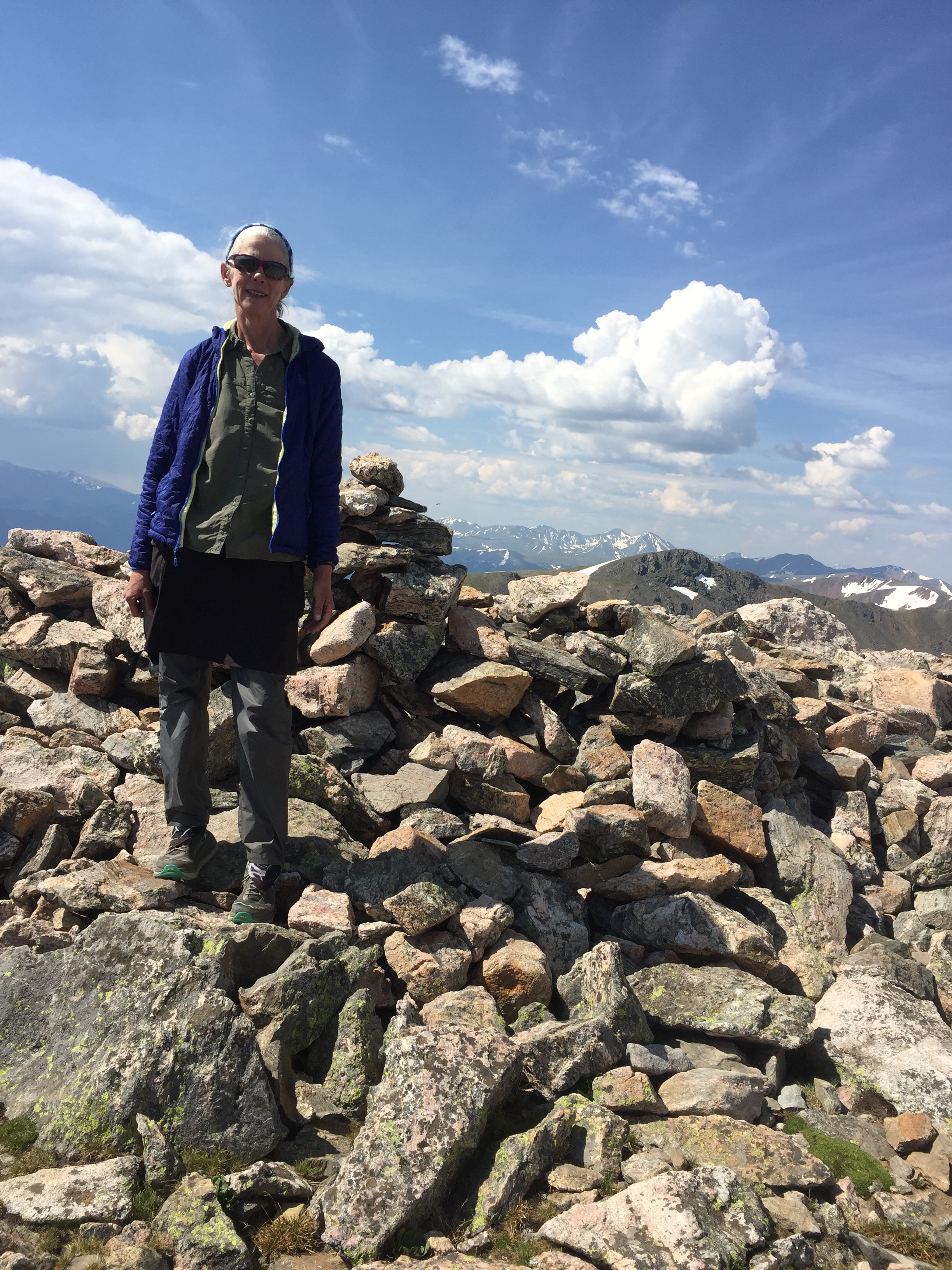
I got to Santa Fe after learning that the Indios Fire had shut down a portion of the CDT, collocated with the Northern New Mexico Loop (NNML) between Cuba and Ghost Ranch. If I started out of Santa Fe, I’d have to add the 31-mile reroute along 2 highways. I decided to start 155 miles in, at Ghost Ranch and found Kevin to shuttle me, stopping to pick up another couple going to Ghost Ranch along the way.
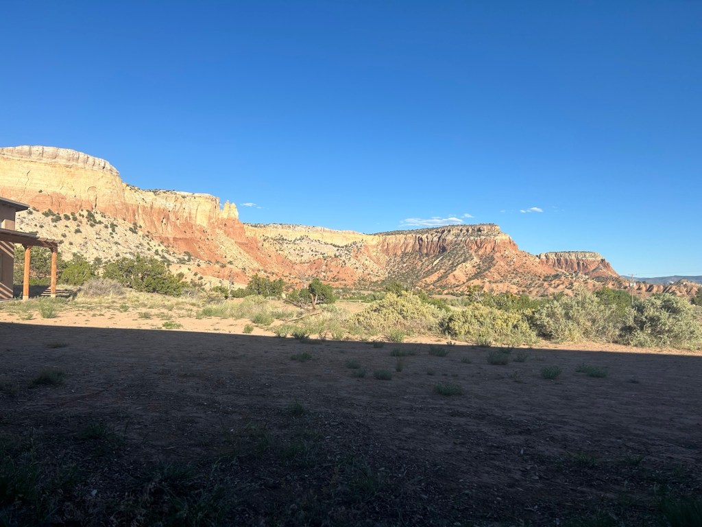
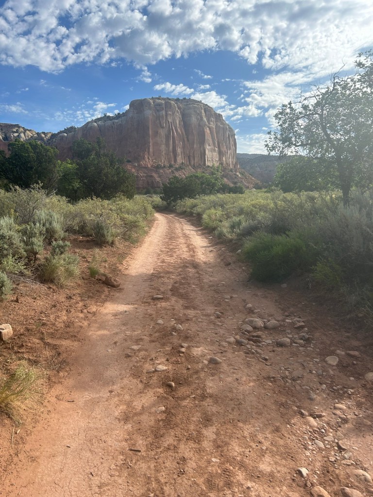
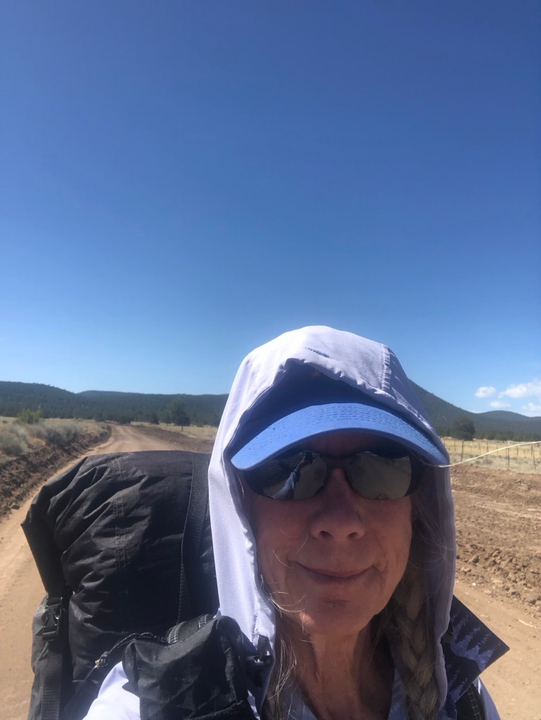
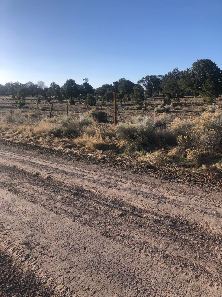
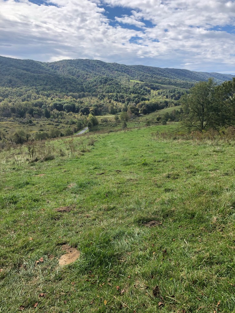
It was insanely hot at Ghost Ranch as I hiked uphill to the CDT. To get water for dry camping, I had to gently ask permission of the cows and calves crowded around the water tank. They gave me the look but let me fill my bottles and move along. You really need to be courteous and camp well away from their territory, scaring them away from their water could be a death sentence. I found a campsite uphill from the trail and as it got dark there was the usual single cow kind of yelling to find where the heck the herd was bedding down for the night.
A couple more nights on the CDT, but when the hail and lightening hit I camped early and inReach texted (Mitch) Tumbleweed Outfitters in Chama to pick me up from Hwy 64 the next afternoon. And it was cold in the morning, wore all my layers for hours. Got to Chama and it rained some more and all the next day. Yuck.
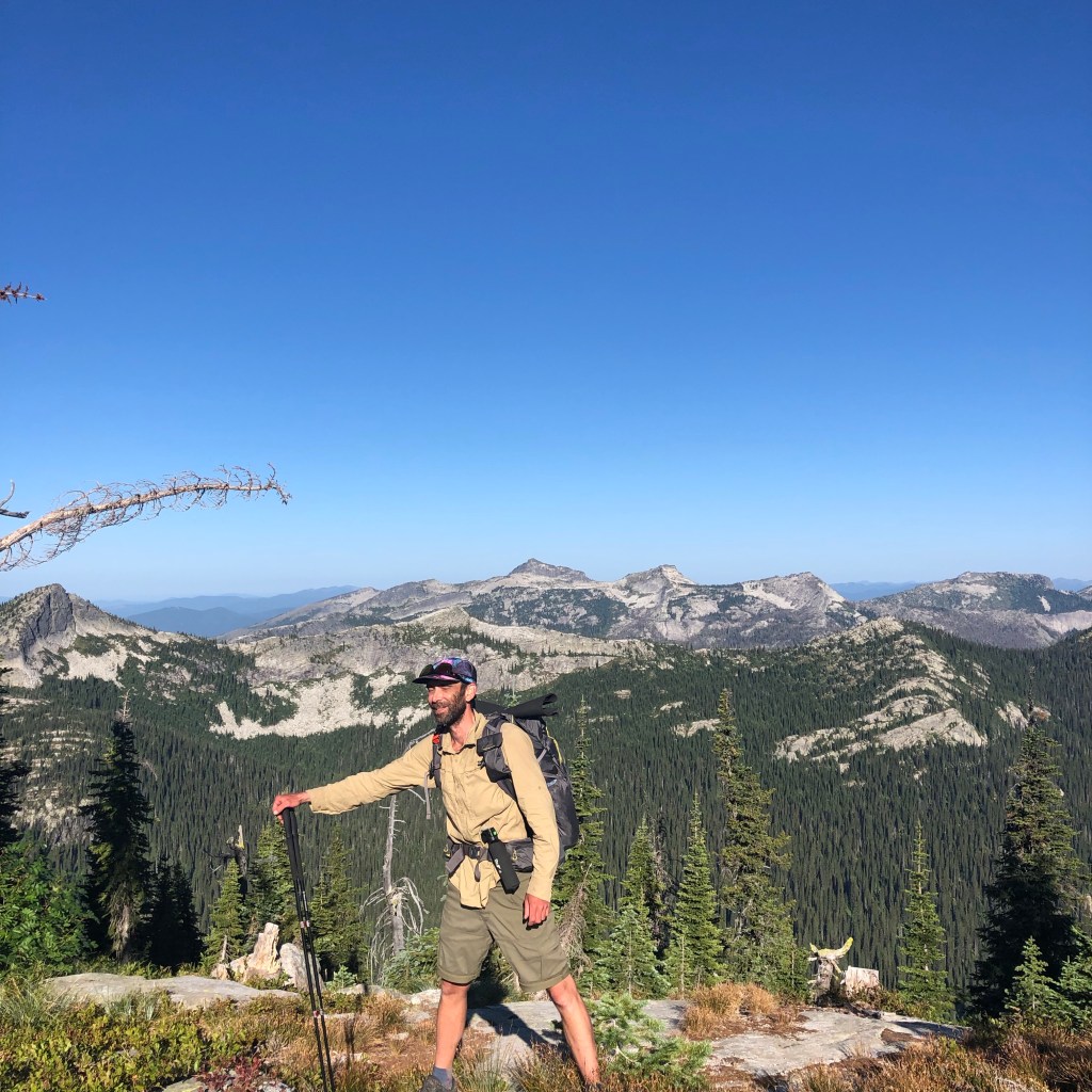
David Odell’s 1971 transcribed paper journal from the Continental Divide Trail (CDT) provides quite a contrast to my current experience. Rereading this Triple Crowner’s journal section for the New Mexico part of the CDT, as I hiked here, I was struck by how he had to navigate from maps to try to find routes that would have him hiking on the Continental Divide Trail (CDT). The official CDT, 50 years later, now seems oftentimes to be a long way from the geographic continental divide.
His paper journal from 1971 (!!) has been transcribed by his wife to Postholer. As have his 1970’s Appalachian Trail (AT) and Pacific Crest Trail (PCT) paper journals. I was backpacking since childhood but never had an inkling that people were walking for months on end from Mexico to Canada. Reading his journals, I can’t help thinking about what I was doing as he was spending months on a trail. “Fascinating,” as Mr. Spock would say.


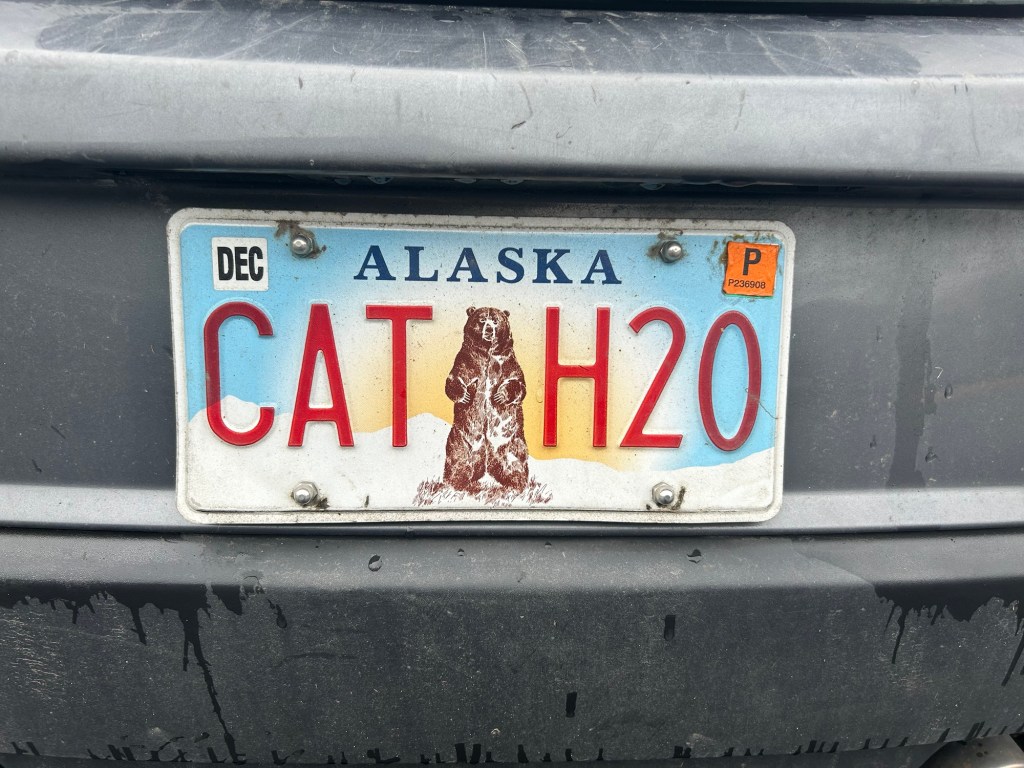
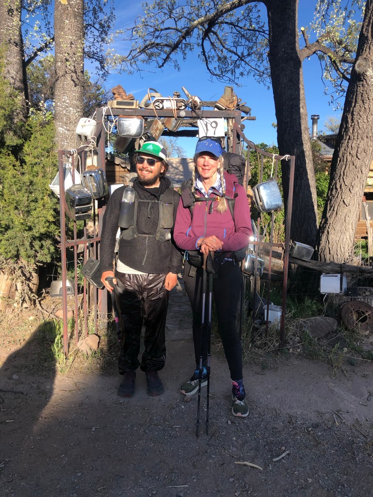
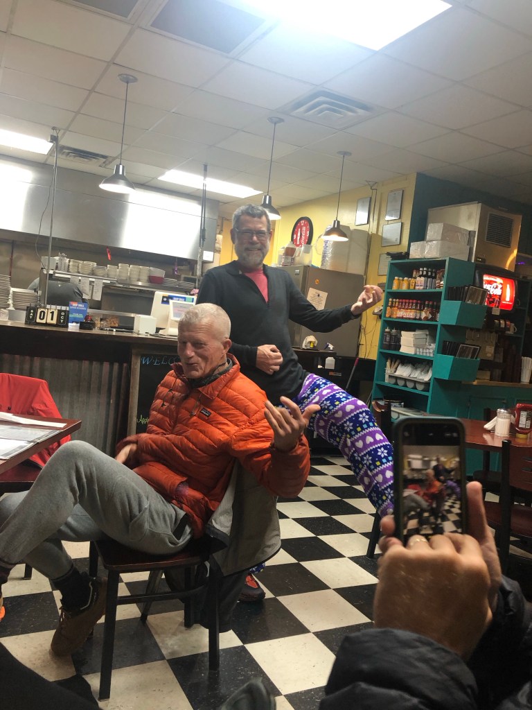
I bought a new fleece pullover made by Tumbleweed and mailed it home at the post office just across the street. And met Toe who knew some stories about Catwater from Puff Puff who hiked the AT with Toe!

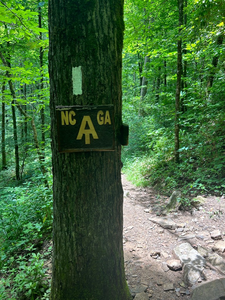
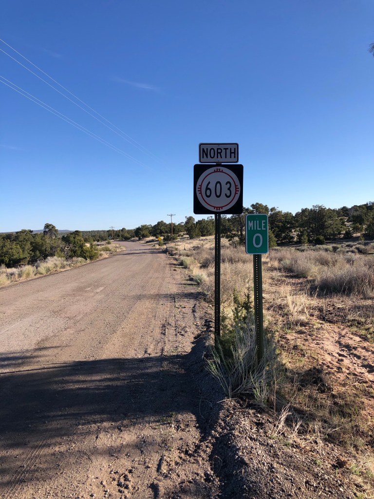
Chama to Questa
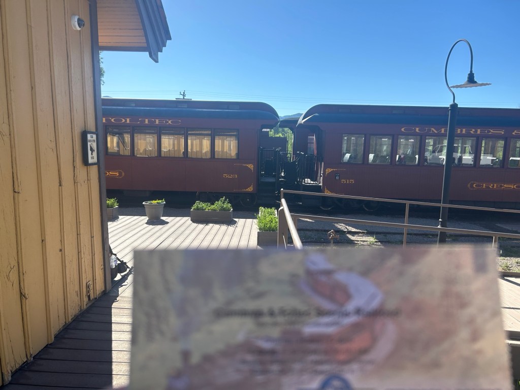
Fun time: I took the Cumbres and Toltec Scenic Railroad to Osier Station and started hiking at 1:30 pm. Every other passenger got back on the train after a yummy lunch. I walked 5 miles to the CDT, then decisions to make. The NNML goes cross-country (x-c) a ways down the trail, or I can make my own route via the CDT, dirt roads or x-c. I camped at 5 pm with 5 miles left to where I really had to decide how to hike to Questa, after wandering in circles a bit, which is stupid. Part of the challenge is using Gaia GPS with downloaded maps because I’ve just been using the FarOut trail app for so long.

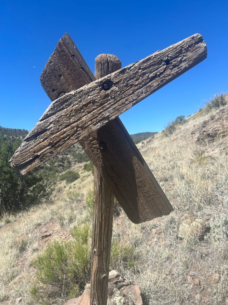
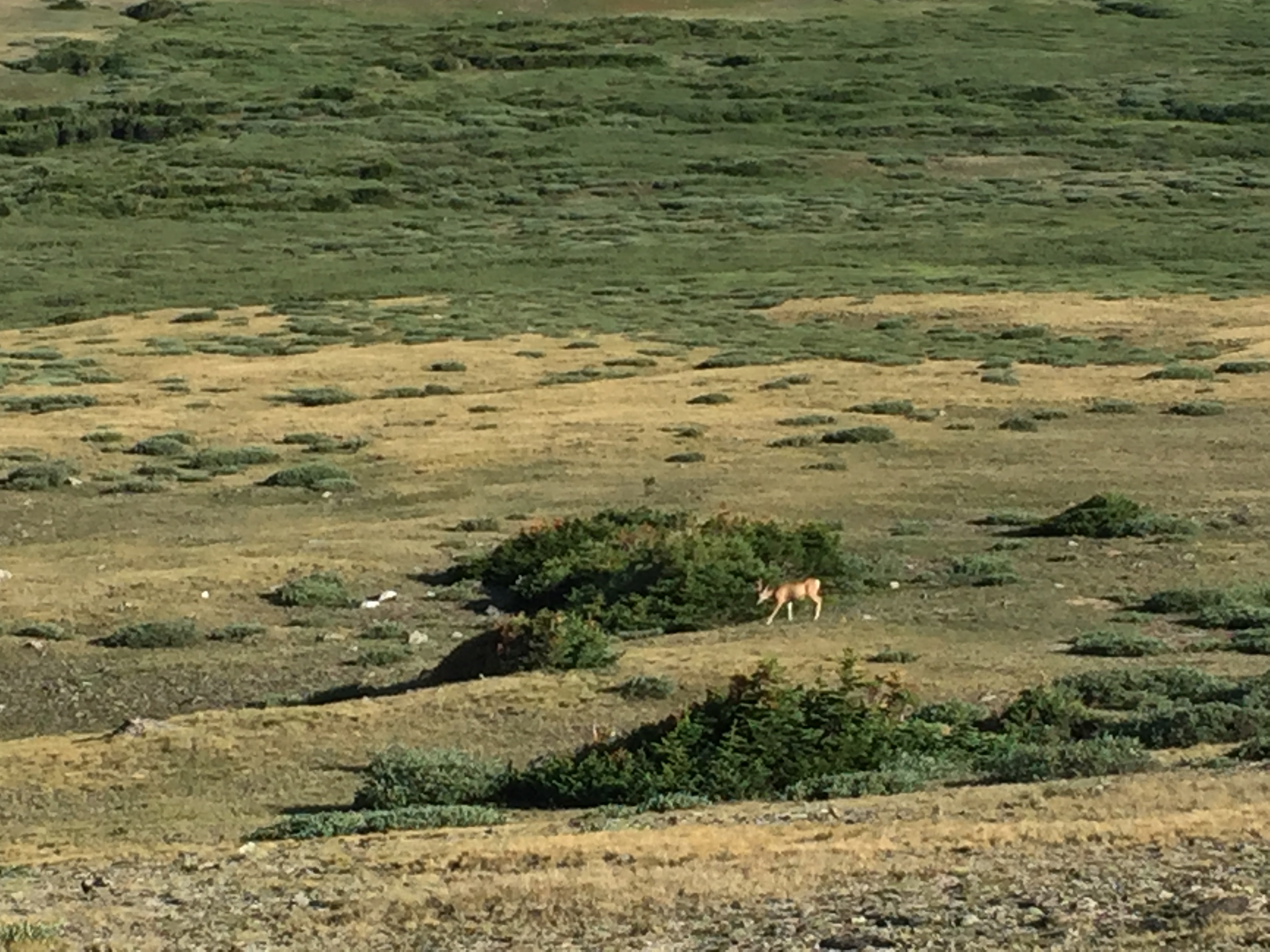
The next morning I walked 3.8 on the CDT to the Brazos overlook where the x-c began. I saw tons of elk! I sat and contemplated my options, searching FarOut maps and the Gaia maps. Nope, I decided to take the dirt road, Forest Route 87, that parallels the CDT to Lagunitas Campground. I’d connect in about 11.25 to the NNML. About half an hour into the road walk, “Bandit” on a bike comes my way and says “Old Timer” is right behind him. I saw him and yelled “OT!” Astonished, he hopped off his bike, we hugged and talked. OT was in the group I was hiking the CDT with in 2021 from Mexico to Grants, along with the Warrior Expedition guys. He asked me, as in 2021, if we could pray together. I look into his eyes, the kindest soul, this man. I told him how hiking with the veterans that year changed me. He unpinned a small cross decorated with the American flag colors and handed it to me. He had told bikepacking buddy Bandit he would run into somebody he knew on the trail. More hugs. He and Bandit rode on north, I hiked south.

And I continued, realizing I have made my own alternate to the NNML, quite happy with it too.
My campsite after 18.2 miles was cool and quiet, with mini worms dropping on my tent. No cows around, but I heard an annoyed elk walk by.
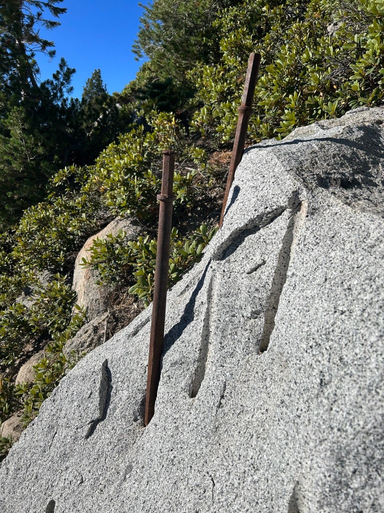
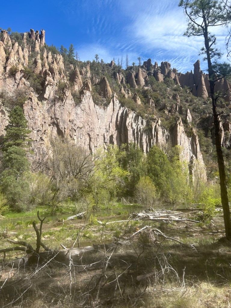
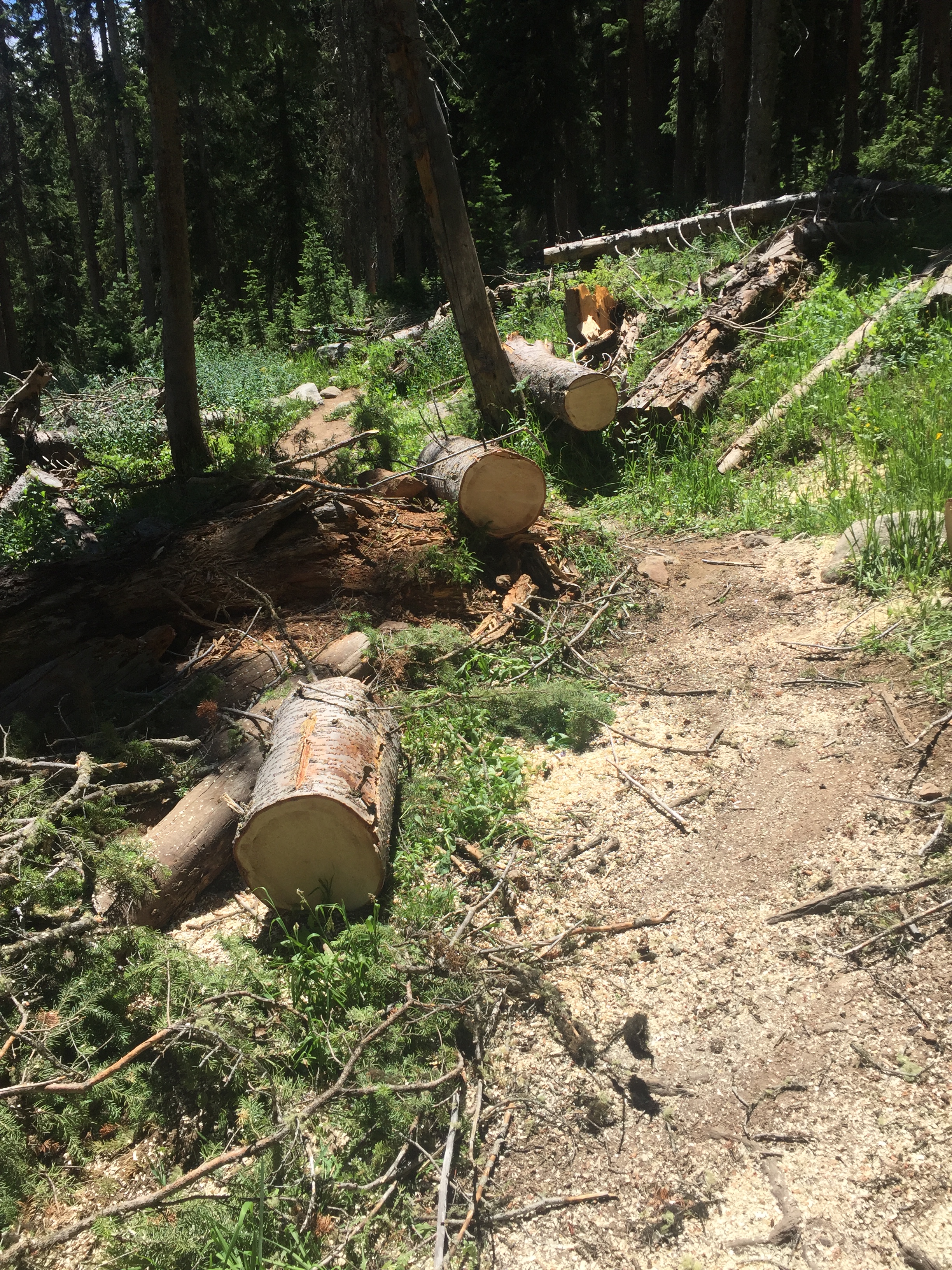
The next morning, it was a short walk along trail back to FR 87 which I opted to stay on till Hwy 128 and then to “unimproved road”. I didn’t want to spend time bushwhacking (x-c), especially up higher when the wind is already ferocious and it looks like rain. I did use my brain to walk way off the road to the Rio access to get 5 liters of water to get me through a long waterless stretch. Old barbed wire fence that I had to go under, the bottom wire was barbed so I have a couple more scars in development. The barbed wire they’ve got further south in New Mexico has the unbarbed bottom wire that’s much easier to snake under. It poured rain for about half of the day’s 19 miles, but the footing was easy.

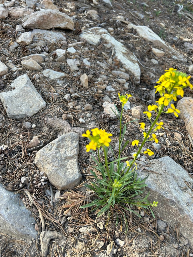
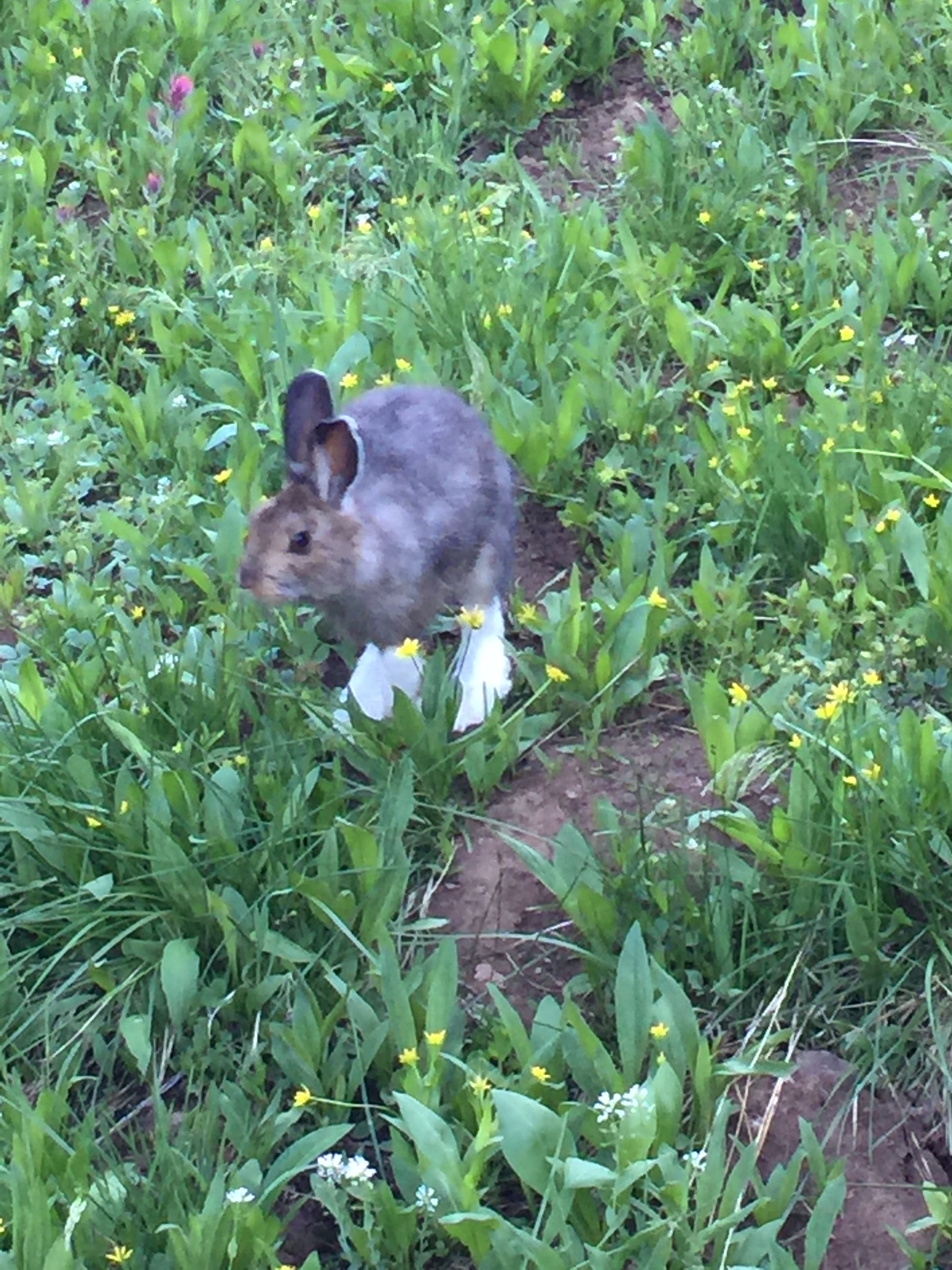
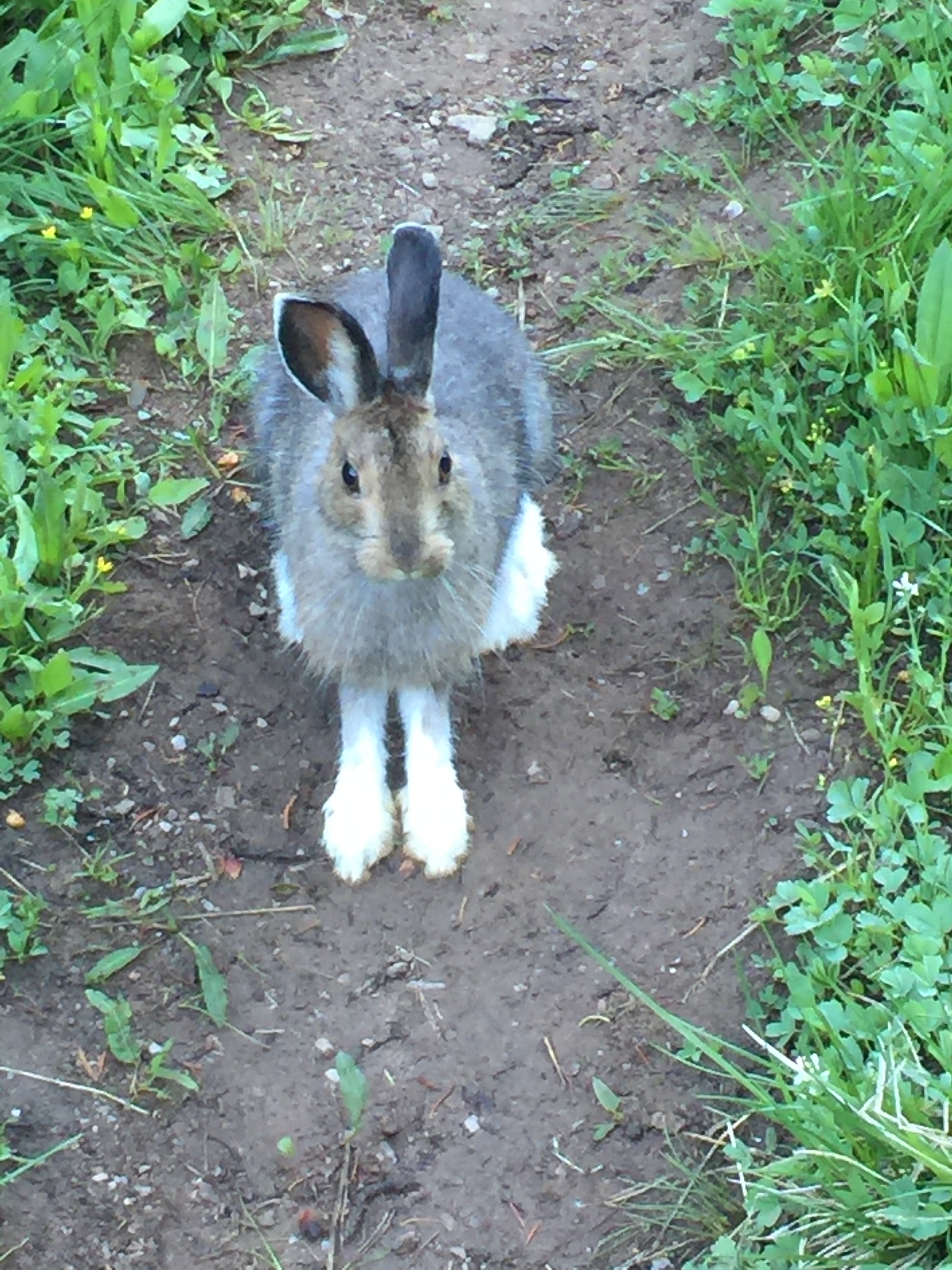
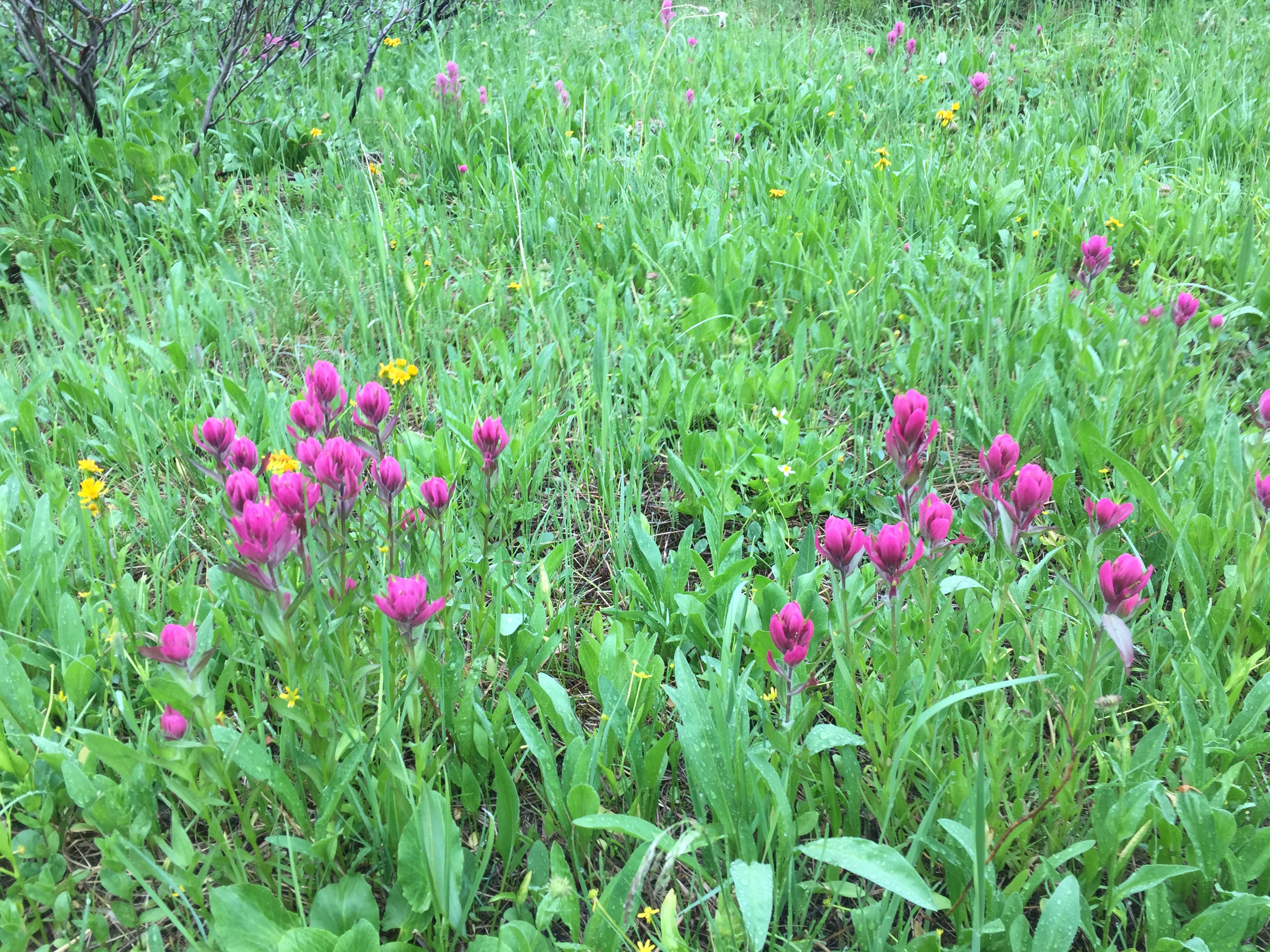
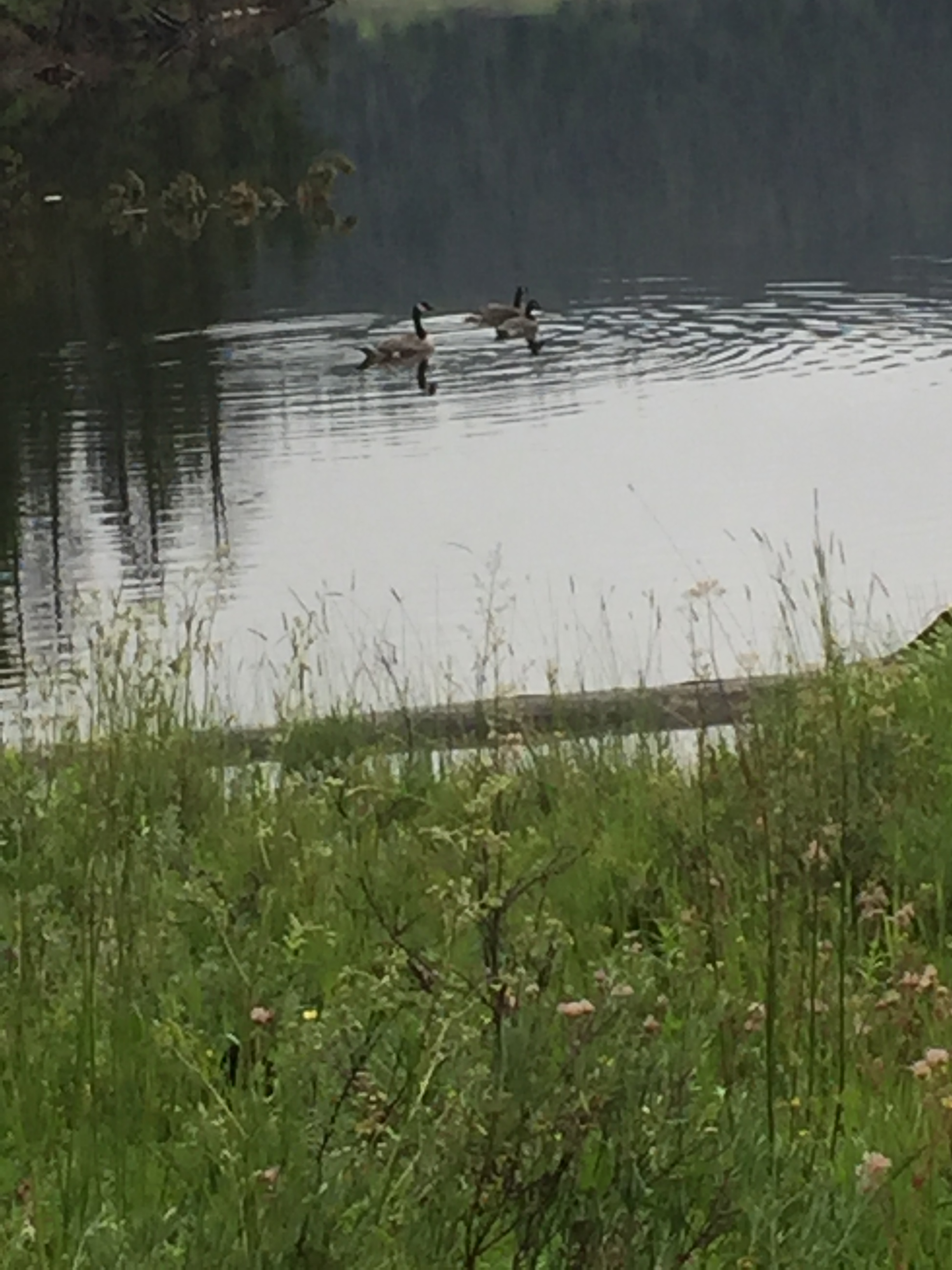
Back to the NNML, I navigated x-c across miles of beautiful sage covered open country. The surface was sandy silt, no shade, slow. I rolled my ankle a bit, it’s fine. Really glad I know basic navigation and had hauled those 5 liters of water yesterday. I finally got to a stock tank about 4 pm? Cows were curled up like kittens, maybe 2 dozen. They freaked and ran for the hills. I grabbed 3 liters and left, treated it once I was out of sight, poor cows didn’t do the usual paparazzi thing, where they stop and stare at me like they’ve been waiting for hours for such a sight. I camped behind some sagebrush, they smell so good!


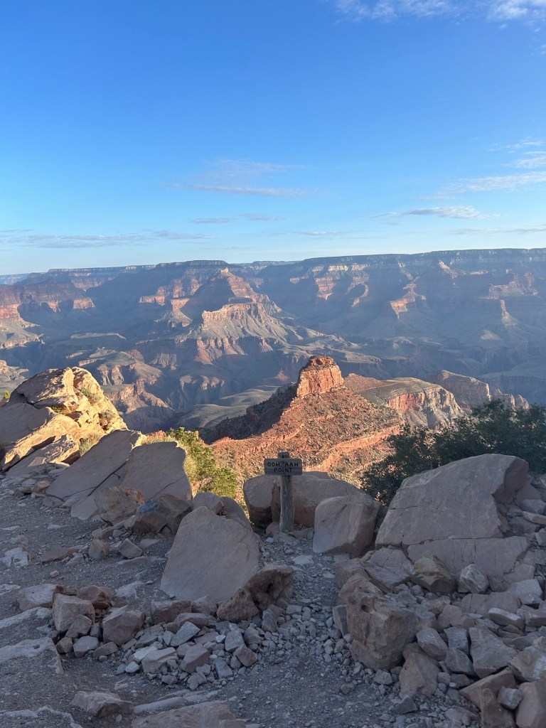
Whoa. The Rio Grande Gorge at Sheepherder’s Crossing, an historic trail used by sheep herders in the past. I tried to ford, pack unstrapped, but retreated when the water went to my pits. I walked upstream and fell in the river when I slipped on a mud slimed rock, my right hip will have a gigantic bruise, it hurts. I went a bit more upstream, keeping my waist belt cinched. I stepped in and floated, my pack floated too, it was just a short way to the opposite shore, so I went with it, holding my sticks in one hand and rolling to my side and back as I drifted downstream, kicking to the opposite shore. It worked, I’m clean. I only lost my sunglasses. The water was warm, my inReach and phone and most everything else in dry bags survived too. Thanks OT for the prayers.
I climbed up to a paved road with a picnic area, dripping wet, where a couple of tourists didn’t know what to make of me before driving on to their next adventure. About 30” later, walking dirt roads, a nice guy in a beat up pickup truck stopped to say he’d been looking for 6 cows with calves that they missed during the roundup. Had I seen them? I said I’d keep my eyes open but where in Questa should I report if I did see them? The family store. A few hours later, the same guy saw me crossing the paved highway at the light 1/2 mile down the 322 from the RV Park where I’d reserved a cabin for 2 nights. He pulled over just to chat—so nice! I told him I’d seen cow patties a couple days old, but no stray cows. It reminds me of that one feral cow drinking out of the lake as you climb out of the Gila River for the last time down south.
Lovely, quiet, comfy at the cabin for 2 nights. Got groceries, did laundry, logistics, the usual stuff.
Questa to Red River
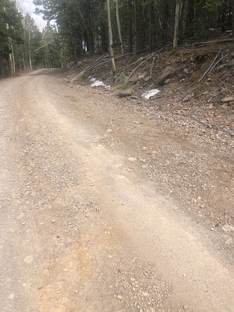
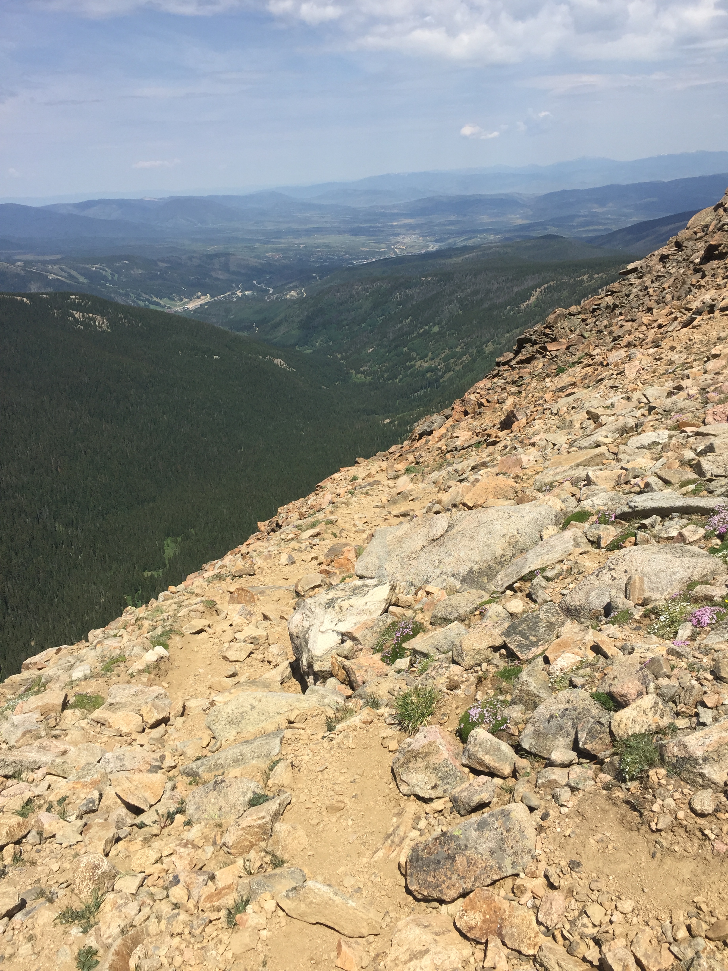
I cut out all the extra miles as I had decided on my zero day. I thought maybe the trail alt in the Gaia maps or a forest service road would get me to Red River. I walked out of Questa (home of Taos Bakes!) on Cabestros, instead of the paved highway I came in on, ignoring the written information about loose dogs. From there I followed “the blue line” from the mapped route which was excellent Forest Service gravel. I got to the trail/water junction and grabbed 5 liters since I had absolutely no idea where or if the water would be. I’m climbing up the forested mountains, no more cow country. I checked out the trail—it was skinny with loose rocks and reputedly steep, so I turned back and continued on FS 497 which, yes, was uphill too for the next 7 hours. But well graded, I’m happy with my decision! Lots of OHVs or 4x4s, whatever they call them here, tourist fun. On the “back” of her “out-and-back” from Red River, a lady stopped to tell me, “You’re impressive”. Nice! I could have walked into Red River, but I’m saving $200 by camping on a bluff hidden from the road with a gorgeous view. I’m 2.8 miles away from my reservation at the Best Western (BW) tomorrow.
I laid around my tent the next morning, waiting for post office hours so I could get my next resupply box. I got there, but nobody was working. I asked 2 locals checking their post office boxes for their mail, they had no idea why nobody was working. I went back to the BW, googled, and found out it was a federal holiday, Juneteenth! Not a sign or banner or anything in this town. I’ll get my box in the morning, not a problem. Meanwhile Taos Outfitters had what I needed—replacement sunglasses for the ones the Rio Grande got, a Patagonia sun hoody and fuel. The bruise on my hip is massive and my gripping-my-way-out-of-the-river arm is still sore, 4 days later.
Red River to Taos to Santa Fe
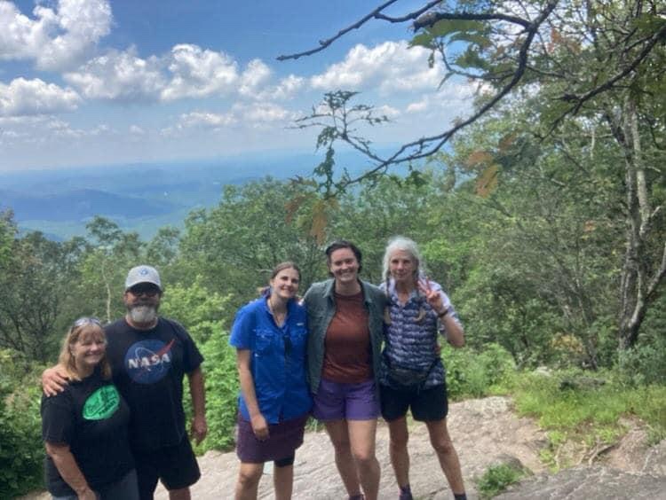
And I needed to go back to Alaska in a few weeks so I planned and replanned and I still had a week I could hike but buses don’t go between the places I wanted them and everyplace doesn’t have shuttle drivers like the AT, etc. I got a ride to Taos where I got a bus to Santa Fe and a shuttle to the airport and I flew out, after touristing around a bit. I really want to come back and see more of northern New Mexico. Meanwhile Anchorage and Fairbanks and back to the Sierra. It’s so complicated not thru hiking. Thru hiking you tell everybody you’re busy and you follow a trail for months, point A to B. Not thru hiking makes everybody wonder Where in the World is Catwater.


