I had to come up with a plan to save my mind. I want to hike through passes, not 3000′ up to the tippy top of a peak and down, steep down, to the bottom of the crotch between peaks. Passes not peaks! Kinda out of luck on that issue. My slow pace both up and down meant for low mileage days, self doubt and it-is-what-it-is anger.
So I took a hard look at the elevation profile for the next stretch and made a plan. Less planned miles on some days, more on others. It worked!
7/9 I hiked up whatever peak it is north of Berthoud Pass parking lot and down the equally steep other side loaded with snow patches, talus and bugs, then up a traverse that wound around a hillside, then down a nicely engineered and constructed set of steep switchbacks (47 of them?) to a dirt road teaming with ATVs, trucks driven by unsmiling men, and boys cautiously riding dirt bikes. There was a campground of sorts, which a hiker somewhere ahead of me had noted in the comments for Guthook’s app for this area. The first site, near the road, was a little creepy.

Nobody was camped anywhere but I walked back through the trees until I was out of sight from the road. A perfect quiet spot in the rain. Tomorrow James Peak first thing.
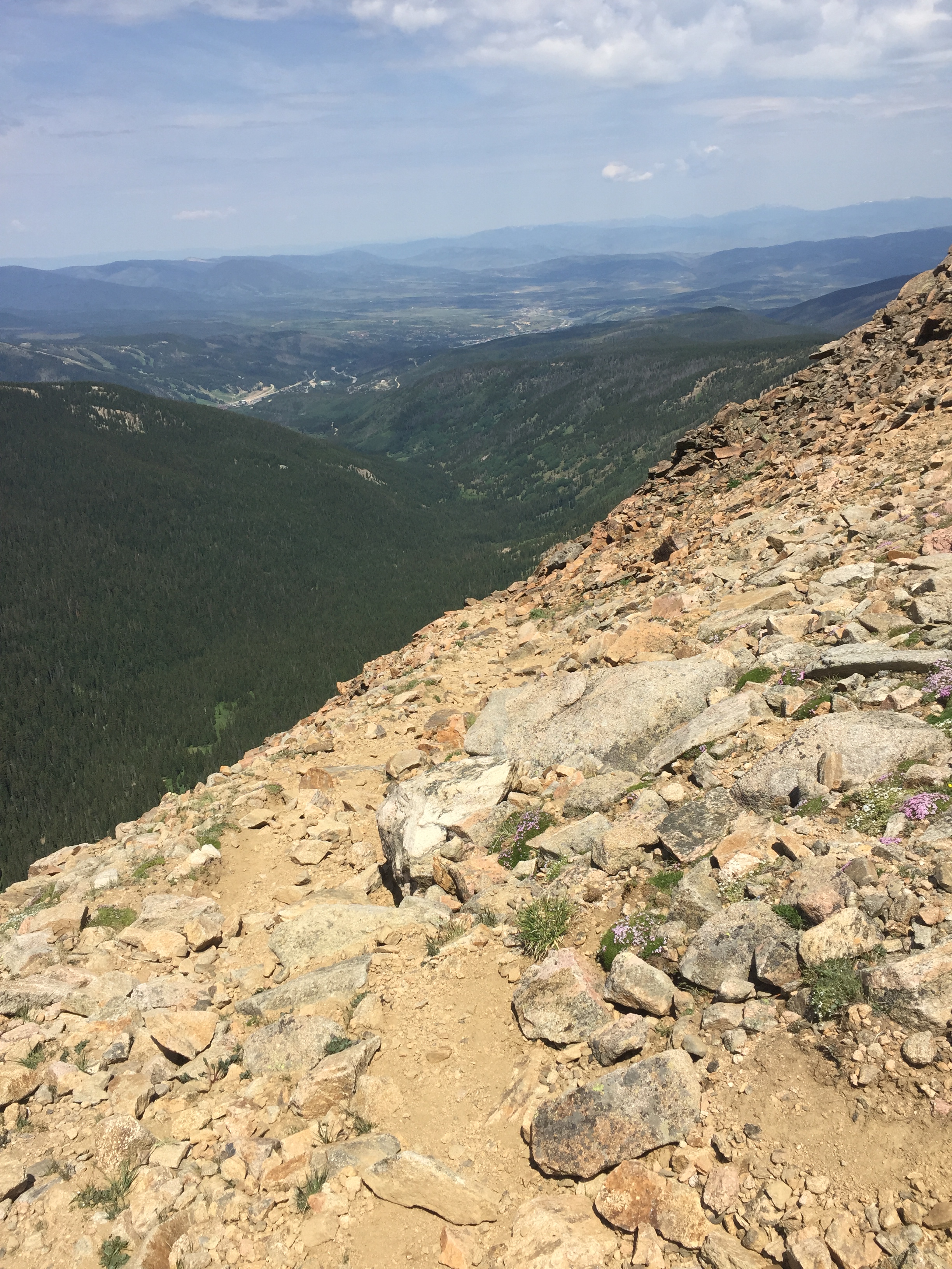
7/10 I was hiking early in longies and jacket. Took about 4 hours to make it to the top. I was passed by 2 thrus, 3 day hikers,then another pair of day hikers. At the top there is of course a giant switchback going down. I slipped and fell twice on the loose gravel and rock, taking a little chunk out of my hand and dripping blood on my hiking stick. The trail continued with a traverse through scree on the side of a ridge then came to a trail junction, with a perfectly good trail leading away to a road. I knew I should have taken it. Next time I will check my other maps and not go blindly where the Guthook/Bear Creek tells me. The “untrail” official CDT went along a ridge, cairn to cairn, on tussocks and talus. Who decides on the “official” route? A committee? An agency? The CDTC? Why would you send hikers on unspoiled tundra when an existing trammeled trail is nearby? After awhile I did check my other maps and bushwhacked down to a road below, CR 80. I yelled to my wildlife buddies as I went, telling the sheep, moose, elk, bear and all the other animals I could think of how much I appreciated them not popping out of the brush and surprising me. The road walk uphill was great and apparently normal because the jeeps didn’t stop to ask if I was lost or OK. I rejoined the CDT at 3:30 with 3 short climbs and traverses in the alpine wind and cold and bits of rain until finally a steep down to trees and water. I was less worried today being exposed at 12,000′ 3:30-6:00 pm–the grumbling of thunder and the cloud mass was mostly behind me.


Some days your mind just goes into a loop trying to resolve unresolvable issues. When you create an official route on ground that doesn’t have any kind of previous impact–not a game trail, not a social trail–not only are you encouraging environmental impacts, you are putting hikers at greater risk for injury which would potentially require Search and Rescue (SAR) response. Who makes these decisions? Another issue that bugs me: Wilderness economics. There is so little money for wilderness restoration, trail construction and trail maintenance. But when trail conditions are crummy, the odds of hiker injury and rescue goes up. SAR is a different pot of money, also underfunded, than wilderness management. Yes, we are in the wilderness at our own risk, but where there is trail, there is responsibility, both for trail maintenance, environmental protection and human safety. And it all goes together but it’s all separated by jurisdictions and funding. I do my best to leave no trace and to diminish personal risk, but still, bad stuff happens to good people all the time. And we need more people doing stuff outside and in the wilderness partly because healthy and happy people are cheaper. Oh shut up Catwater, just hike.
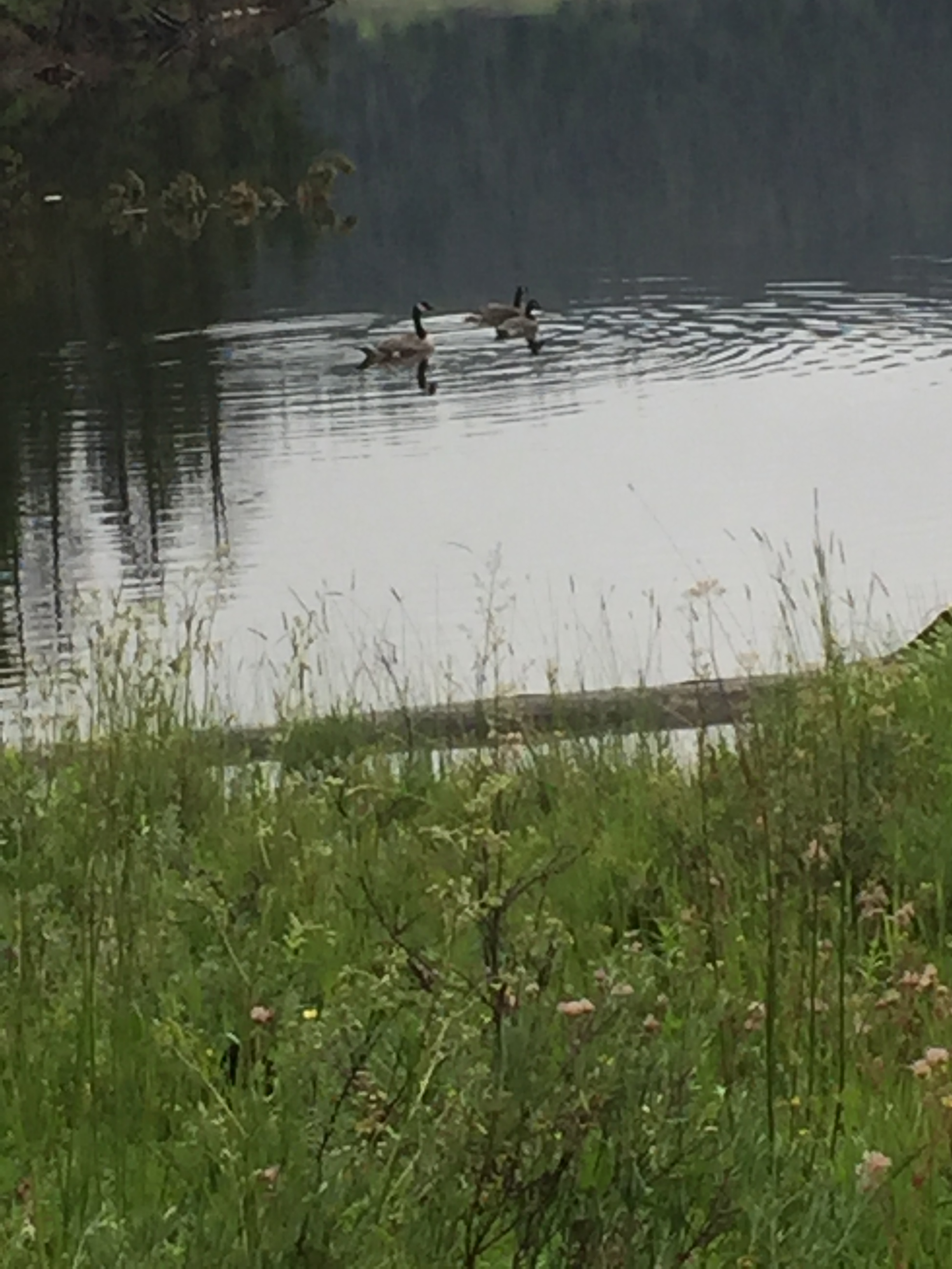
7/11 It was a lovely campsite. It rained hard 6:30-9:30, then off and on all night. When I crawled out of my tent in the morning, I was greeted by a moose grazing in the lush grass across a meadow. Today was gray but I was happy to be going downhill or level most of the day, caught in the green tunnel and listening to the interminable American Gods. I saw a second moose and about 4 miles in, thanks to a heads up by a day hiker, a herd of 10-20 elk.

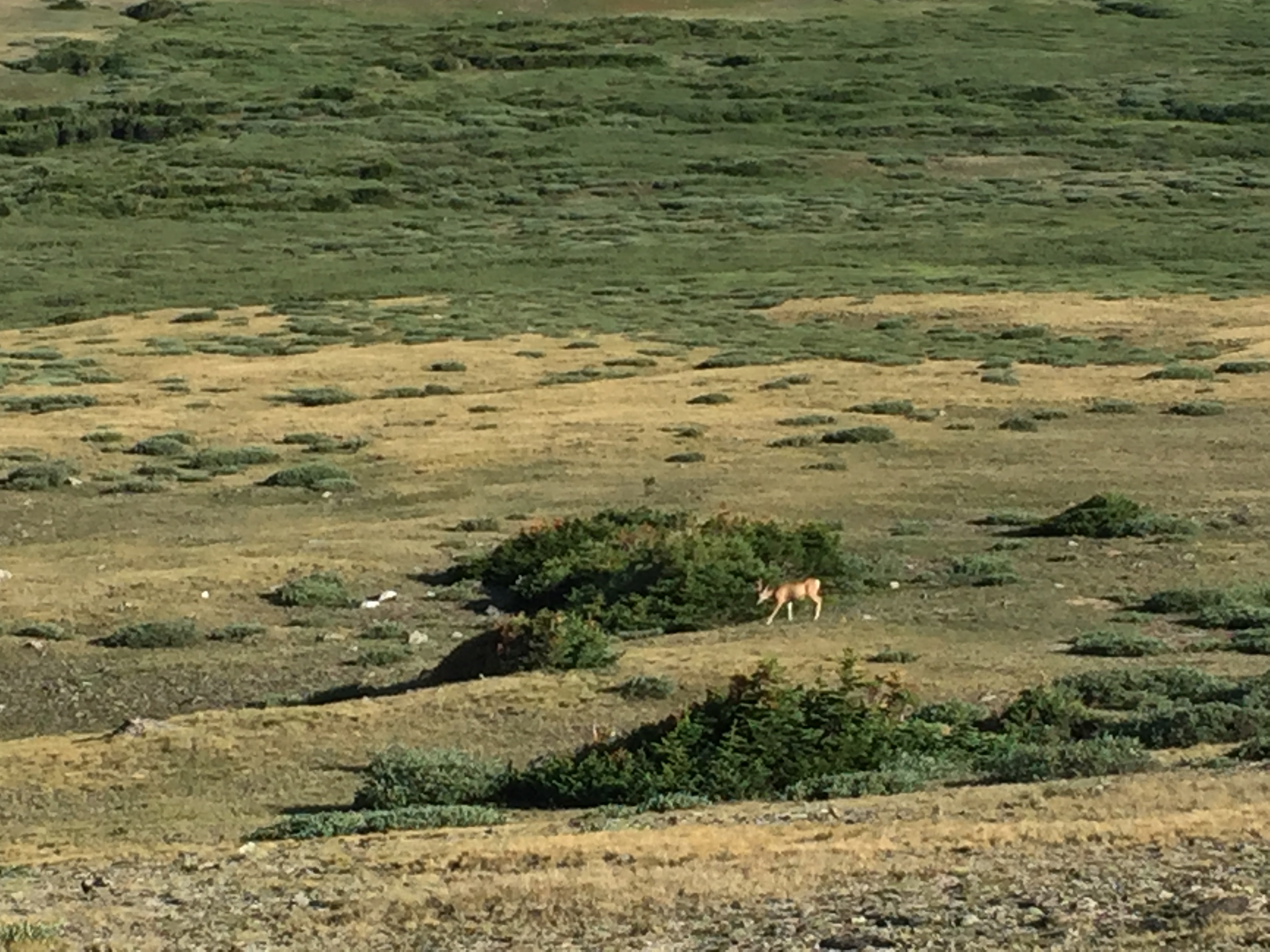
Then I startled a beautiful deer, palomino colored tail showing off her darker self and huge mule ears. She sproinged off through the trees and meadow. No intense climbs today and as I’ve learned to appreciate road walks, so too do I appreciate plodding through the murky trees, not the windy alpine. I made my 20 miles, the first in a long time, although finding a tent site was a miracle. The trail along the lakes has very few flat spots, what few there are have wads of deadfall and rocks. But I made do. I’m camped on a rock I’ve padded with my jacket and the rain is pouring down. Just a few hours to Grand Lake. What crazy slow stuff will the trail throw at me tomorrow?
7/12 Rain. Rained all night. Rained lightly all morning. But I’m at such low elevation that I wasn’t cold. The trail is overgrown so I wore my rain pants till I hit civilization hours into the day. The trail wasn’t so bad today, wet but NO wind, NO cold, NO elevation, AND I was going to be indoors for the night. I stopped by the post office and picked up my box. New shoes! New insoles! Laundromat, groceries, fuel tomorrow. I really should just drive town to town and forget about this hiking thing.


The Campsite before James Peak: QuickSilver, Apache and I camped right there, we found the chairs in the bushes and Apache put them right next to the fire pit. Sorry for creeping you out😂
LikeLike
That is funny! You all set up a great tableau, a little empty theatre in the wilderness, with ghostly campers hovering around ready to roast marshmallows. Well done guys!
LikeLiked by 1 person
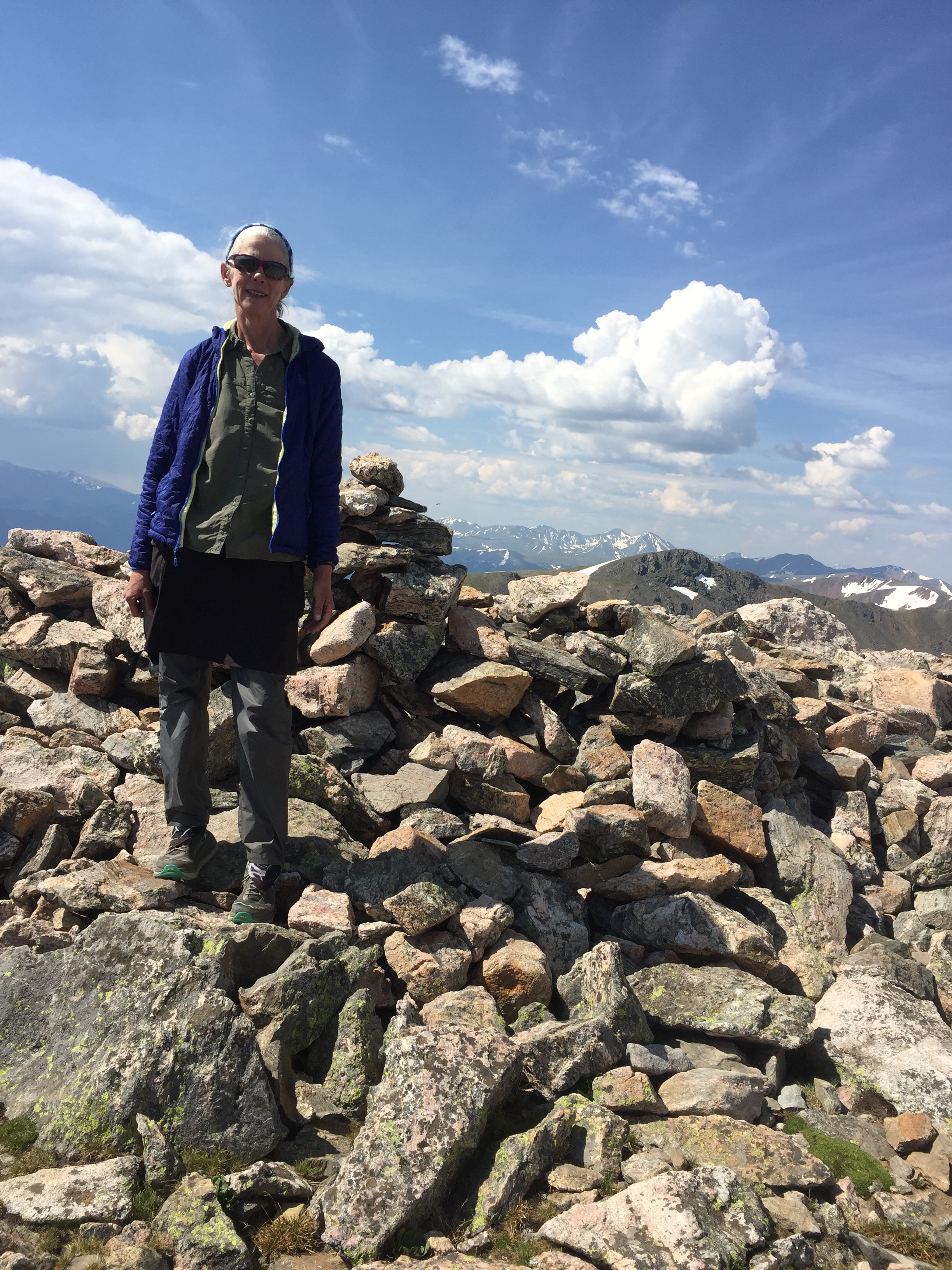
Really like the post and photos!
LikeLike
Good for you for dropping down to the road CR80. I remember that section between James Peak and Rollins Pass was the slowest section of the entire CDT (for me), except maybe the Gila River.
Enjoy the rest of Colorado – Never Summer wilderness, Parkview Mt, Mt Zirkel – it goes by too fast!
-Recon
LikeLike