


Dogwater, my sister, drove us from Mammoth to Tuolumne Meadows after a wonderful triple zero with food, beer and friends Joan, Noreen and Vicky.
It snowed all day on us as we went over Donahue and I was constantly ready to turn back if it got bad. Risk assessment. Just a light snow with little accumulatio however. Puff Puff had a bad day but subtly let me know she’d rather follow my tracks than lead as she mostly does because she’s quicker than me. So I plodded up Donahue paying attention to where we could camp if we needed to get out of the snow and cold in a hurry. I feel like I know this country well since I’ve spent so much time on the JMT. Below freezing that night but out of the snow.
Day 2 we made it to Reds Meadow, shut for the season, and camped by the river, woke up to frost covering our tents and the water in our bottles frozen. I was bummed and full of doubt and dread of the brutal hard days ahead. I told Puff Puff I would hike the 2 days to VVR but if it stayed so cold, I’d pick up my resupply, back track to Reds, find a ride back to my beloved Mammoth and skip the High Sierra. We have had an understanding, an agreement, that we’d hike the Sierra together so I felt torn, but I was dreading 20 mile days at altitude in the cold with so much up and down on a trail I’ve been on twice in each direction in the last 3 seasons. Why do this if it I hate it?
Day 3 we hiked 18 miles to Tulley Hole where we camped with Decaf (check his fundraising site at James Trafford, amazing guy from England living in Australia) and Melissa from Quebec, and I realized no way I’m hiking back down to that hole again, so up and over glorious Silver Pass and into VVR with a proper attitude reset. Puff Puff stayed on trail to avoid the additional 8 miles, while I camped at VVR and enjoyed a bonfire with SOBOs Decaf, Broken Toe, Melissa, Whiskey Nicky and 4 other hikers on the JMT.
Day 4 we went over Selden to Sallie Keyes Lake and the weather was warm and I have so many good memories of this area.
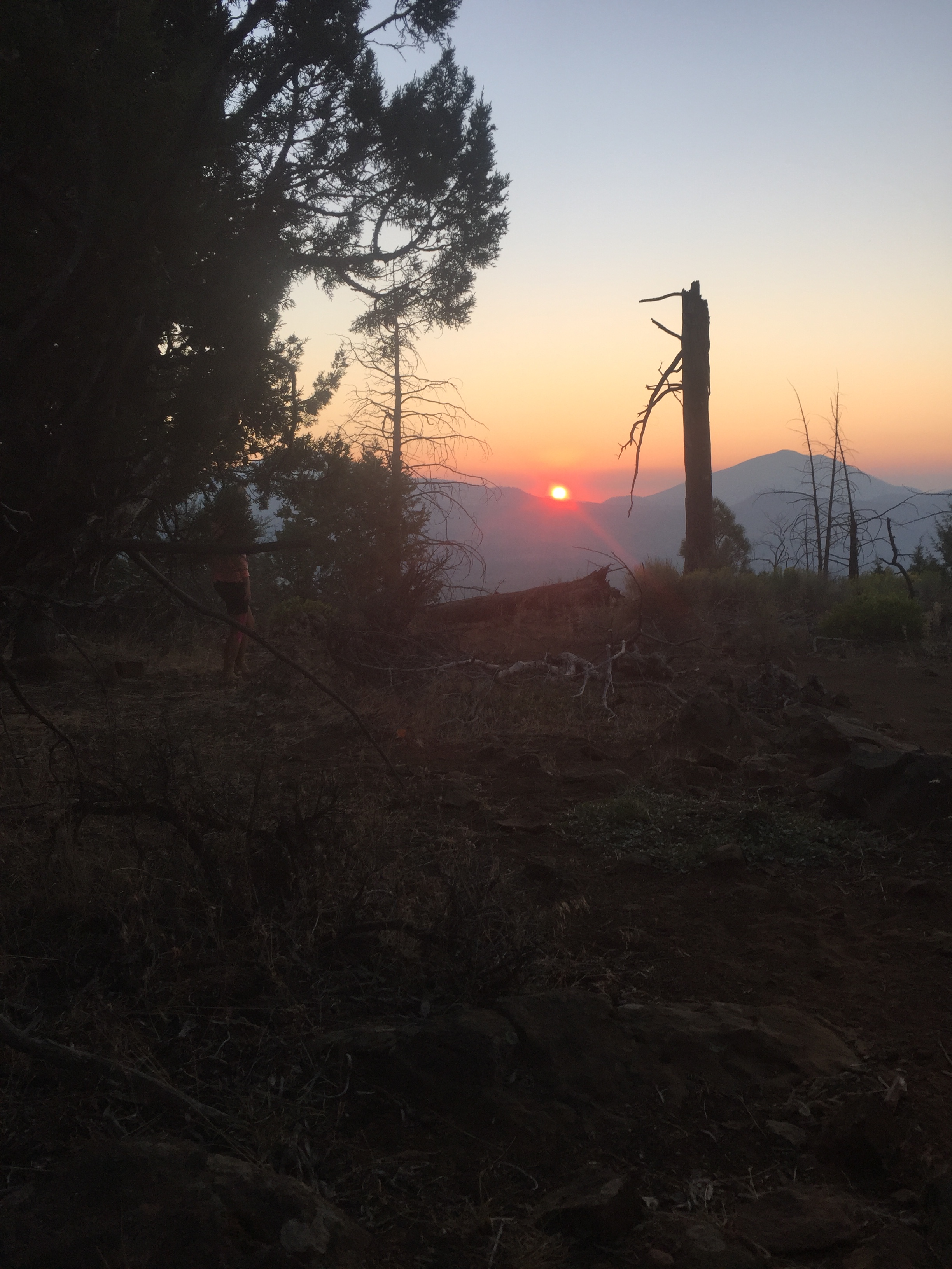
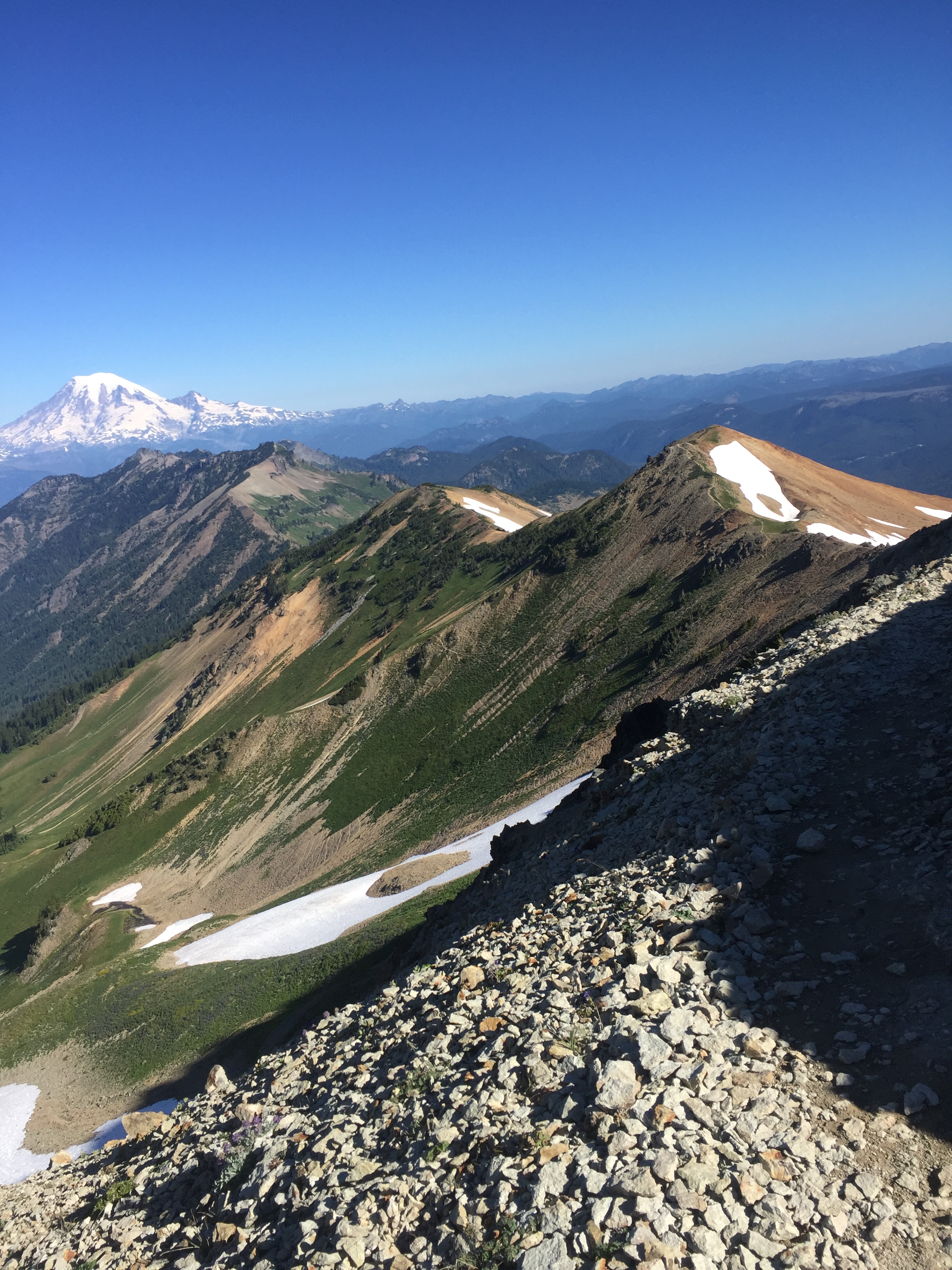
Day 5 we made it part way up Muir Pass to Evolution Lake and we camped alone and it was one of the two most beautiful spots on earth, the other being Dzongri, Sikkim in India. I could feel my father’s soul, I know he hiked here in the 1950’s, and all humans who love this earth, who love life were swirling around me in one endless clear breath of moonshine and granite.
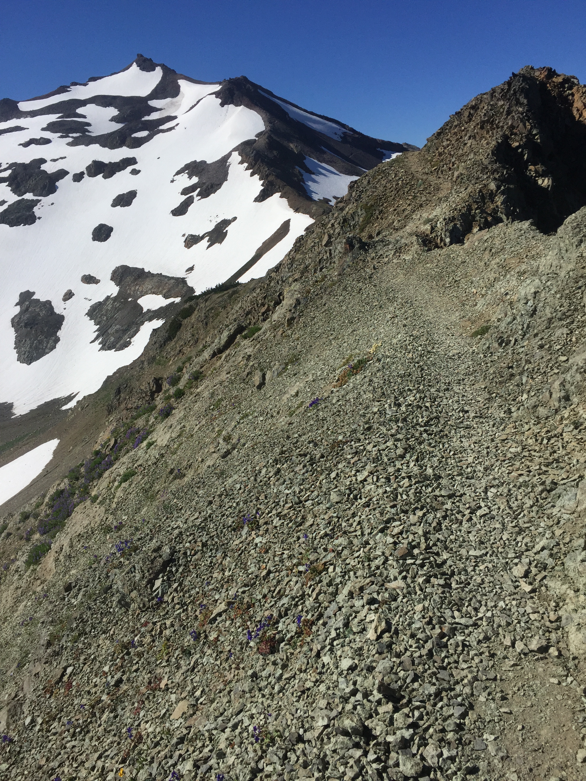
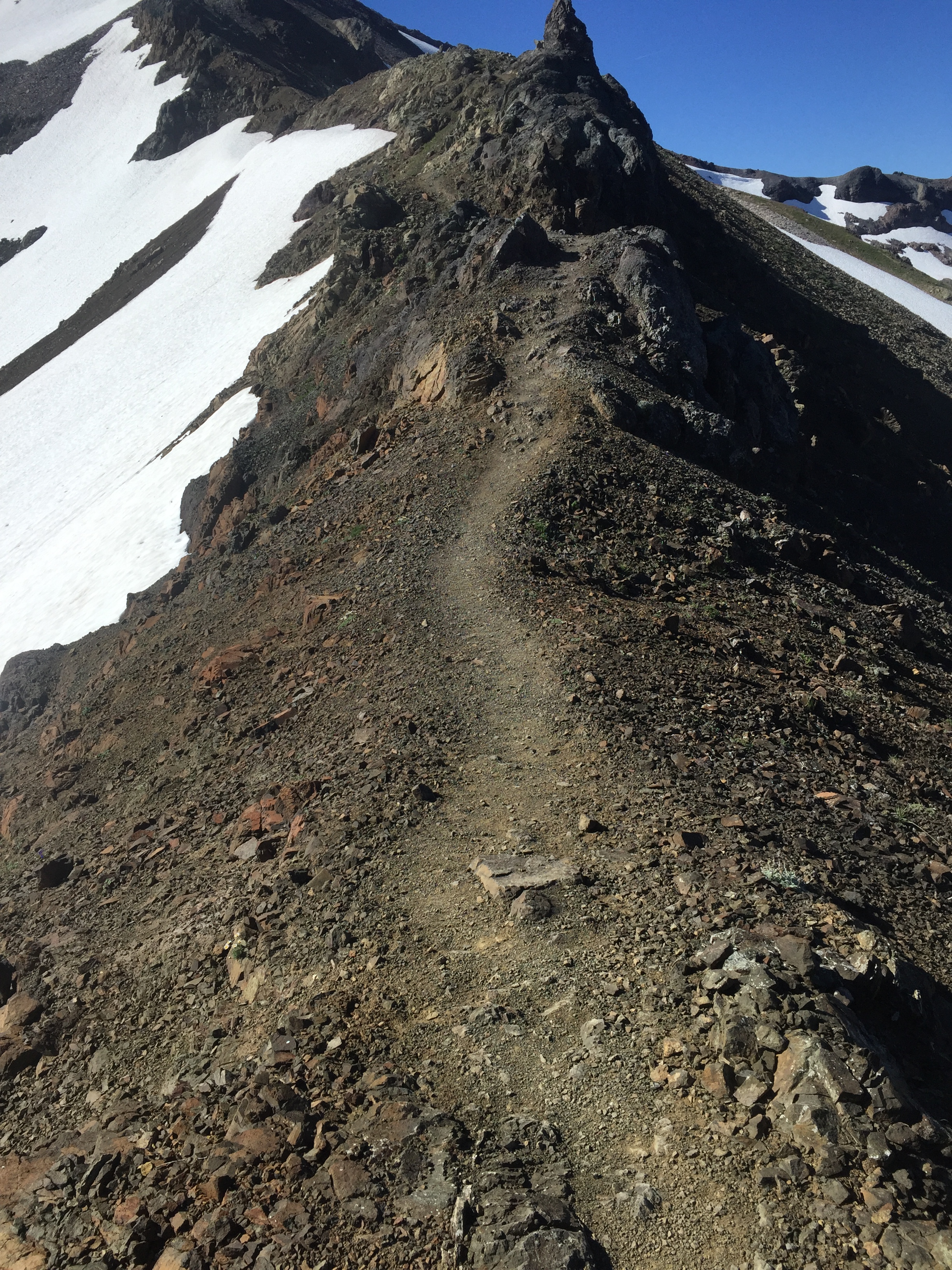
Day 6, we climbed Muir Pass, no snow. After a 22 mile day, we crawled into our tents part way up Mather Pass. Puff Puff saw her first coyote as the sun faded in the canyon. Somehow I strained my ankle a few miles from the end and it hurt and swole up but based on last year’s experience I knew it would be good to walk on the next morning. Ibuprofen is my constant companion.
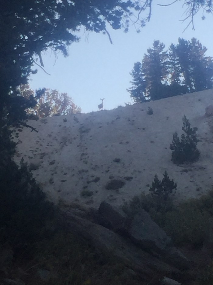
Day 7, we pushed another 22 over Mather and Pinchot passes, stumbling to camp in dusk and deer. These mountains are incredible, but the miles are hard nonetheless.
Day 8, 22 over Glen and Kearsarge to friend Strider going above and beyond as a business owner picking us up at Onion Valley at 6:30 pm and whisking us to 72* at her Mt Williamson Motel in Independence. She gifted us with Strider (from Lord of the rings!) necklaces, sterling and Svorski crystal hearts that she designed and has made for women hikers.
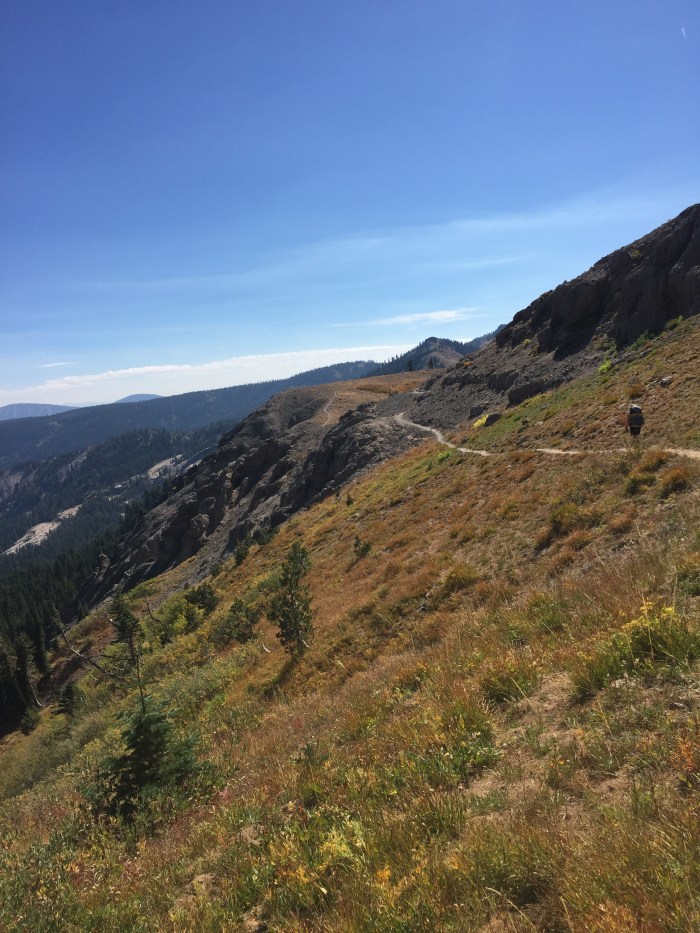
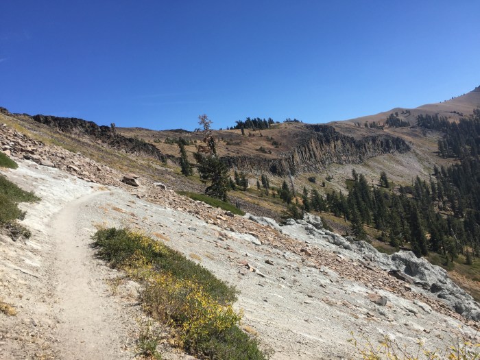
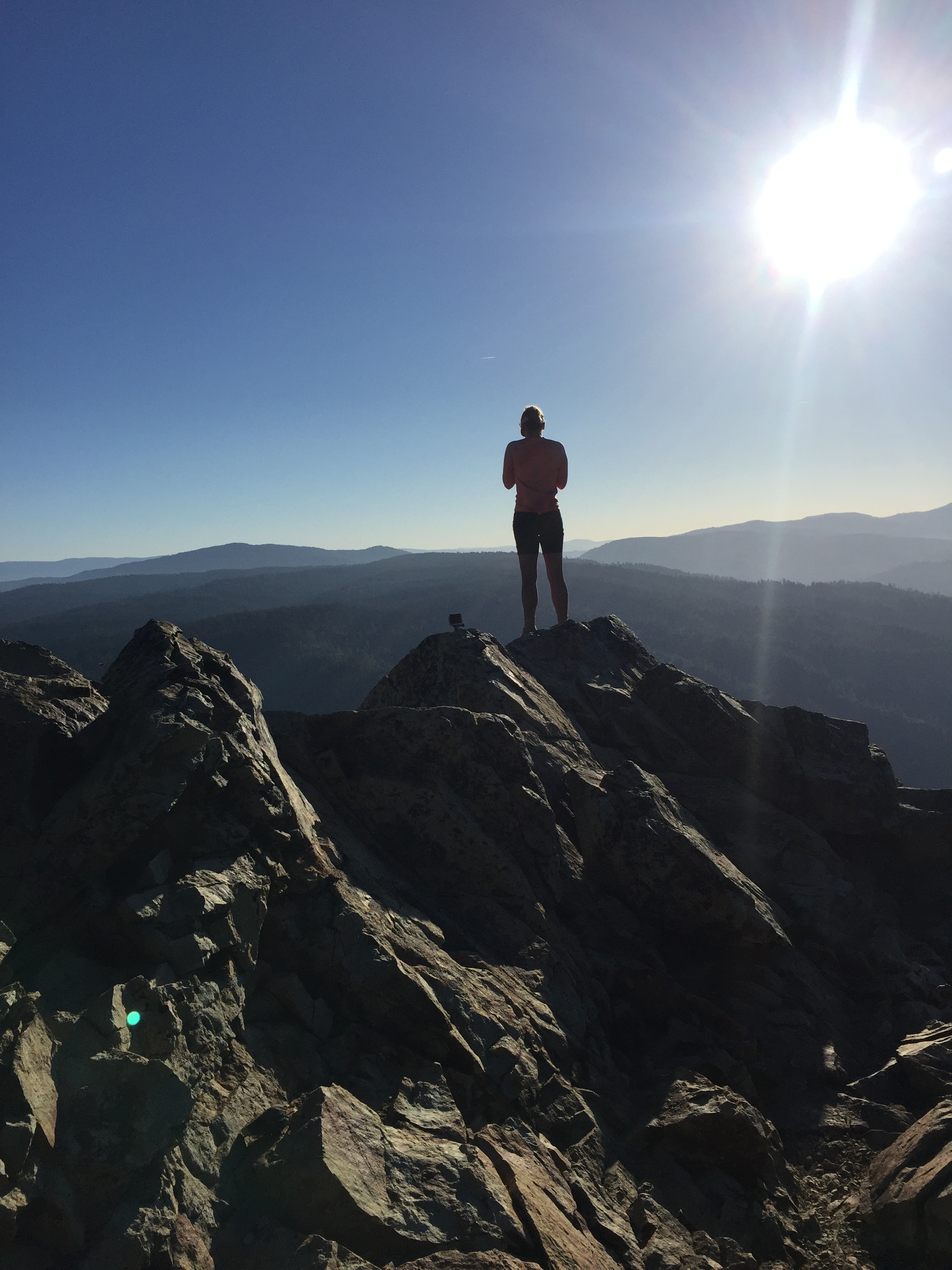
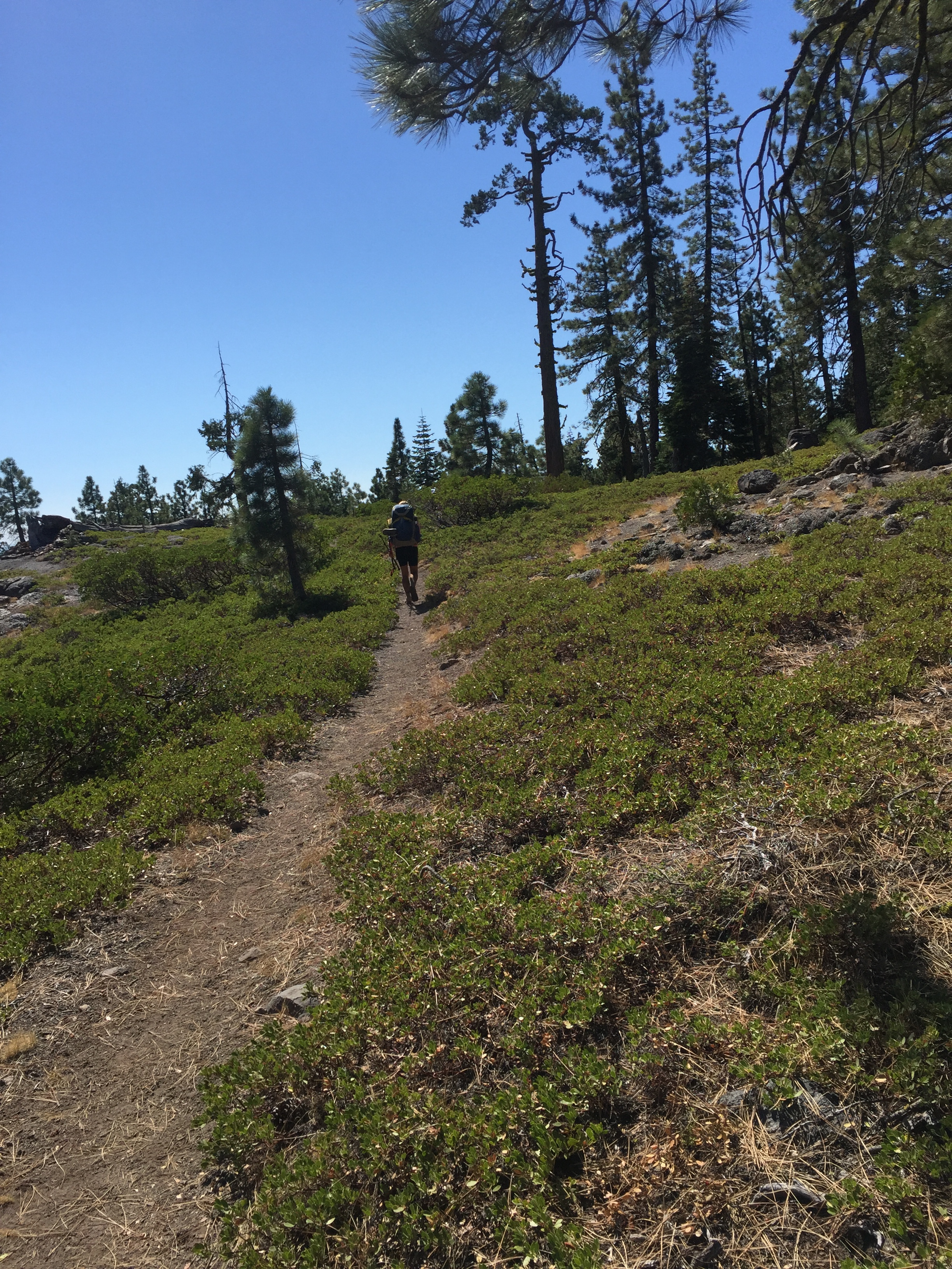
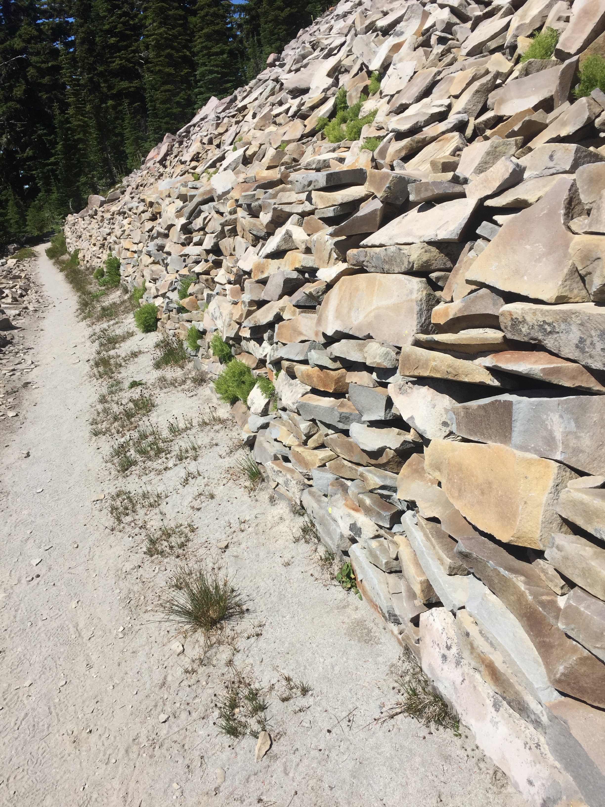
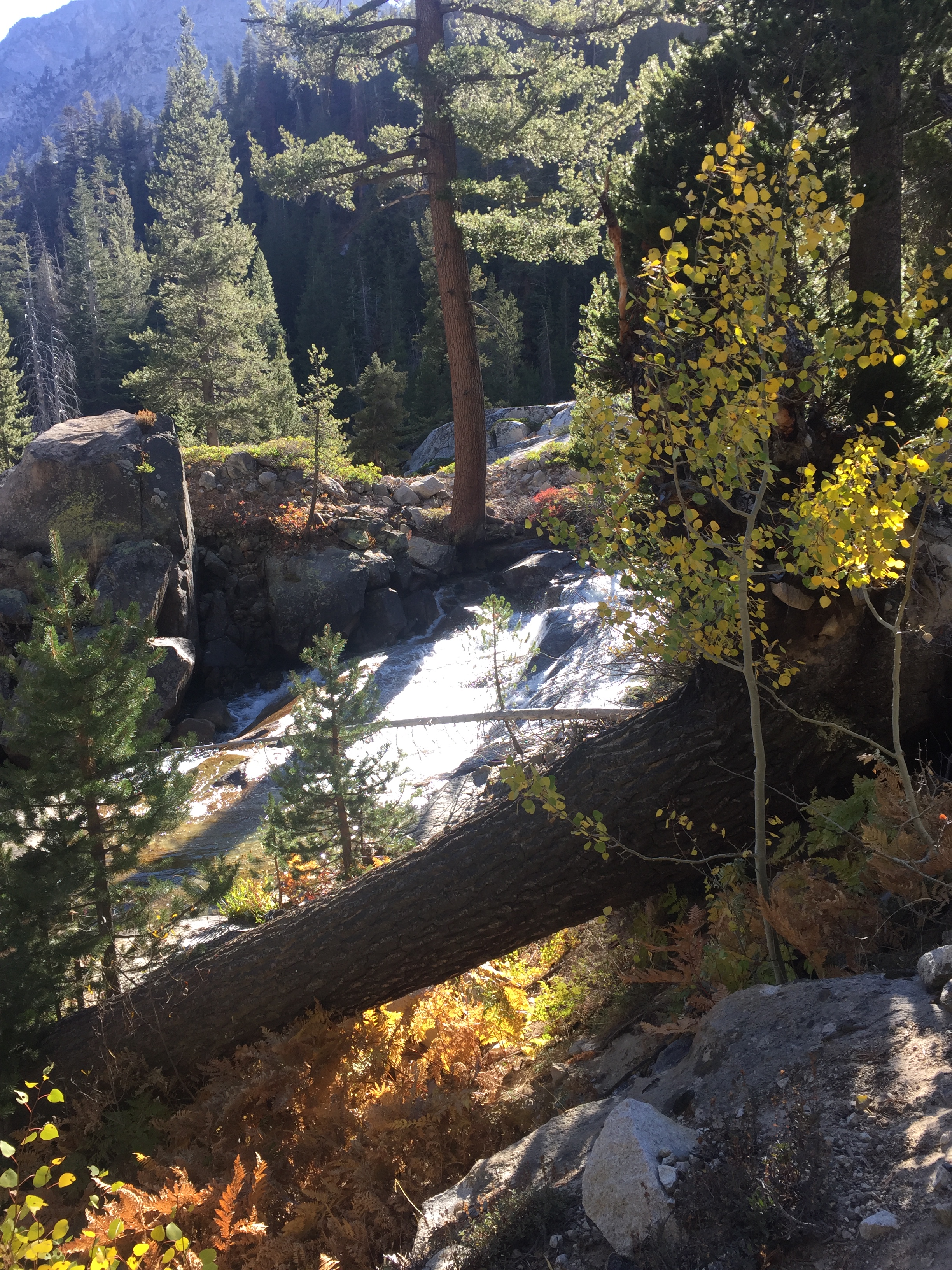
Both of us were fatigued, at some point during these few days, the deep tiredness that comes from working hard every day for 11 hours at altitude without any recovery time. Crazy way to live. But I didn’t see another person besides Puff Puff for 4 days out there. The mountains are extraordinary always but spectacular now with fall colors and crisp clear air. Trails, tent sites and fire rings are everywhere but not the massive hordes of summer backpackers. Puff Puff asked me the other day, “Aren’t you glad you continued?” as she opened her arms wide and embraced the vast granite and glacial moraines under a daytime moon in a deep blue sky. Grinning, ecstatic, bone tired, I said “Yes!”