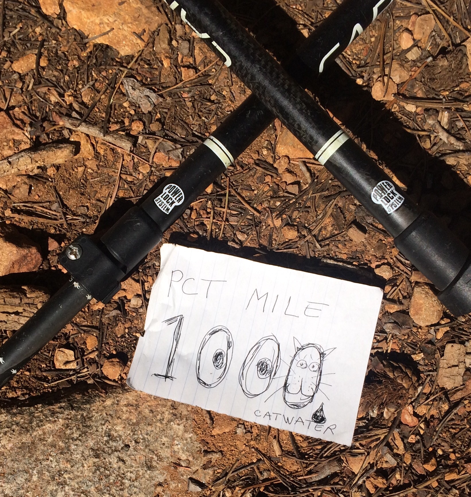
It’s All Relative

Catwater and Dawg Breath (aka my little sister) heading from Mammoth to Tuolumne Meadows
image
Dawg Breath at Garnet Lake
image
Boo Boo, Dawg Breath, Catwater, Noreen, Vicky: Breakfast at Tioga Pass Resort after making it to Tuolumne Meadows in 3 beautiful days with my sis
image
I gave this hiker the trail name Lifeguard. He saved Howdy Doody’s life!
image
For you Chris, a little granite colored frog on my bear canister
image
Perfect campsite! I dare you to find it somewhere between Tuolumne Meadows and Sonora Pass (Half Mile’s PCT mile 973.27). No bugs, no people, no impact, big views!
image
PCT signage helps us stay on the right trail, this one has been there awhile.
image
Pacific Crest Trail Mile 1000, bam! But the Euro hikers were unimpressed, they’re hiking in kilometers, it’s all relative to your frame of reference.

June 23, 2015

PCT Mile 1094.5

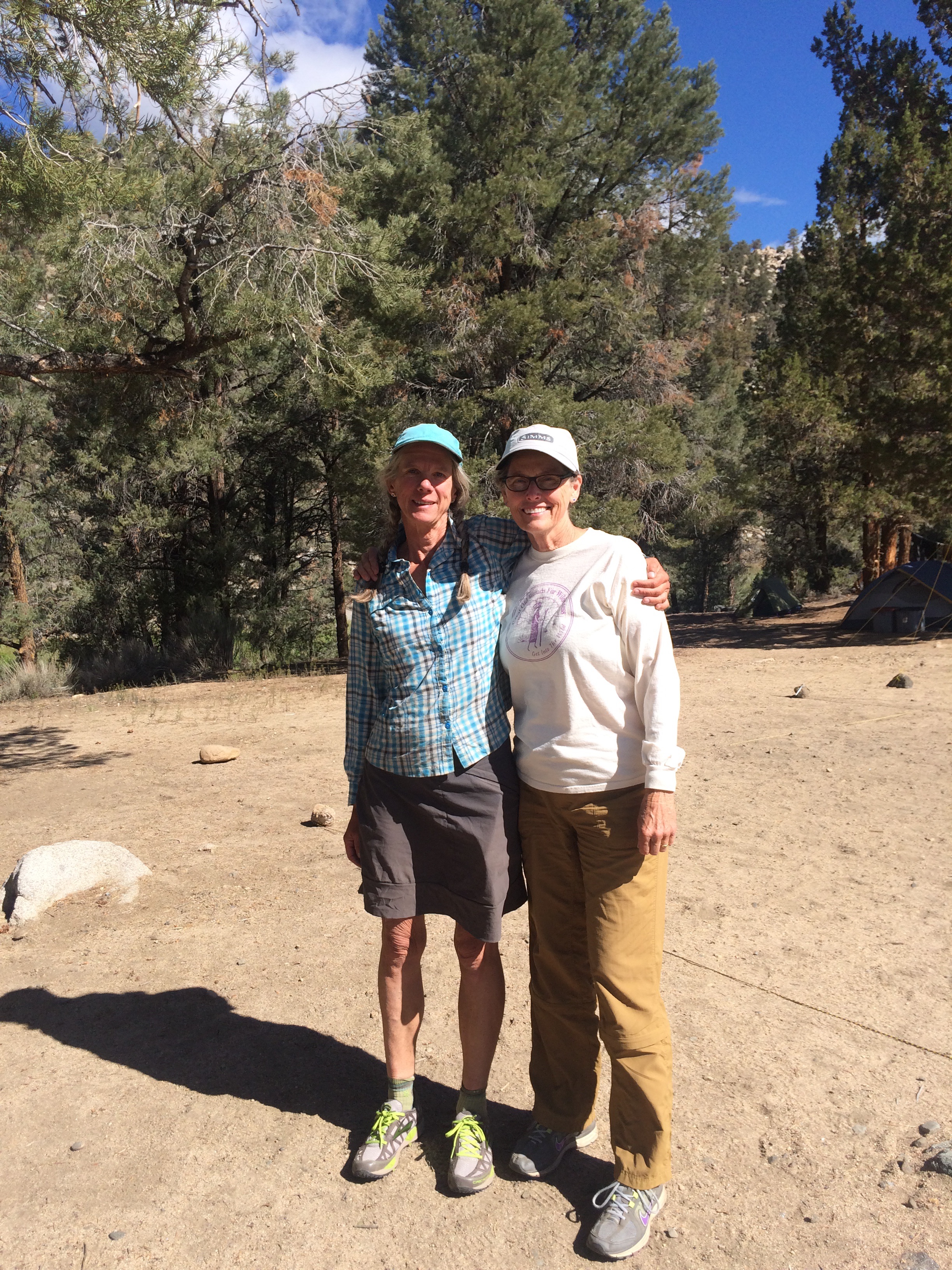
I hung around Mammoth for days, eating, enjoying the company of friends Jim, his Aunt Vel, Joan, assorted hiker trash, my sister, Annie, and eating.  Annie flew south to hike with me for 3 days to Tuolumne Meadows, a beautiful stretch of the trail.  We took the JMT alternative so as not to miss any of the alpine lakes.  It was a very happy few days hiking with Dawg Breath (of course I gave her that trail name, can you see a sibling dynamic here?  I’m still giggling, what a good sport she is, she let me have my fun introducing her, which made me laugh every time.  Catwater and Dawg Breath.) and I think she looks forward to upgrading her gear and doing more backpacking.  Success!

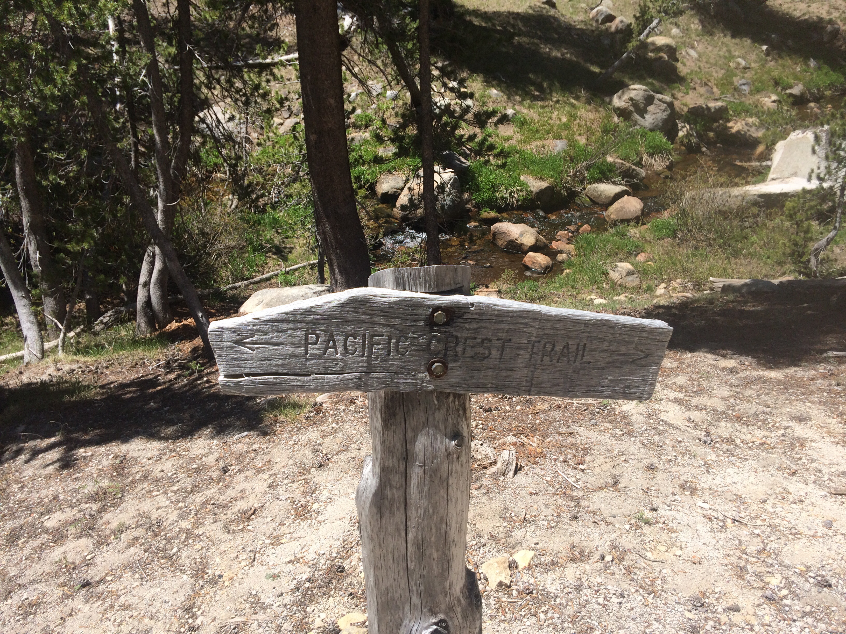
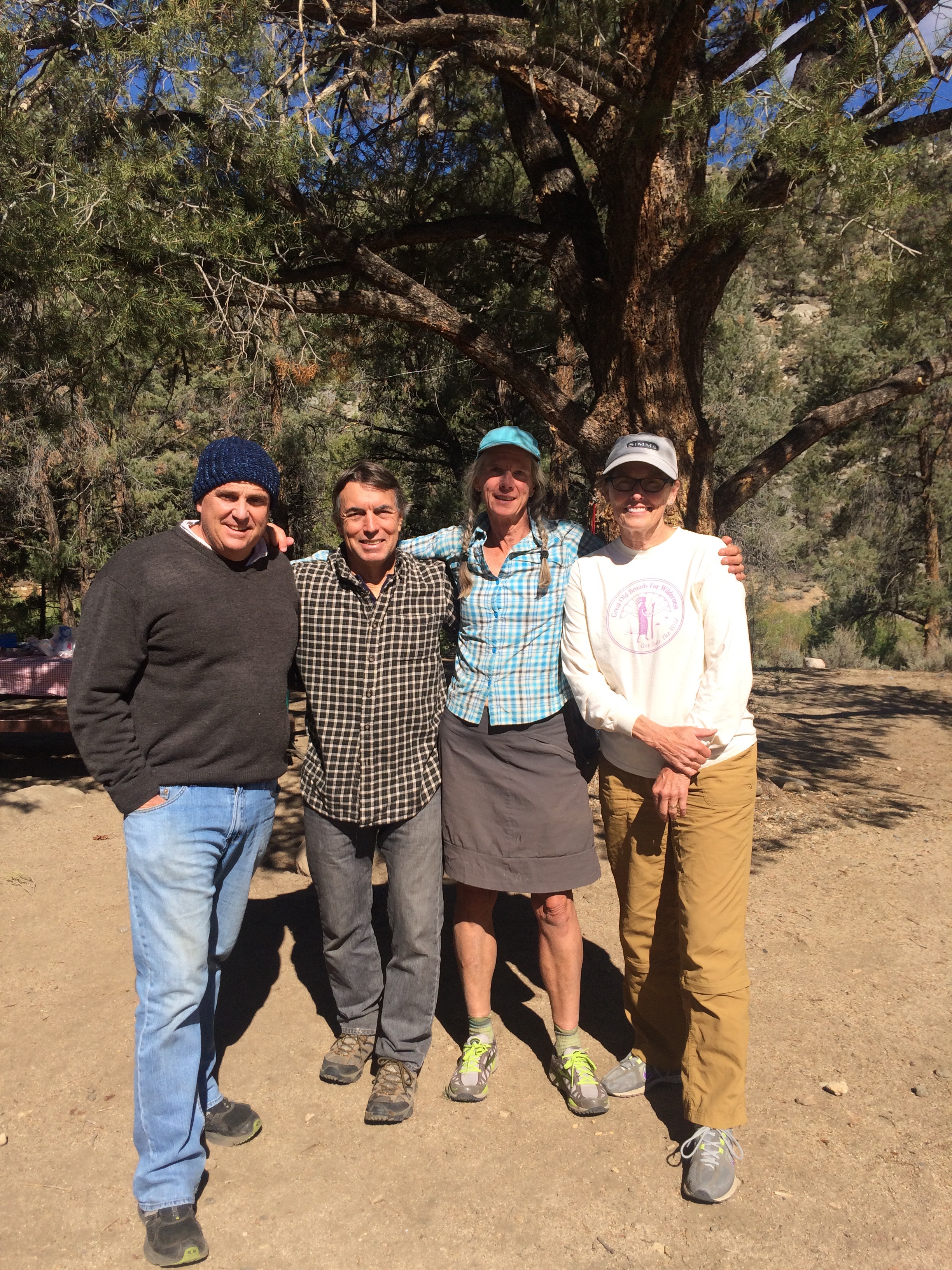
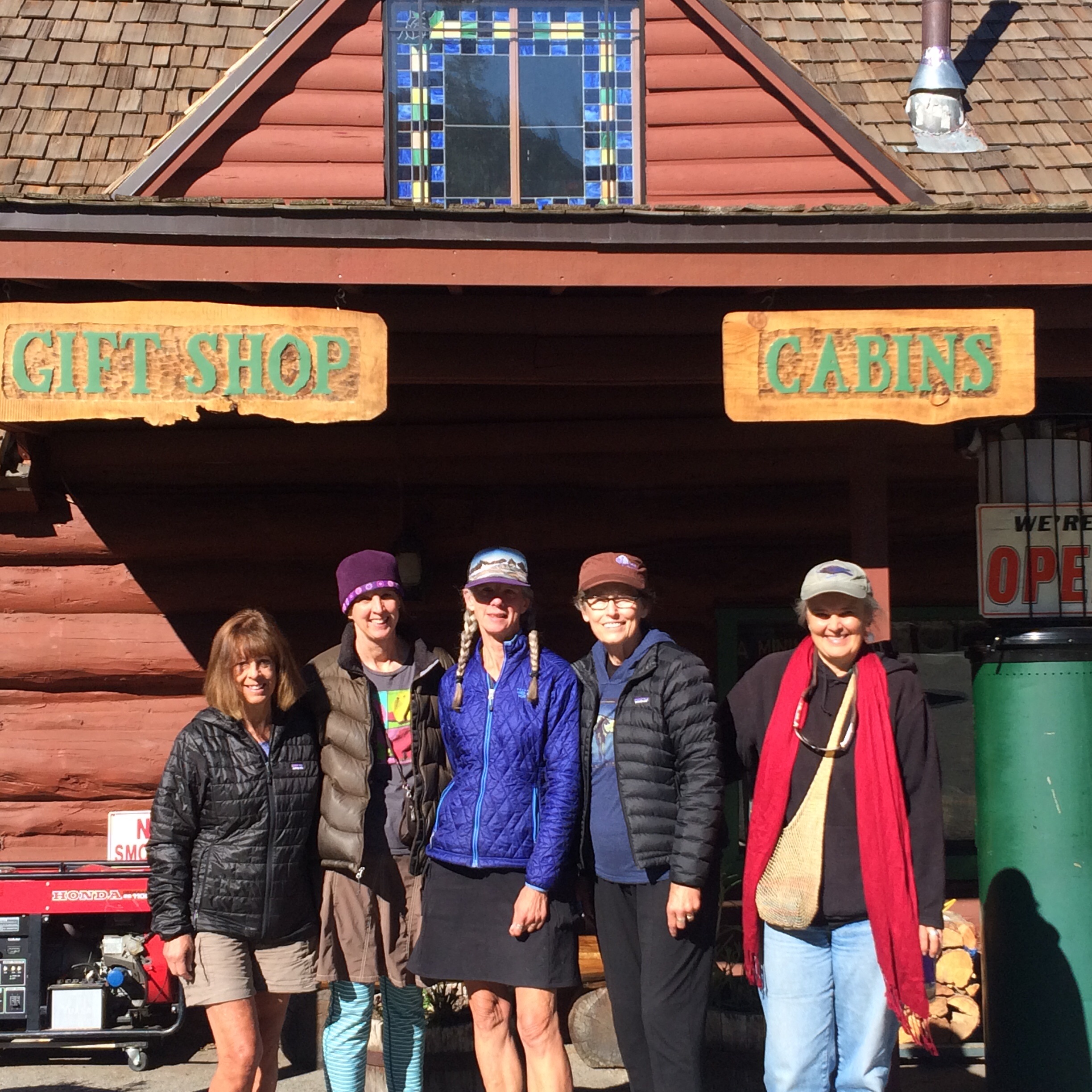
After a wonderful dinner and breakfast with 4 great women at Tuolumne Meadows, I headed back on the trail by myself.  The trail goes to Glen Aulin High Sierra Camp, where I’ve done some volunteer work, (oh how memory can pierce your heart!), after which was all new country.  It was a perfect sunny day and the trail wasn’t difficult, but for the first time I felt a little sad and lonely.  I missed my sister, and friends Noreen, Joan and Vicky–I felt so warm and cared for in their company.  I missed too the JMT, 200 miles I’ve hiked now 4 times in 3 years.

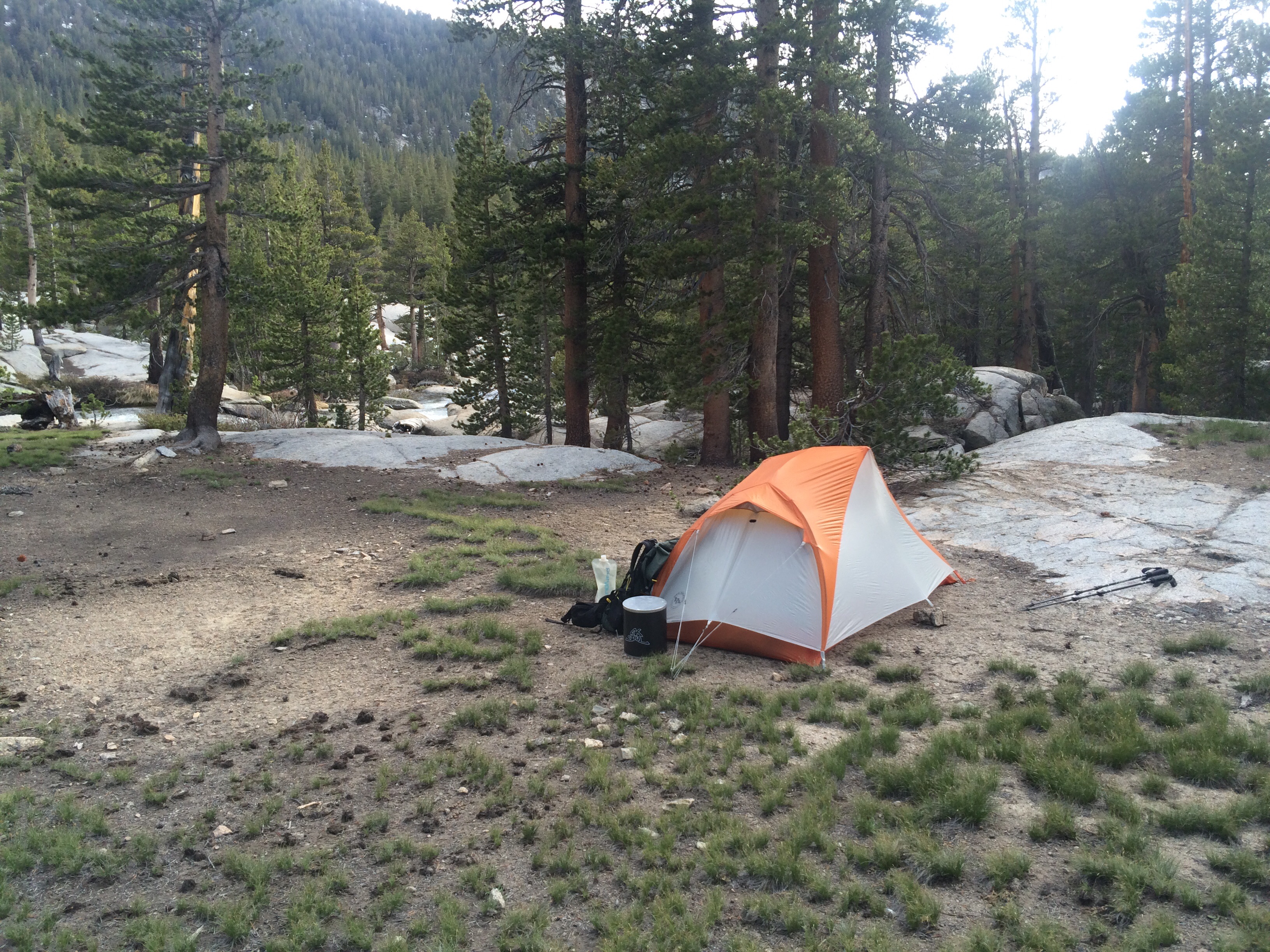
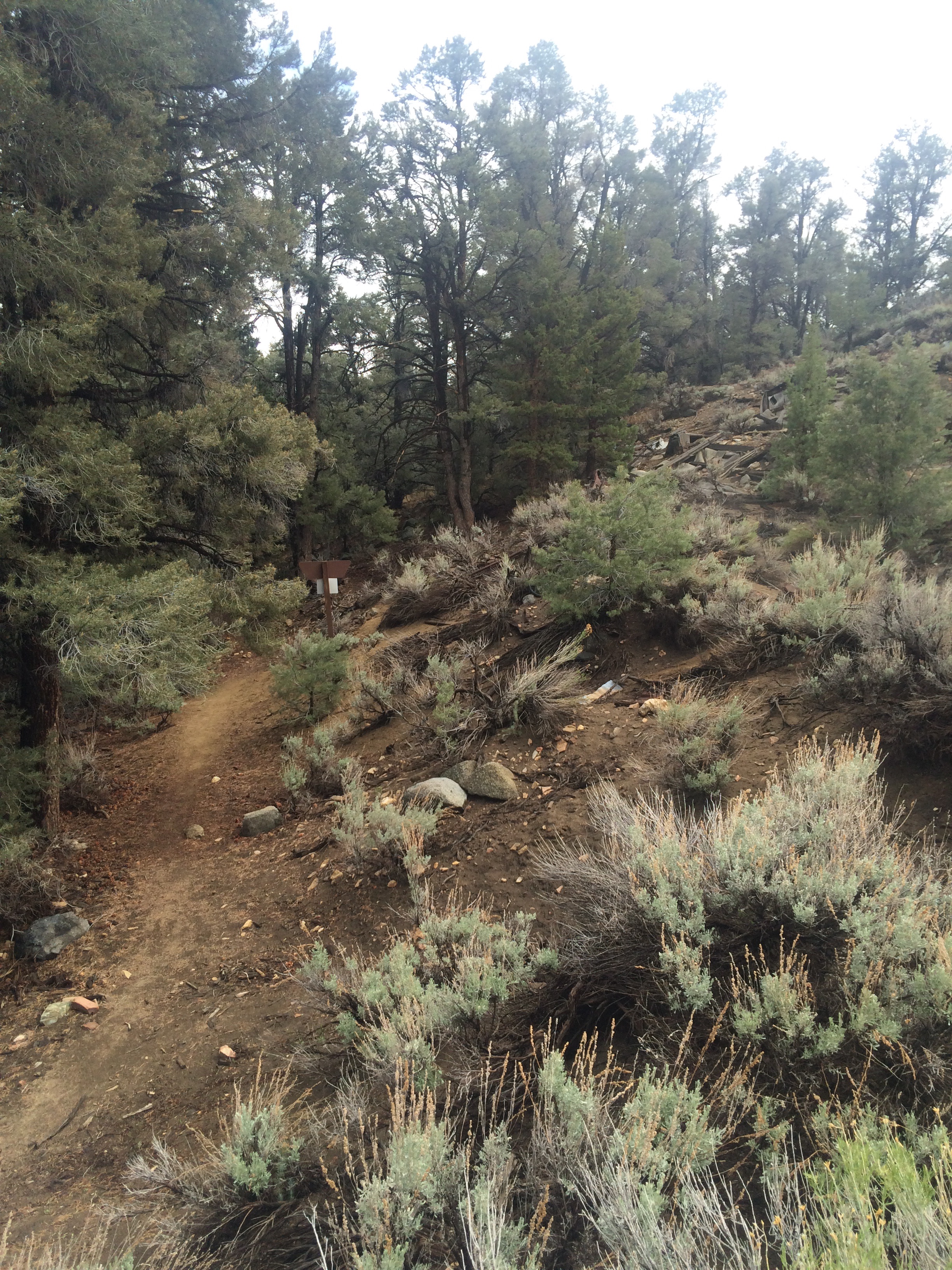
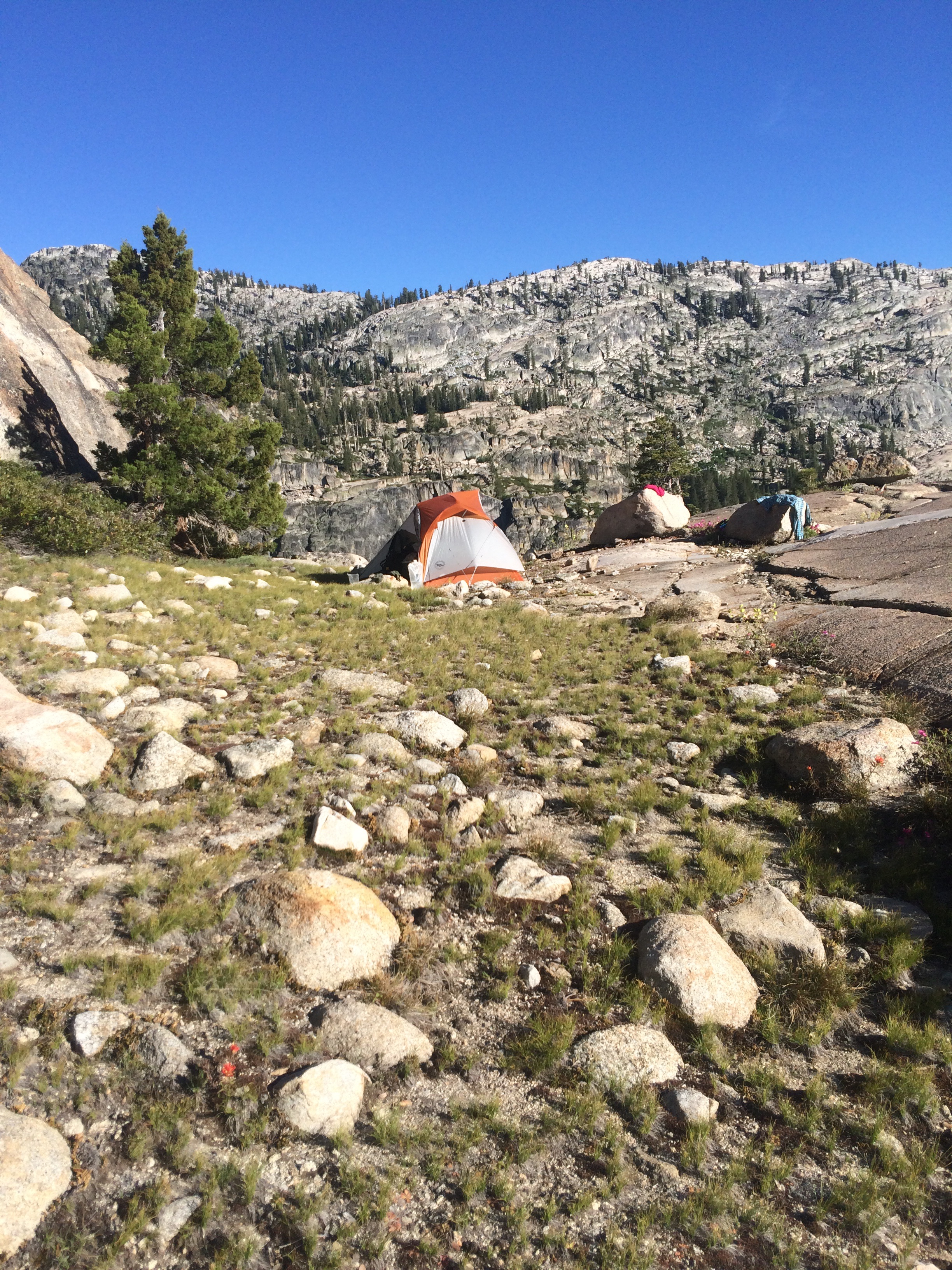
At the end of the day I walked a log across a deep stream and camped up a side trail within eye shot of several other camps.  The next morning I went a few miles before checking my GPS app to see where I was.  Whoops.  Back the way I came, I hiked 7 miles not on the PCT.  Feeling annoyed with my sleepwalking, as I got back to the junction, I saw 2 men on rocks next to the stream with what looked like a hiker garage sale spread out in the sun around them.  Howdy Doody, clad in navy blue underwear and a gold Star of David, stood next to tall fully dressed Lucas, and told me he slipped off that log crossing and got swept head first down a waterfall, then trapped under a log as he tried to unlatch his pack straps.  Lucas, crossing upstream, saw this happen and hustled downriver to pull him out.  “He saved my life!”  Howdy kept saying, “I would have died.”  They retrieved most of his gear and had been drying it out as I merely walked a couple of hours in the wrong direction. It’s all relative.  Later on the trail, Lucas caught up with me and I told him, “Lifeguard, your trail name should be Lifeguard.”  He smiled and said he liked it.  I think it will stick.

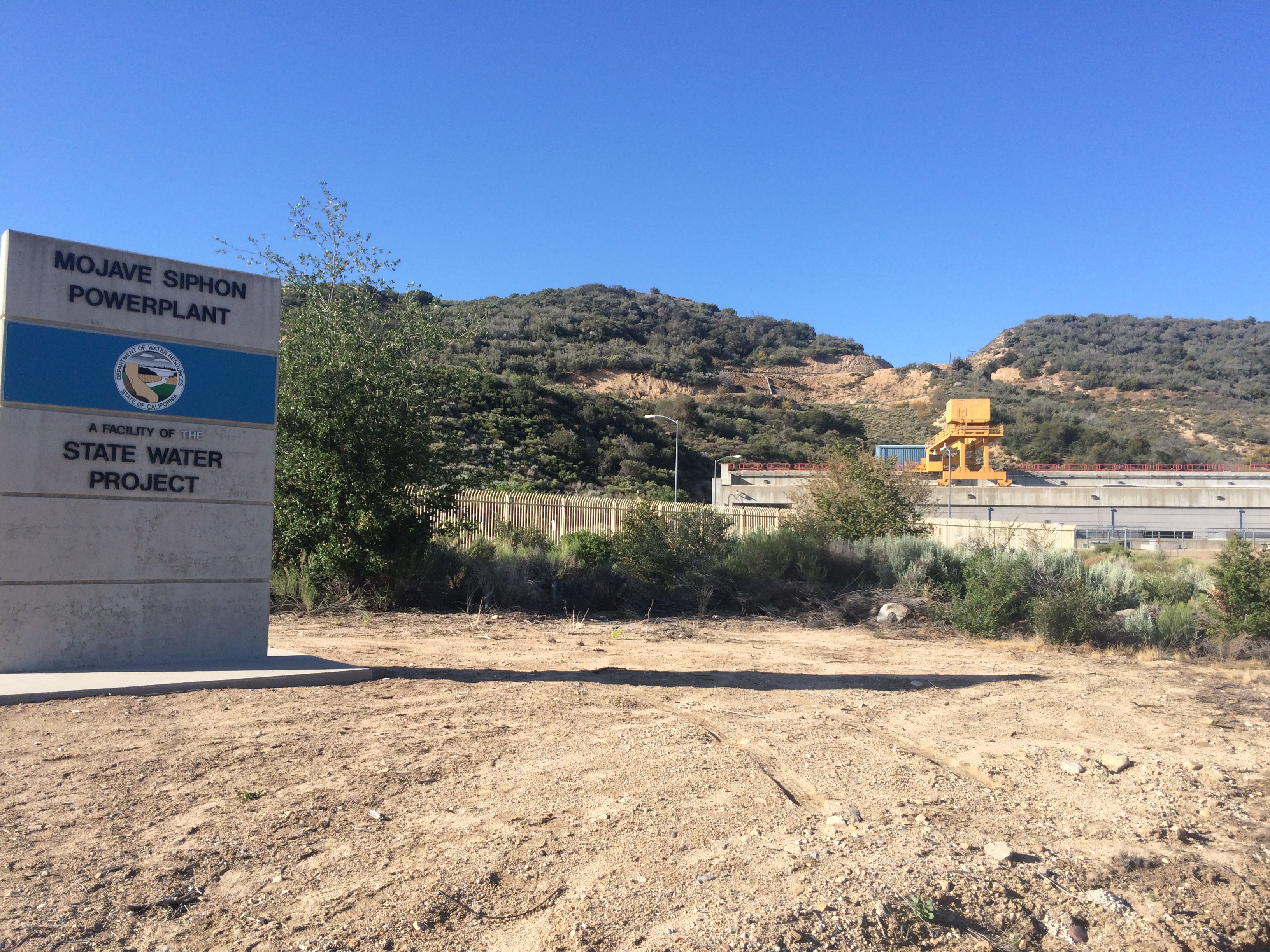
I found a perfect campsite, then another the following night in the rocks on a ledge out of bugs with a vast view.  The next day was more steep trail until finally, on the fourth day out of Tuolumne, the grade was flatter and I could get back to 20+ mile days.  If you can’t keep to your schedule you’re going to run short on food, and that sucks.  Food is fuel, food is energy.  Sonora Pass is beautiful but I hated the 12 mile climb in the freaking wind.  I picked up resupply from Keri at Sonora Pass Resupply (another great business supporting hikers!) and kept going.

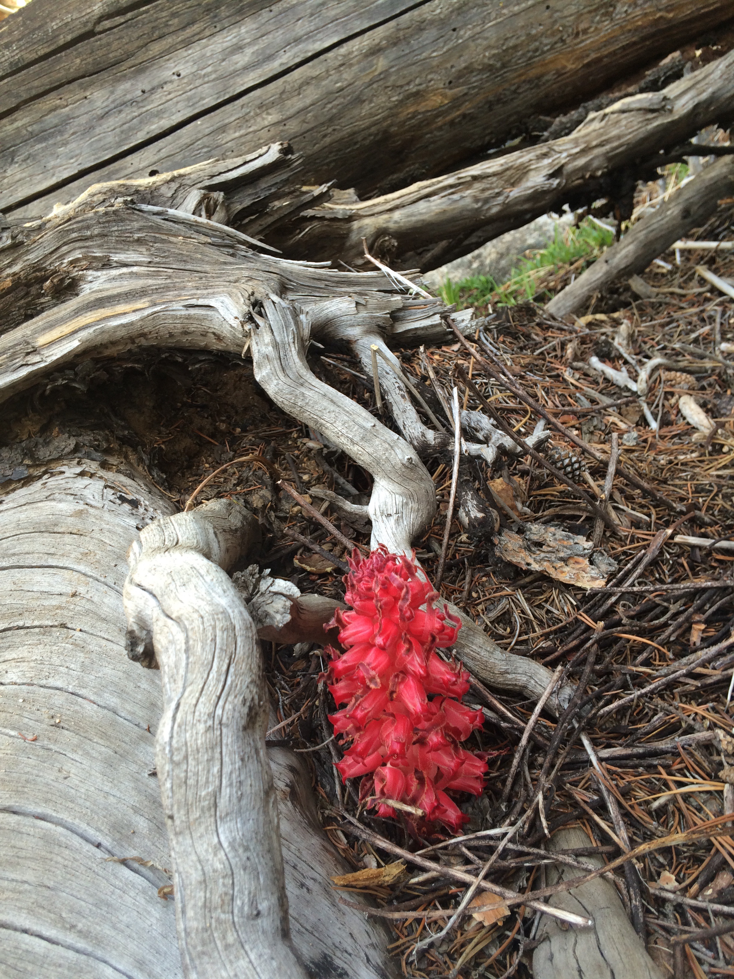
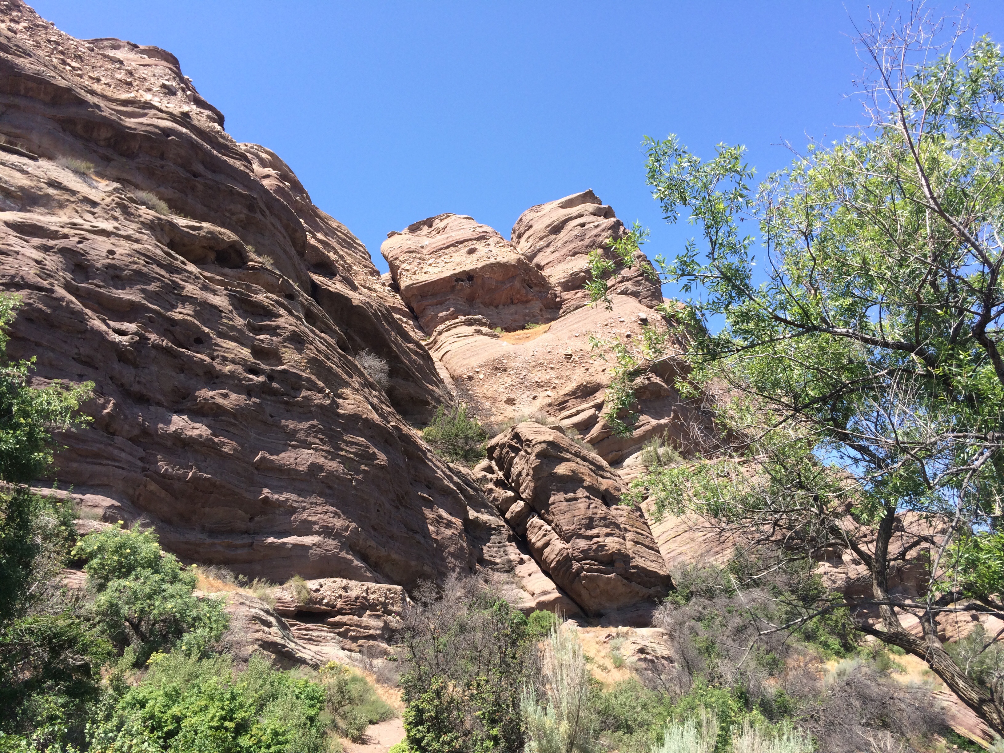
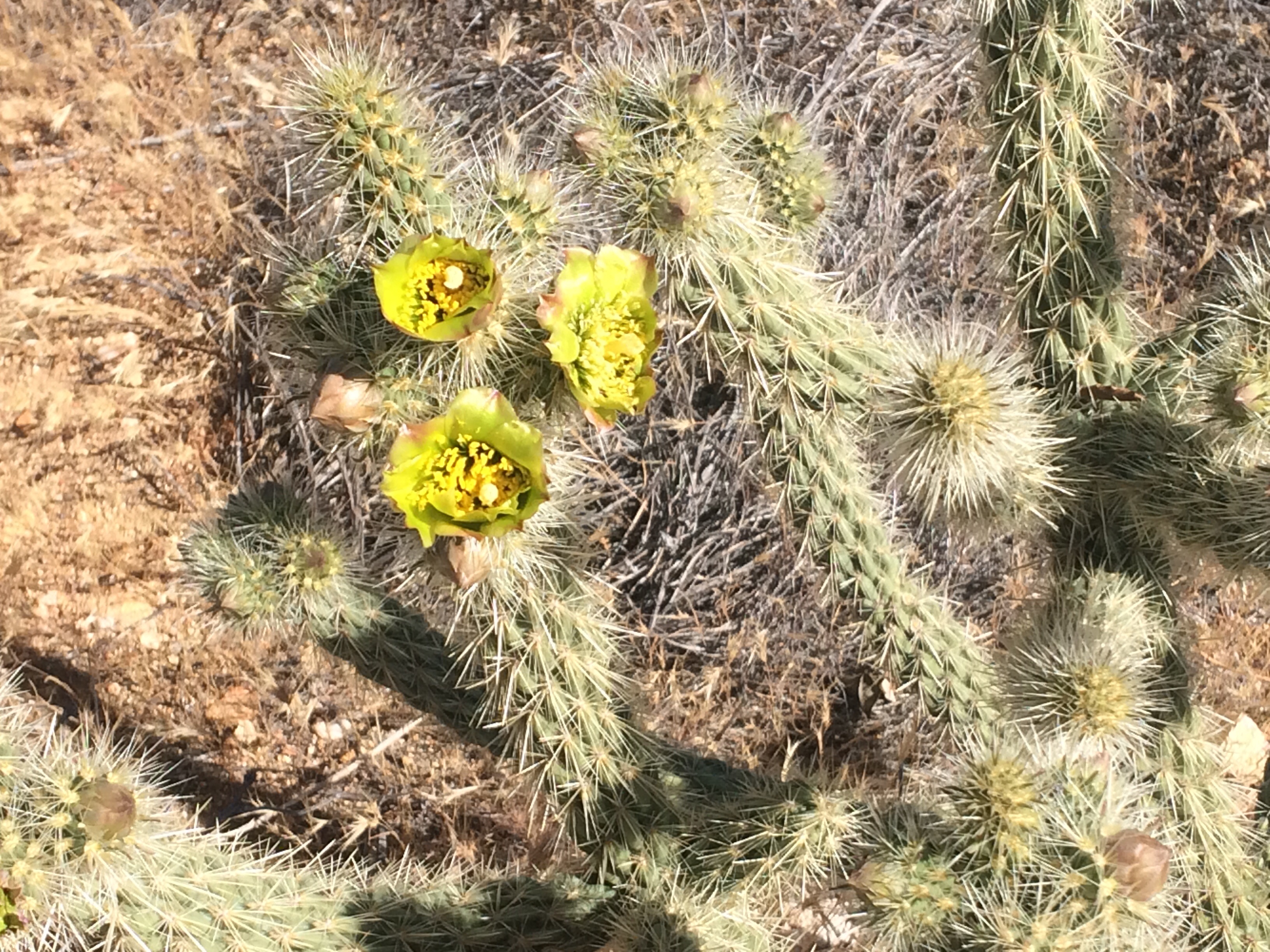
The country changes dramatically, with wildflowers and talus mountains like I’ve never seen before.  Climbing to Ebbett’s Pass and Hwy 4 was some of the most beautiful territory I’ve seen the whole hike. Across the highway, it all changed again, utterly amazing rock formations.  My phone camera can’t do them justice, I just had to stop and look and wonder.  I love this trail.

Solstice, June 21, is also Hike Naked Day.  Nope, not happening.  I’m pleased to note that none of my hiking comrades were inclined to donate their skin for a mosquito feast either.  It was a super windy day anyway, we saw a forest fire near Ebbetts Pass blow up and we nearly got blown off several exposed pseudo passes by wind and gusts so strong I leaned into them like a sailboat on tack.  Coming down into slighter lower and protected latitudes, the kind volunteers at Carson Pass Visitor Center treated us PCT thru-hikers to watermelon, pineapple, grapes, brownies and Cokes, a great boost for the last 6 or so miles to camp.

What a life hiking the PCT.  Dirty, tired, bug bit, exhilarated.  Stinky, grimy, wind blown, astonished.  Hungry, achy, angry, happy.  It’s all relative.

Sierra Solo

My Williamson Motel and Base Camp in Independence, owned and operated by Strider standing next to me:  Love this place!
Mt Williamson Motel and Base Camp in Independence, owned and operated by Strider standing next to me: Love this place!
Glen Pass, looking up after I survived the descent
North side of Glen Pass, switchbacks are buried under snow, so I followed the boot pack set by previous hikers.  See the tiny humans on a patch of rocks?  They went up as I made it to the bottom, first people I saw in hours.
North side of Glen Pass, switchbacks are buried under snow, so I followed the boot pack set by previous hikers. See the tiny humans on a patch of rocks? They went up as I made it to the bottom, first people I saw in hours.
Muir Pass, only pass with snow on both sides
Muir Pass
Muir Pass
Fabulous new Big Agnes Copper Spur UL-1 just below McClure Meadow
A blast of color next to the trail
PCT sign near Red's Meadow
PCT sign near Red’s Meadow

June 8
PCT Mile 906
Red’s Meadow

I’m not sure if I’ve mentioned that I hiked 500 miles in the Sierra last summer, solo, basically hiking the John Muir Trail (JMT) from north to south and then south (Horseshoe Meadows) to north.  I am pretty much at home in these mountains, I am respectful but utterly unafraid, I trust my experience and ability to assess risk and make “go, no-go” decisions.  Plus I have a satellite navigation device with an SOS panic button….

So that’s the Disclaimer.  I solo because I’m lazy and it’s easy, not because I don’t enjoy hiking with others, and camping with others, and in fact I am very happy I am part of this PCT migratory group and have comrades of all ages ahead, behind and with me.  Sometimes the freedom to hike as I please, camp when and where I want, never having to wait for someone to catch up or having to hustle faster to catch up to someone ahead of me, sometimes it makes me kind of complacent.

I got a FIRST this hike.  I was Strider’s first “Full Package” at her wonderful hiker -friendly Mt Williamson Motel in Independence.  I stayed there twice last year and loved the deal.  You get a ride to and from the Onion Valley trailhead, she holds your mailed resupply bucket, does a load of laundry, gives you a room and breakfast and greets you with a cold Sierra Nevada Pale Ale upon check-in.  Bonuses include getting to pet her dog Indy, tons of personal insights about the trail, and hugs.  I highly recommend this place to all JMT and PCT hikers!

Strider dropped me off and I hiked over Kearsarge Pass to join the PCT with Glen Pass a bit further on.  Glen was clear on the south facing ascent, but it was getting on to dinner time so I didn’t loiter at the top any longer than it took to slip the powder baskets on my sticks and the micro spikes over my trail runners.  The boot track traversed a bit and then headed straight down.  Through a dignified  combination of big stepping, glissading, and butt scooting, I managed to make it to the bottom with burning, shaking quads.  It was a long steep way down and I camped at the first Rae Lake I came to at about 7:15 pm.

The next morning, my legs were weak as I headed down to the Woods River suspension bridge and began the tedious climb to Pinchot Pass.  I was whipped, lethargic, and those 15 pounds of food in my pack made every step harder.  So I camped early, after just 11 miles and no pass.  Who was going to argue with me?  Felt like a touch of altitude sickness combined with too much descending, felt like I was a wimp.  Marathon John stopped to talk, then a couple hours later, Half Slow and Señor Whiskers, all OGs trucking up Pinchot.

Woke up feeling great and crossed Pinchot and Mather passes.  Post holing, talus tumbling and generally just heading straight down off Mather into the glory of the Palisades, I managed a 12 hour day and a perfect little stealth camp above the inlet to Lower Palisade lake where I fell asleep to the sounds of thousands of frogs croaking and woke to a thin sheen of condensation dripping down the rain fly.

Down the Golden Staircase, through the down flats along the river till I turned up and began the long approach to Muir Pass.  There were deer everywhere, no fawns yet though.  A cool thing about hiking this section is the memories that pop up associated with a particular spot on the trail. The bear I flushed out of a ferny creek that ran and ran way up into the granite, the mama grouse and her 3 enormous fledglings, the campsites Tarcey Jayne and I enjoyed on the JMT in 2013 at Dollar Lake, the north side of Muir Pass and the secret spot south of Selden Pass.  I went up Muir Pass early enough that the snow was firm, although down to Wanda Lake and beyond was pretty mushy.  I was through the snow by 1:30, although it was windy and cool clear down to McClure Meadow where I wanted to camp so as to ford Evolution Creek early in the morning so  my shoes would have the rest of the day to dry.  More deer, no hikers and I found a 1977 quarter (you find quarters at campsites because they’re used to open some brands of bear canisters) which made me review what significance the year 1977 had in my life.  Oh yeah, Juneau, Fairbanks, “the year I finally grew up.”

The following was a long day, I crossed Selden Pass, finishing at 6:45 just seconds before hail piled up around my tent.  I peeked out at clouds and mist, lightening to the east and the moon struggling to be seen in the opposite sky.  Since I’d taken a sick day on trail, I was short of food to make it all the way to Red’s, so I decided to hike to Vermillion Valley Resort (VVR) off trail for a night, not many hours away.  I had a leisurely morning letting the sun melt the ice off my tent, and enjoying the views of the mountains ringing my oasis until 8 am.  I had wet feet all day from the numerous fords of “rollicking Bear Creek.”  Just before turning off the PCT for VVR, Lone Wolf Expedition, a 1977 thru-hiker, pulled out a gallon ziploc and gave me a $2 bill (“weighs less than two 1’s”), to buy a treat in town on him.  How cool is that?  1977 again.

VVR was a trip.  Made it into the lodge just as another thunder shower opened up.  It took a few minutes, but I knew the 2 people inside:  Julia used to work at Tioga Pass Resort, and Everest had materialized out of the woods last summer, like Captain Kirk on the surface of an unknown planet, to talk with me, Joan, Jim and Tom.  Everest, 51, continues his long distance adventuring roam in the Sierra, a unique quest having to do with love and enlightenment.  At dinner, a bunch more PCT’rs gathered for real food.

Up and over stunning Silver Pass to camp in yet another hail storm at Lake Virginia with Cool Breeze, Growler and Puff Puff.  My last night before Mammoth, my beloved Thermarest NeoAir XTherm let me down after 1400 miles of cushy warmth.  I insulated myself from the cold, hard ground somewhat with my pack, clothes bag and rain gear underneath.  Sleep walked into Red’s, met by Jim, and transported to his Aunt Vel’s in Mammoth for a Mission IPA and homemade hummus.  And then a really delicious dinner at Mammoth Brewing Company accompanied by Jack White on the sound system.  I love Mammoth, I really do.

Celebrity Status

Uranium water
Uranium water

May 28
PCT Mile 745-ish

image
Me and Noreen!
Tom
Tom “Lonesome Duck”, Sunset Jim, Catwater,  Noreen

Caught a ride into Lake Isabella with trail angel Root Beer Sue, who is supporting her hiker husband, Eeyore. Picked up resupply, cleaned up, charged up a zillion devices–phone, battery chargers, inReach–and made a plan to get back to the trail 35 miles east the next morning. Kevin had started hiking where Cheryl did and was going to let his thru-hiking son catch up to him in Kennedy Meadows. We caught a $1 Kern County bus to Onyx at 6:10 am. Uh huh, me, I did that. Because it was Thursday, the bus didn’t go all the way back to the trail, so we hitched. Kevin had made a very nice cardboard sign, “PCT HIKERS TO TRAIL.” I barely had time to pet the very first living kitty I’d seen since beginning this hike, when a woman screeched to a halt in the middle of the highway. My age, Beth was so excited to give us a ride that she was literally shaking with joy. Her husband always picked up hikers but we were her first. When she let us out, Kevin went up the trail but I had to backtrack 0.7 miles to restart hiking where I’d left off. Later in Kennedy Meadows, I confessed to Kevin that I gave him a trail name in the hiker registers–Hitch Bait. He likes it.

On this stretch I drank spring water contaminated with traces of uranium, spring water dripping from a broken off, rusty pipe dripping into the usual rotting concrete tank next to the derelict Fox Mill (looks like a gold stamp mill), clear water from a trickle of a algae covered creek and water from a completely empty BLM campground with a single faucet approximately a 1000 miles from the trail ( any of you tracking me now know one of the reasons I seem to wander way off from time to time).

Living cat
Living cat
Fox Mill spring area, I camped amongst the artifacts, how sweet is that?
image
Fox Mill artifact
Rusty metal objects, love 'em.
Rusty metal objects, love ’em, but see the obsidian flakes mixed in too?

I made it to Kennedy Meadows where I was greeted by friends Noreen from Yosemite, Jim and Tom from LA, Tom’s daughters Colleen and Maggie, and Maggie’s beau Bryson.  We camped and they fed me and Jim brought my new tent, Big Agnes Copper Spur 1, and Noreen gave me food and beer, and at night Maggie and Colleen sang the most beautiful tunes as I lay in my tent, and they fed me some more.  I hung out at the Kennedy Meadows General Store with lots of hikers who tend to take a day or two off to prepare for the big passes of the Sierra.  Bear canisters, mini crampons, warm layers and even more calories are all shipped to this hiker friendly launch pad for the real mountains.

There were rumors and panic amongst some of the hikers.  “Blue Moon and Scarecrow are hitching to Reno, and hiking north from Soda Springs.  They’ll flip back when the snow is gone.”  Umm, really?  “Someone died on Forrester Pass.” “Wow, who? A hiker? A climber?” “We don’t know.  But we’re getting a ride to Mammoth.  We’ll flip back when the snow is gone.”  Lots of hikers just hit the trail to get away from the tension, as others walked in, to be pulled into the rumors and speculation.  No internet, no authority to set it straight. A few hitched the hour to Lone Pine to try to get facts.  One of these, Bender, an AT hiker and someone I’ve known here awhile, I met in Lone Pine as he headed back on trail to tackle the biggest pass, Forrester, and maybe Mt Whitney, after getting good information about weather and snowpack.

Anyway, I said goodbye to my trail angels–thanks again guys!–and headed into the Sierra, at last!  I made my first big goal, I thrived and survived the first 702 miles and am back home in, more or less, the Range of Light.  Granite, water, altitude, trees, mountains for hundreds of miles.  I told Dan, if I die up here, no body retrieval, roll me in a crack and save the kids from having to read “Lonesome Dove” followed by scattering my ashes along the John Muir Trail.  Heh heh, seriously.

What desert?

May 20, 2015
PCT Mile 652

Hiker Town along the aqueduct to Tehachapi took 2 days, in the overcast and wind. Apparently it snowed higher up and rained in LA. It was good hiking weather. Got a ride into Tehachapi from Big Al (hey wait, a brave soul or two has called ME Big Al) and grandson Aidan. I took his measure and said he definitely owned the name. I signed his hiker register and he was impressed with area code 907. Poor Skunk Ape and Bender in the car with me got no love for their East Coast origins.

Had dinner with a bunch of hikers more or less in my wave: Julien, Dana, Jesse, Marathon John, Puff Puff, Growler and Cool Breeze. We are all really good at eating. The next day, I ran

Windy
Windy
image
Cow bone on the range, would have picked it up for you, Dan, but you know, it weighs a few ounces.
image
I think this is a photo of an interesting old crusher that was too far off the trail to walk to.
image
Smaller wind turbines, Vestas I think. Still really windy.
Joshua trees, thanks Recon for telling me about them
image
That’s a crusher for sure.
Glide, trail angel Twinkle Toes, Goat, Catwater

into Marathon John who asked Spencer if he could add me in the car with the other hikers driving around shopping, for food, of course.

Got back on the trail where I left it at 558.5 and 8 miles later hit the spot where the notorious Cheryl Strayed began her hike. So I was informed by a proud, local, day hiker. Camped at 578, 602, 623 and 646, with a lovely 4 mile diversion down a gully from 618 to pick up 7 liters of water to get me to Walker Pass at 652. After starting with them at 558.5, I finally saw Cool Breeze and The Puff the third night out. How does that happen? I was behind. Ha, they slept in and I somehow sneaked past temporarily.

These past 94 miles were said to be tough and hot with the longest waterless stretch so far. But the overcast helped. And if you drive through this country, what you see is barren, brown and scrubby. When you walk you see wildflowers, purple, yellow, pink and tiny white ones fragrant and humming with honey bees. You see 3 cows with sleek black calves skittering across the trail just like moose, a rattlesnake somnolent on a rock in the trail warming up in the cool morning, and a Desert Cottontail bounding away with its little puff of a tail just like my Manx, Shreddie.

Two nights ago after schlepping the water uphill, rejoining both the PCT and the wind, I found a tent site amongst some Joshua Pines and made dinner. Started to set up the tent in the cold wind, and the shock cord holding the poles together snapped. Jury rigged with a line to a tree, not too secure but got me out of the wind for a bit until I was warm enough to come up with a better solution–run that same line through the poles and tie to each other. Stayed warm that night. Stupid ultralight tent, too delicate, the bug netting tore the first week. No bugs yet so no problem. My friend Jim answered my satellite text ( yay inReach Explorer!!) and is bringing me a proper tent to Kennedy Meadows. So long Fly Creek Platinum, you tiny, flimsy piece of shit.

I said I wouldn’t talk about gear, but it is kind of critical out here. The things I love are my ULA Catalyst backpack, Western Mountaineering Terralite sleeping bag, Thermarest Xtherm Xlite pad and my Brooks Cascadias 8. So far.

I love this trail. I love the people on this trail. Some are ahead, some are behind, and some are new to me. At this point, those of us still hiking have credibility and connections with each other, a shared set of concerns—like the next water source, or who has had some difficulty but is back hiking, or what weather system this set of clouds is bringing to which elevations.

We communicate through the trail registers, writing our name and the date. This is how I know that sweet Rachel, 22, who had to find a doctor in Tehachapi, is back on the trail ahead of me, no longer Chartreuse, now Foothawk. It’s how I know Occupy is continuing 30 mile days in the coolest old school gear you’ve never seen before. It’s how I know too that I’m not the slowest hiker in the wave, some hikers I’ve walked with are not in the registers when I sign. But when they come along, they will be reading my name and cheering, “Alright! Catwater is killing it!”

A few photos

May 15 PCT Mile 558.5 Forgot to upload my few crappy phone photos with the last post.

What?  Wind farm?
What? Wind farm?
A lovely collection of hiker trash at Case de Luna.
First Tracks
First Tracks
My little tent T Mile 424
Miniature Poodle Dog Bush
Tea Cup Poodle Dog Bush
image
Poodle Dog Bush
Poodle Dog Bush
Hang on to your hat, it's another windy day.
Hang on to your hat, it’s another windy day.
Ronda. Cheyenne, Lizzie.
A bit spooky walking under yet another So Cal highway
Helpful graffiti near Cajon Pass.
Siphon
Siphon
The most interesting things around Cajon Pass are made by humans, like this gigantic siphon.
Vasquez Rocks
Vasquez Rocks

Cajon Pass to Hiker Town

May 12
Day 31
PCT Mile 517

I have been amazed by the variety of country we’ve traveled through. 21 dry, hot miles uphill from Cajon Pass, down into the sweet little town of Wrightwood with cool temperatures. Up to the summit of Mt Baden-Powell and a camp site to myself in the pines and cool at 8400′. Had to observe and go around a trail closure to protect those cute and endangered Mountain Yellow-Legged Frogs that Bubba Gump and Ranger had shown me.

Carrying 5 liters of water on a daily basis adds quite a bit of weight and work to my day. In fact, this whole PCT thru-hiking deal is arduous. It’s like running a No. 2 shovel all day, day after day, hiking is hard physical labor. Or running a marathon every day. I am blown away by this army of filthy, stinky, happy, generous, friendly, kind, joyful hikers of all ages. These are athletes. No uniforms, no contests, no pretense. We are all just walking north.

Got snowed on, then got First Tracks the next morning trudging through the evil Poodle Dog Bush, which can give you a rash like poison oak, but without any treatments. The bush colonizes burn areas, a lot of which we’ve been passing through.

Stayed at the Anderson’s, trail angels in appropriately named Green Valley, what a trip. Then another long roadwalk around a fire closure ( trail a mess I guess), and up to a lovely campground where I found Puff Puff, Growler and Cool Breeze. We were soon joined by Recon. There was supposed to be a water tank there but none of us could find it, so by the morning I didn’t have enough water to make a cup of coffee. That is a dire situation. I threw my stuff in my pack and took off before the rest were out of their tents. 5 miles later I found a cistern with a little opening in the concrete top and a few inches of water 12′ below. I was engaged in a laborious process of dipping a weighted bag on a line to gather a liter of water when the others walked up. Recon observed the process and said, “I have half a liter, I think I’ll go to the next water.” Cool Breeze climbed on top and peered into the cistern. “There’s a dead animal in there. Maybe a fox.  Or a cat.” I said something like, “Well I’m going to make coffee and eat my breakfast.” Puff Puff and Growler just looked at me, did I detect a certain amount of alarm in those looks?

Later, I caught up with them all and commented, “That was the best Dead Cat Water Coffee I’ve ever had.” As hiking goes, a few miles later, as he passed me, Cool Breeze kind of nodded politely and said, “Catwater.”

Bingo. Trail name. And I can’t stop laughing about it. Gross, disgusting, unique, funny story. Perfect. Although it is very odd to keep a straight face, so I don’t, when Cypress introduces me to other hikers as, not Alison, but Catwater.

Idyllwild to Big Bear to Cajon Pass

Jelly Bellies to keep me warm during a wind storm

image

Frogs at PCT 298
Frogs at PCT 298

May 1, 2015
Day 20
Miles to date: 321

A little catching up:

There’s weather in So Cal. Hiking out of Idyllwild up Mount San Jacinto, I ran into a few snow banks, which made me glad. Then it started to snow lightly which made me laugh. It didn’t last long but the clouds spoiled the view. Woke up to a frozen water bottle and began the tortuous descent to Cabazon. A long day, 18 miles of downhill in high winds, followed by 5 miles of slogging through deep sand in a head wind. No place to camp by the I-10 but I finally stumbled in to Ziggy and the Bear’s trail angel operation at 6:45 pm, where 14 or 16 fellow hikers were stretched out side by side in sleeping bags in the backyard surrounded by wind breaking fence. Sanctuary! The winds continued the next day along the crest, blowing me off my feet a number of times until I dropped down into Mission Creek and camped in perfect solitude while light rain freshened the air and packed the sandy trail for the next day’s beautiful uphill 22 miles back into the wind. A wicked howling night with a wind chill that made me feel like I was home, followed by a 20 mile day to Big Bear, which was markedly improved by friends Jim, Larry, Tom and Ellen who met me with cold IPAs 4 miles from the parking lot. How cool is that? Beer killed the residual leg pain from the long downhill day, but it’s rather fortunate I had trusty hiking sticks to keep me from tipping off the trail.

The day before Day 1 at Scout and Frodo’s in San Diego. I stayed in a tent with 4 other women and started the trail the next day with them (plus 6 other thru-hikers), including Poppy (Natasha). We somehow found ourselves hiking similar miles and camping and town visiting on about the same schedule.  We  arrived at Big Besr and stayed at the hostel. The next morning she awoke to a foot infection, very sudden, and has left the trail. I will miss her strong, cheerful, and self reliant presence.  Heal well!

Back on the trail at 266, I stealth camped just 14 miles in due to the start necessitated by getting a ride. Then a big 25 because there were no flat spots to put a tent in the beautiful Deep Creek canyon. Glorious day, I saw a coral snake and a black and white striped snake, kind of had to hustle them off the trail. And frogs!

Every day I’m out here is a gift.  I’m even more aware of that since seeing how suddenly my fellow hikers can be sidelined.  In Big Bear alone, Snack Pack left with a pinched nerve in his shoulder, Poppy got an infection, a girl was made miserable by her hiking partner and I heard sweet Bree rolled her ankle badly.  So far I’ve worked through most of the usual aches and pains I expected from the simple act of walking while carrying a backpack day after day.  I am happy.

Squiggle Engineering

In a comment on a previous post, Dan asked what the hiker term was for “a long, sinuous, snakelike alignment like from Idyllwild….” Thank you Dan for your question and the excellent use of sibilants. The short answer is “Squiggles,” which are the modern replacement for the historic and sensible “Switchbacks.” The PCT is a patchwork of trails connected by a name threading through assorted county, state and federal jurisdictions. Some of the oldest stretches were designed and constructed by actual engineers in an era where algebra, dynamite and slope gradients were commonly deployed in transportation projects. Trail users in the heyday of 1930’s trail making included mules who are particular about walking on no more than an 8% grade. Humans needed mules to carry canvas tents with wood frames, canned goods and heavy woolen outerwear. Thus, the engineers calculated the pitch of the slope, the vertical distance between top and bottom, the width of the terrain, and some other very important stuff like how much dynamite was needed to blow chunks off the mountain. They came up with a formula multiplied by the coefficient of evil to get a plan for sensible, sinuous switchbacks suitable for man and beast. An excellent example of this approach is Forrester Pass in the Sierra. In the modern era of trail building, as evidenced by the descent from Idylwild to Cabazon, the State of California, or its consultants, developed a series of 10-Year Plans each requiring 1000 page Environmental Impact Statements (EIS) and extensive public review, to determine the best possible method of trail construction for new or replacement links in the mighty PCT system. The State of California replied, “OK, will do,” to a comment made by Mr. Robert Basilovitch on page 632 of the revised, amended Appendix H of the EIS, “Respect the environment, every rock, every bush, has a right to exist in the exact spot where nature put them. The trail needs to avoid each of nature’s little babies.” This was the turning point in the evolution of trail building. Also the cost of the pre-design and pre-construction process was so high that few funds remained for the actual construction process. The modern construction contract specifies the Squiggle Method be used to design a trail: “See that mountain? Cover it with trail and avoid every rock, bush, squirrel hole and sacred spot. Construction equipment: One pair of shoes, Men’s size 8 maximum. Construction method: one human in specified shoe size walking heel to toe all over the mountain so as to cause maximum mileage with minimal trail surface. If hikers could just walk in a straight line, they’d be climbers.”

4/20 was celebrated on the trail

image

April 21, 2015
Day 10
Miles to Date: 151.9

Not bad so far. Getting used to dry camping and calculating how many liters of water I need to carry between water sources. It’s hot and dry and the country out of Julian, MP 77.1, has been kind of unvarying: brush, manzanita, cactus, dirt, enlivened by an occasional drop down into a dessicated stream bed with poison oak and ticks.

I hike for hours on my own, and then spend hours leap frogging with other hikers. We tend to gather at water sources like wildebeests and lions on the savannah. We talk story. The community of hikers is like the snowboard community in a lot of ways. The names are just weirder: Blisters, Butt Newt, Daytripper, Occupy, Costco, 30-30, The Predator, Squachy, Poppy, Jihad, Stinger, Geisha.

A few days ago I decided I had to have a shower at the Warner Springs Resource Center, which is run by volunteer seniors, and closes at 4. I made the 16 miles in good time but they’d “turned off the water” to the outdoor showers and closed the little store I needed to buy food from. So I camped on the grass by the parking lot with a bunch of other hikers, some I knew, some new to me. At MP 109.5, this odd place across from the fire station, (“Hey, shit bird new guy, wash the truck!” over the fire yard PA as you walk by with your hiking sticks.) was gathering hikers with issues, some staying for days in the parking lot, like winged ducks rafting up in the Minto Flats during hunting season. A guy with blisters so bad he hobbles in hiker-box flip flops almost the right size, a guy who walked too many 20-milers and got an Achilles strain, and people waiting till Monday when the post office opens and they can pick up their resupply boxes. However, most of us get up the next day, buy a great $6 breakfast cooked by the volunteers, and get back on the trail.

I’ve had sweet little campsites the last 2 nights, tucked out of the wind and out of sight. Today, a first, cool and a mist with the wind, it felt like the Scottish Highlands, I expected Braveheart to come bellowing down the trail at any minute. No cell connection so no weather report for 2 days. I saw no one the 3 hours it took me to get to Paradise Valley Cafe where I joined a bunch of hiker trash at a table and ate a bacon burger. More trickled in as we ate while others hitched into Idyllwild in 2’s and 3’s. Found out there’s a chance of snow on the trail ahead tomorrow. I love snow, I’m prepared, but it doesn’t hurt my feelings that I already booked a zero in Idyllwild.

Who knew?  Cactus blooms are enormous and intensely colorful.
Who knew? Cactus blooms are enormous and intensely colorful.

image