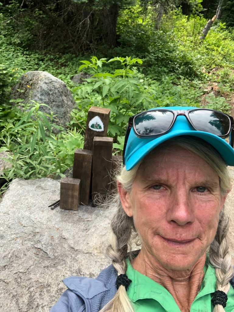
Ubered to Sedro-Woolley where we left off. Poppy mailed back the road walking shoes she’d picked up in the mail yesterday. She thought they’d suit her better than trail shoes since we’ll be doing so much road walking. Umm hmm.
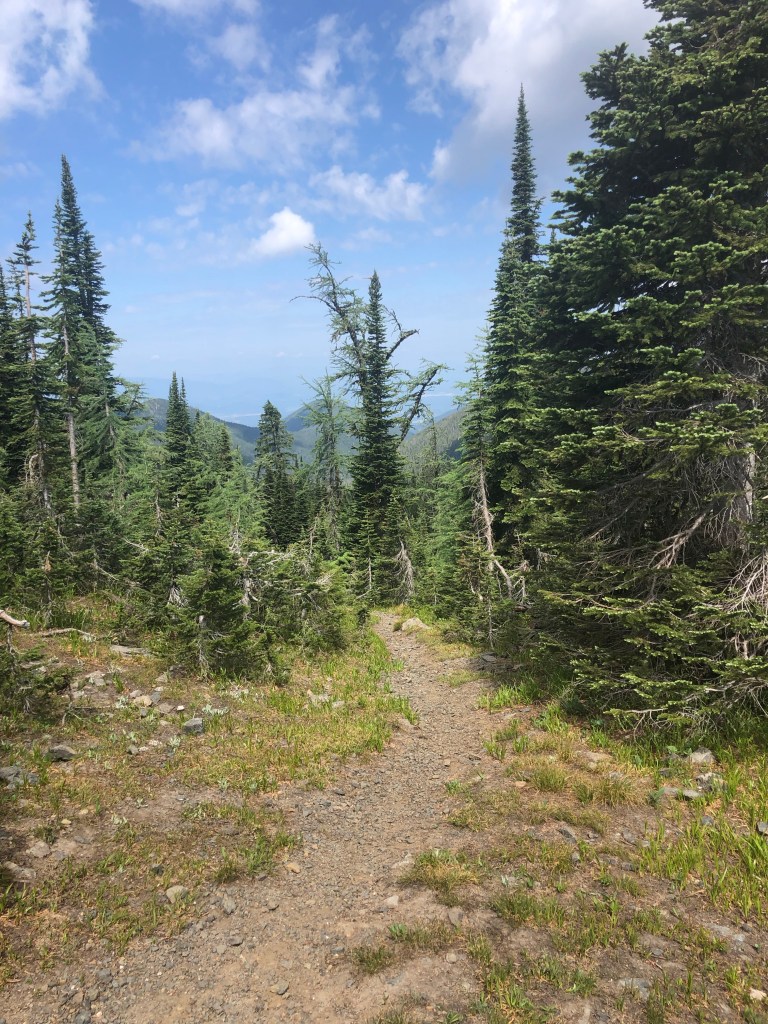
We walked 8.5 miles up paved Highway 9 to join a steep gravel logging road. We camped in mist which slowly cleared for views over Puget Sound. And traffic noise from the highways below us.
8/7 17.7 miles
Picked up my resupply box at a new trail angel place near Alger. Nobody home but it was great to get a box on a Saturday, not worrying about post office hours in a tiny little place.
It rained all night and now all day. I pitched a wet tent and my fingers and toes are still pruny. Poppy hates not being able to dry her stuff, so as she walked she checked the Alger trail angel place, then the Alger Fire Department, community hall and church, to ask for a place inside to dry out. Nobody home.
For me though, it was not bad today, really, in full rain gear. It’s not cold but there aren’t many views, unless you count walking under the I-5 freeway. Lots of road walking, paved and gravel, until joining lovely trail, I felt fine today.
8/8 maybe 5 miles?
Ravensong! Poppy waterlogged her phone last night, but borrowed a day hiker’s this morning on our way to paved road to call Ravensong who came and picked us up and took Poppy to ATT for a new phone. But first we got second breakfast, all 3 of us, in Edison. Later Ravensong took us to her house for the night. We hung our wet stuff on the porch to dry, showered, washed clothes and visited! We walked from her house to the lake, then the falls where Chris took me when he was living in Bellingham a few years ago. And I suggested Aslan Brewing for dinner, which was great, probably still the dishes Chris created.
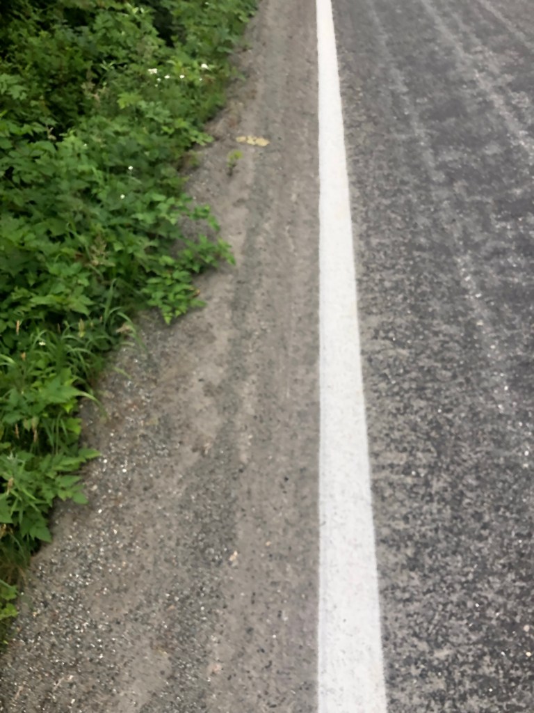
My wonderful daughter took us to REI, then all the way back to where she picked us up yesterday before driving hours back to Seattle. We started hiking at 12:30 pm, me with new undies, socks snd bug dope.
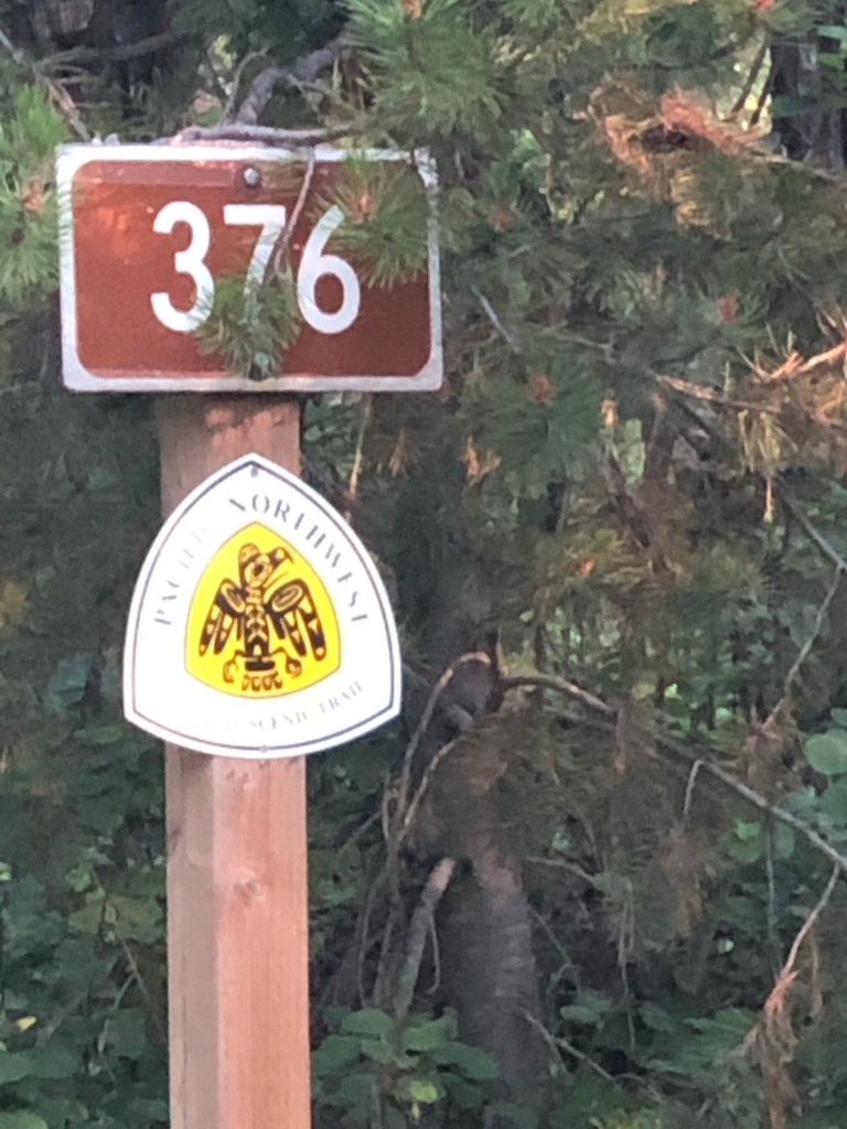
It was the paved Mt Baker Highway uphill all day with quite a bit of fast moving traffic. I’d like some signage (a volunteer project for me?) saying something like “PNT National Scenic Trail, Believe It or Not”
We had a lovely stop at the ski resort cafe—cookies, beer and Gatorade at 3:30. Tex is back! He was standing in line ahead of me, haven’t seen him since Metalline Falls. He is an amazingly competent and independent 18 year old from South Africa living with his family in DC.
We made it through the resort and camped, smoky with rain in the forecast. Tomorrow will be trail downhill for quite a ways though.
More than ever, I want to snowboard Mt Baker next winter!
8/1 23 miles
It started early on lovely forest trail for awhile, then not so much. I did 2 awful “butt scoot” river crossings on logs after many hours of overgrowth and blowdowns. I tried to ford but the water was too fast and the hidden rocks too slippery. A lot of times the logs for crossings will have been cross-hatched for traction and have a rail to hang onto. Not these and with my tippy pack on, I just don’t trust that I won’t fall off the log if I walk it. So I sit astraddle and laboriously inch across. Then it was good trail to a short cut, about 9 miles on paved road. It was wet but not cold today.
8/2 20.4 miles
My battery charger is almost empty, it never charged properly in Bellingham. I don’t want my inReach satellite tracking (and SOS) device to go dead and my phone also needs to stay alive because of the maps snd books loaded on it. Yes I also have paper maps.
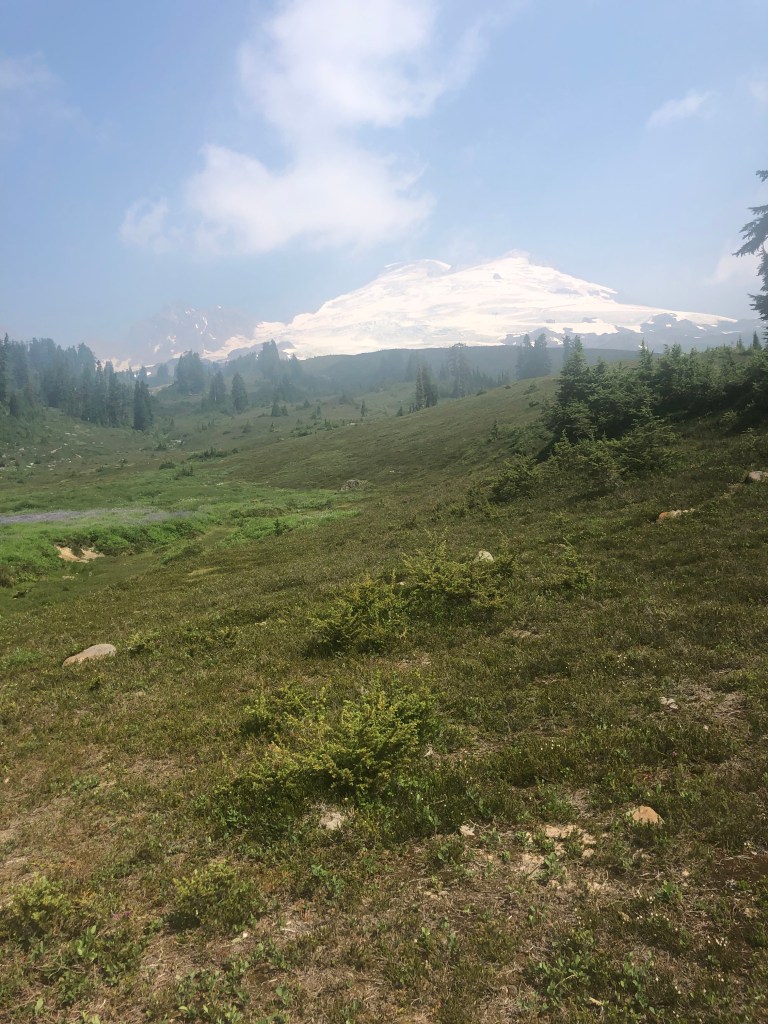
We walked gravel road uphill to a trailhead, why is it always uphill? And there were people! Beautiful trail around the other side of Mt Baker, even if it was a smoky, hazy, windy kind of walk. The tread was good all day except for the last mile and a half of blowdown. Goon Squad, last seen a few days ago, came in late and camped with us.
8/3 18.5 miles
Ick day. Blowdown to overgrowth, finally at 1:30pm—gravel roads—uphill in clear cuts. We’re now pitched in the worst of the 5 road turnout campsites we’ve used to date. We got woken up at 2:30am by logging equipment driving by, more or less continuously till we finally got up and started walking.
8/4 16 miles
Road walk to Lyman then the rail-to-trail segment to Sedro-Woolley where we went to the PNTA office. There we met Sterling, the trail crew boss and organizer who gave us a ride to Burlington and our comfy motel. We Ubered to downtown Mt Vernon for great pizza and beer on the Skagit River.
8/5 zero
Got a new Anker battery charger from Best Buy since mine, 2016 vintage, won’t charge anymore. Also about 2 lbs of See’s Butterscotch candy. Then Farmstrong Brewery, a short walk away, for great food and okay beer.
7/25 Slide Rule drove me to Chelan along the scenic route, which became more scenic as we encountered an unpublished road closure which forced us up through Republic (excellent lunch stop!). I shared a motel room with Beans and Poppy.
7/26 11 miles
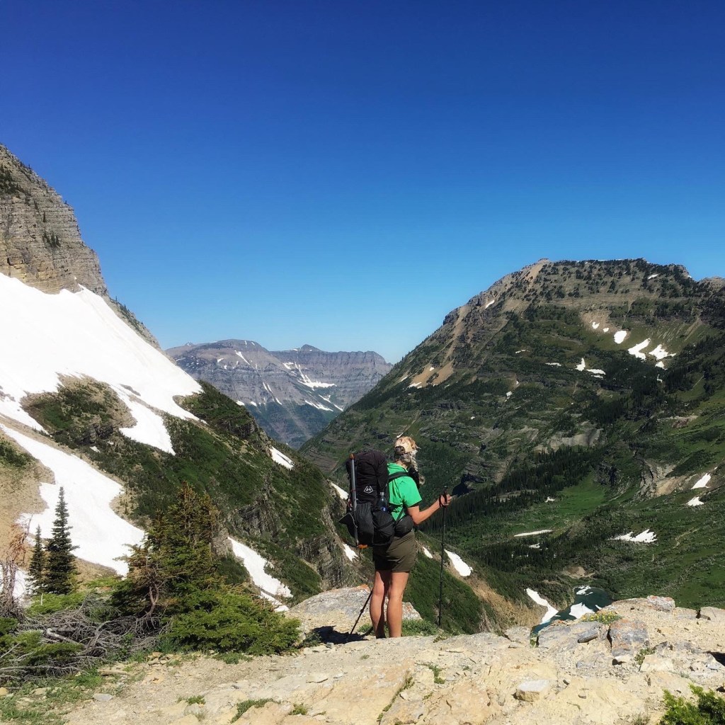
We walked a couple miles to the ferry terminal and sat on it from 8:30-1 pm, arriving in Stehekin where Poppy found the ranger and got us a campsite permit since we’re in North Cascades NP. We waited a bit, got the bus, stopped at the bakery and started hiking the PCT at 3 pm. This is my fourth hike through this section, I am home! Even camped where Puff Puff and I stayed in 2016 on the PCT SOBO. It was super hot climbing out of the bus stop, I just felt sleepy. Later on there were 2 bad bears, unafraid of us, not aggressive, just too comfy with humans. Pretty though. We hiked on and camped in the lovely and cool.
7/27 22 miles
Beat feet for 12 miles to make noon pick up at Hwy 20, thanks for the ride, Forest! We waited at the parking area for Ross Lake for Beans’ mom Susan to bring the resupply boxes we’d sent her. 2 trail angels in a single day, so thankful for the helping hands. Meanwhile Poppy and first time acquaintance Ravensong went and got us campsite permits for North Cascades NP, which somehow all 3 of us kind of forgot in the scramble to jump over forest fires. Ravensong is about my age and is the first woman to hike the PCT—in 1976! Plus she has a hiker hostel in Mazama, currently closed due to fire, and is just a delightful person. Susan walked a ways with me and Beans to the Ross Lake Dam and then we walked till 7 pm again for the second day in a row, whew.
7/28 17 miles
Dan’s birthday. Beautiful day: trail, trees, everything. camped again with Ravensong, Beans and Poppy. Saw mule deer and a huge toad and met hiker Goon Squad (who I later learned has a BS in Physics from Stanford—oh shades of my dad).
7/29 18-ish 6am to 6 pm
Just bored with walking today so I camped a few miles before Beans and Poppy. A lot of unmaintained trail—obstacles to be negotiated—including blowdown covered trail petering into washed out and dry creek beds. It was hot, the biting flies are undeterred by bug dope, even Deet, and the smoke is obscuring the views. Poor entitled hiker me.
Ravensong looked exhausted when I passed her at the tip of the steep climb up Whatcom Pass.
Another hiker, Allison, helped me pull across the hand tram to our side, then we pulled ourselves across to Poppy and Beans. I was annoyed that they didn’t know hand tram protocol which made me glad to camp by myself and calm down.
Ravensong came by my tent about 8 pm, worried by the increasing smoke in the valley. She was pretty traumatized by the fire in Mazama, flames behind her house. So she was intent on hiking over Hannegan Pass.
7/30 13 miles
Beautiful Hannegan Pass this morning, even as smoke filled the valleys below me. I got over and to yet another gravel road walk down to a picnic area.
I’d contacted Sarah aka Catwater’s Kid to see if she could drive up from Seattle area and take us to Bellingham, some 50 miles away for a night. So Poppy, Ravensong and I enjoyed sitting and visiting and admiring people’s dogs (and a cat in a backpack!!). Sarah got us, we ate dinner out, dropped Ravensong at her house, then did the hiker chores—shower and laundry—-before settling in for the night. I love my daughter!
As usual, 6 days of food is heavy, especially on the sun exposed switchbacks after the not unpleasant road walk along highway then through the flat farm valley gravel roads. A little girl came running out to the edge of her driveway, barefooted, to tell about her sore toe. She was maybe 5, wearing bright girl colors but told me her favorite color was black, that made me laugh. Her final comment was that her family was selling puppies—good thing I didn’t see them because a puppy would really weigh down my pack.
We got water at a spring on the uphill, needed enough for camping and quite a ways tomorrow. Our campsite was marginal but at least it was flattish and all the standing dead trees were cleared. Later, Brennan walked in and camped too, I had no idea he had zeroed in Bonner’s too, so that was nice. Plus, in the morning he makes real coffee, how cool is that? I’m pretty sick of instant Starbucks Via doctored with protein powder and Instamix. Yuck.
Osprey in her nest
7/16 12 miles
Positioning for the dreaded bushwhack tomorrow. It was a beautiful ridge walk most of the day, although it was quite the long haul to water. I was ecstatic to find pools of water after 9 miles this morning. There’s a trailhead that gives access to Pyramid Lake, then Upper and Lower Ball Lakes which all have campsites. Quite a few locals are camped nearby. Poppy was ahead and met a group of women on a girlfriends’ weekend. “We all hunt and fish,” said the friendly one. All 6 had sidearms “for people, not bears.” Guns don’t bother me, but stupid attitudes do so I did my best not to show my contempt for these chicken shits. At least their dogs will be an early warning system for bear when they enter the girlfriends’ messy camp.
7/17 8 miles or longer
End of the bushwhack
Brennan caught up to us in the morning so we all did the hellish bushwhack together. Turns out one of those women pulled her gun when he turned up at the lake, a totally not scary, harmless guy. I wish I could go all Mama Bear on them, I’m outraged. But I’m not hiking back!
Anyway after about 8 hours, we emerged on an actual trail, bleeding from scratches and punctures. I rolled my ankle, which I’ve done before too many times to count. It hurts for a few minutes, will swell and stabilize, and I’ll continue hiking. So it goes.
We three camped soon after, right near another trailhead that many families were using to hike a short ways to a waterfall.
All of a sudden a helicopter was circling overhead, obviously Search and Rescue (SAR). We all checked to make sure we hadn’t set off our inReach SOS by accident. Then there was another helo with a guy hanging outside on the skids outside looking. Pretty soon a volunteer SAR crew came down the trail from the parking lot with a stretcher. A minute later they came back. I went to talk to them.
After mobilizing 2 helicopters and 2 ambulance crews, it turned out the injured person (head injury in the Falls) was being carried out to the road by a parent.
The Bonner’s Ferry SAR woman told me they’d successfully lifted a PNT hiker with a broken leg the day before. We wondered who it was, just a day ahead of us.
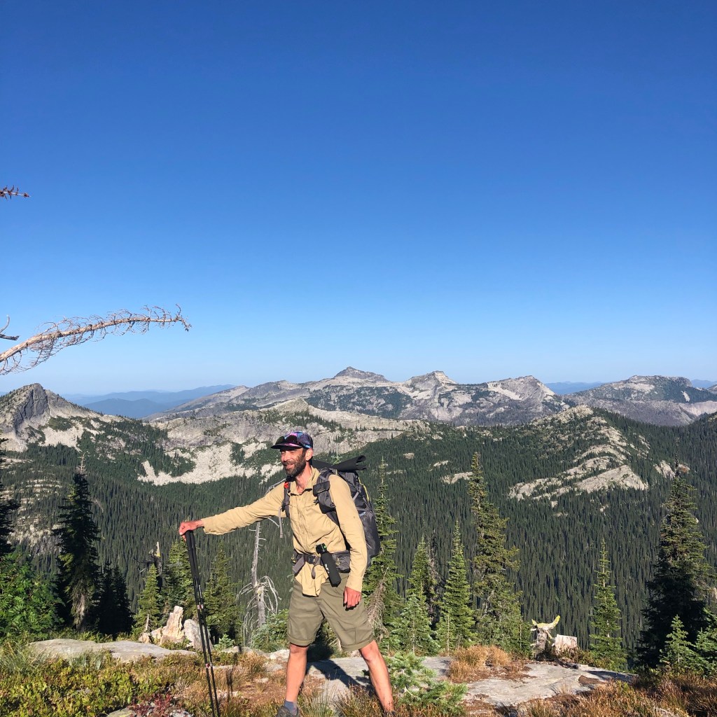
Beans
7/18 12.7 miles for me, 20 for Poppy, LOL!
I started first and immediately made a mistake looking for the trail along the river. I backtracked and Poppy was gone, ahead of me. A few miles later on the road walk, I made another mistake. I missed a switchback 1.5 miles behind me. I checked my maps and stayed on the perfectly excellent gravel road that led downhill mostly to the Priest Lakes and the campsite location we’d talked about. I got there by noon and relaxed at a picnic table, watching the boaters and sunbathers. I went for a swim and rinsed out my clothes. Poppy arrived later and also swam after her much longer, arduous day and we settled in near the privies for a quiet night.
7/19 22 miles
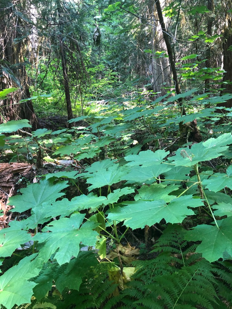
A lovely day! Walked from Upper Priest Lake into old growth cedar forest then onto gravel road.
I was dreading coming off the road and onto trail and the heat and smoke made me worry about having to evacuate possibly. Our Guthook app had recent comments about a very long road walk alternate that would put us into Metalline Falls on schedule, rather than having to spend an unplanned extra night on trail. I got ahold of Poppy, ahead, on the inReach, and we decided to do the road walk.
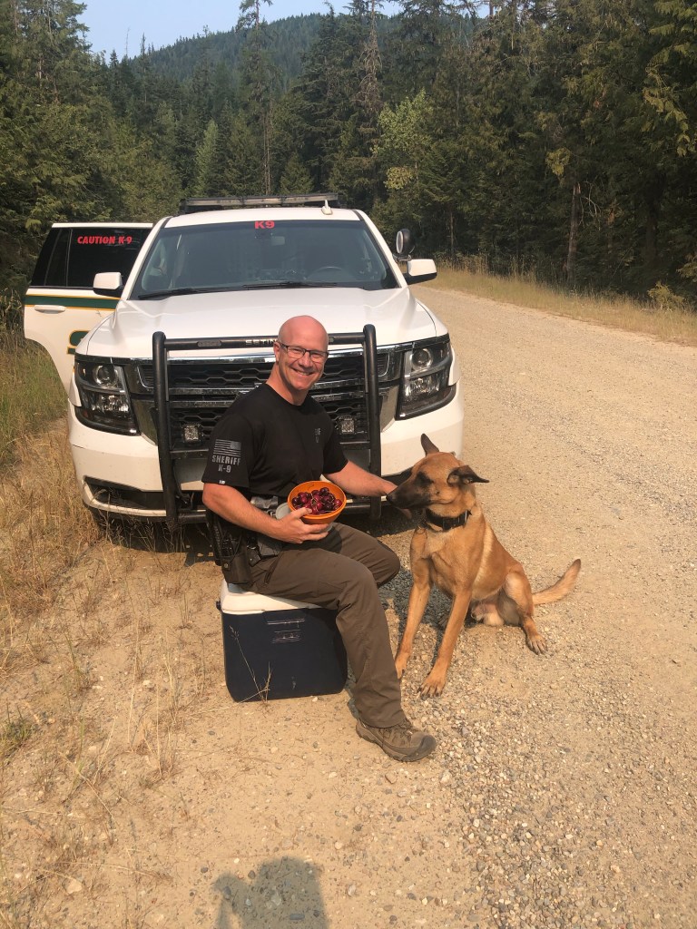
My day was made better when a Sheriff’s K-9 unit came screeching to a halt in front of me. Deputy Darren leaped out of the driver’s seat, grabbed a cooler snd offered me fresh cherries! And I got to pet K-9 Leo! We had a great conversation and I walked on. I knew Brennan was behind and hoped he got the same experience, but Poppy missed it, bummer.
We all 3 wound up camping on the road just downhill from the Pass
K-9 Unit Darren and Leo with trail magic!
7/20 18 miles
Pretty nice gravel road walk this morning turned into a quite painful paved downhill in the heat into Metalline Falls. Like my feet are killing me as I eat a fantastic meal at the Farmhouse Cafe with a tall glass of huckleberry lemonade. Life is great! Met Tix and Nick. The discussion was about Washington DNR closing all recreation on their lands to the west of us and east of North Cascades in 2 days due to worsening fires and heat.
Slide Rule rolled into town in our ‘97 4WD Ford Sportsmobile and took Poppy and I to a motel.
7/21 zero
We loaded the van with Ken, Honey Sticks, Best Western, Poppy, Beans (née Brennan) and drove to Spokane. We’re going to bounce a little ahead of what we’d planned, due to the threatening conditions. Brainstorming logistics, resupply, and routes for a few days. I think we’re going to get a ride to Chelan, take the ferry to Stehekin, walk up the PCT to Highway 20, and walk up that and rejoin the PNT on the west facing side of the North Cascades. Should be cooler and less smoky. I hope. Got to figure out resupply and send some boxes.
Another brutal day carrying 5 nights of food, steep ups. Mosquitoes, not too hot though. I’m sleep deprived, I don’t know why I couldn’t sleep in the comfortable, cool Silverado Motel in Eureka. I woke up with a sore throat which sometimes happens when I don’t sleep much or it can be the start of a cold. Really? A summer cold? I”ve never had one but nobody is wearing masks anymore so I guess it is possible. My pack weighs too much but my legs are strong and my breathing and heart are good, I’m just freaking slow on the uphills! And it’s always uphill with too much weight out of a town stop.
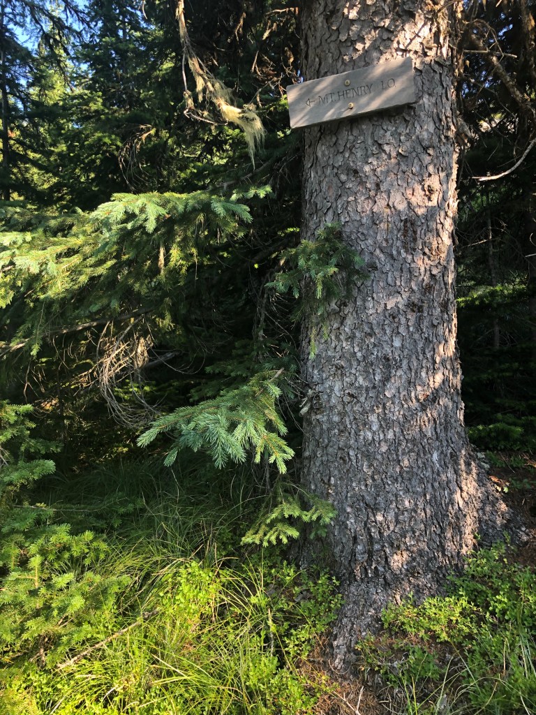
7/9 17.8 miles
We walked up to the Mt. Henry lookout. Wonderful views and I found a pair of sunglasses. It was a horrible, rocky steep 4 miles from the lookout down to the creek, then a tough 3 miles up again on one of those pieces of trail that really has never been constructed–so your feet are slanted with the contour of the hill. I finally got a second wind chasing down Poppy who needed water. We camped in another turnout on the gravel road just before you can hitch or walk into Yaak. We’re not going to.
7/10 19.9 miles
Easy 15 mile road walk to Garver Mountain Lookout. This view was kind of unimpressive to me, maybe because of smoke and wind. We continued on through rocks and second growth and hit another dirt road where we camped (again) in a turnout. There were deer everywhere but just a few cars that petered out before dark. A hot, thirsty day and it’s the third day with a sore throat. Smoky too.
7/11 17.8 miles
News of the day! I found the trowel I lost last year. This was my super secret mission of the day–to find the perfect campsite I’d used last year when the big winds and rain hit me on the ridge and I offered Petra and Retune the spot next to me but she rejected it as “unsuitable” and wound up camping a couple miles away and getting their tent flooded. Ha ha, good times.
I guess the sore throat is a cold, not hay fever. Sigh. Today was road to road to trail up through thick green, then rolling up and down ridges and sidehills except for the short rocky bit to Rock Candy Mountain, a lovely granite cirque. I’d love to spend a week there on a volunteer trail crew to build trail where there is none.
It’s just 12 miles to Fiest Resort tomorrow, I hope it’s open for food and drink. And it’s just 27 from our campsite tonight to where we will hitch to Bonner’s Ferry and the beautiful casino/Best Western right on the river–a respite I loved last year!
7/12 13 miles
With a stop at Fiest Resort. Hazel and Brennan were there too! The cold is not better, Advil helps so I got some food then hiked out to the base of tomorrow’s climb to pitch my tent and relax. Poppy was thinking about waiting till it cooled a bit at 4 pm and then walking uphill for 5 miles and camping. I just didn’t want to, plus it doesn’t really cool off at 4pm, it’s more like 8:30 when the sun gets low in the west.
7/1316 miles
Not bad, a well graded up (which is why I didn’t remember it I guess) and a continue down the other side to State Route 95. Just as short a day as last year. I caught Poppy on the road downhill and waited at the junction for about 20 minutes. She went blasting by me to the highway while I hurriedly threw on my pack and followed. No sooner did she get on the highway than a car came into view, she jumped up and down, waved her arms, made begging hands and they stopped!! I think I’ll keep her around, that was amazing. Nice people from Boise had never picked up hitchhikers before. And by 2:30 pm we were in AC washing clothes and ourselves, getting food and cold beverages, picking up her new shoes at the post office and generally utterly thrilled with ourselves.
7/14 zero
Slide Rule arrived and took us shopping. I found a rayon Aloha shirt at the thrift store for a buck! Then we went to visit with the bros, Doug and Dave, up at their fishing camp. We drove back to Bonner’s, picked up Poppy and went out to dinner. Also, Mucinex is helping the stupid cold resolve.
Now I’m on trail that’s a repeat of last year. We camped in a turnout where the “trail” (gravel road) has a junction with the Red Meadow Campground. We hauled water only 2 miles to make it possible. It’s been a hot day being pestered relentlessly by an assortment of mosquitoes, flies, and bees. Oh joy!
Hot Flash stopped by to say good bye–we’re going to miss him, but he’s doing 30’s and we’re not.
7/3 16 miles
I didn’t pick up enough water this morning at the last water source which was just a mile from our turnout camp. A couple miles on trail after the dirt road ended, I heard dirt bikes coming at me. They are absolutely forbidden on this trail and it is clearly marked. And the 3 of them were quite rude. The lead guy was barreling uphill at me, didn’t even attempt to cut his speed, give me the right-of-way, get off the bike or do anything. I had to leap off the trail so they could continue to tear up the tread. Not a nod, not a wave, nothing. Jerks. Real men walk on their own two feet.
There’s a few snow patches so I melted some to add to my water supply but there was a lot of climbing and descending until finally we headed up the last climb of the day to Mt. Locke. Poppy and I both found a big snow patch and got out our stoves to melt a couple of liters to get us through the heat of the day. I quickly downed a liter in the heat and bugs and continued down to our campsite. I found the trail I’d searched for last year, now marked by 3 cairns. Poppy didn’t believe the official PNT guide book was wrong so decided to follow the guide book directions. A while later I got her inReach text that she’d cliffed out and was coming back the way I’d gone. Fortunately, the worst blowdown section of all 2020 was cleared! Trail crew rules!
7/4 17 miles plus up to Mt Wam lookout and back to the trail
I was tired today. Started with 5 easy miles downhill to a paved uphill roadwalk, then trail to a miracle find campsite around Poppy’s desired 16 mile day. Bugs, heat, uphill. My big toes from Day 3 are actually blisters under the nail, painful but no way I should pop them–they’ll reabsorb the fluid hopefully. I need to figure out the water–drink more, carry more, it’s freaking hot!
At Mt Wam lookout I found my name in the trail register from last year, with One Gallon signing in after me. I found a plastic spoon for Poppy too since she lost hers and has been eating with a tent stake. The register claimed there was a rabbit living under the shelter but Poppy swore later she saw a kitty. However, she was almost delirious with the heat so I’m hoping there’s not a feral cat living on the top of a mountain all by herself.
7/5 15 miles
This was a beautiful day, walking the cirque, no snow, unlike last year, to the little lake that I blew my sleeping pad on last year. We’re now camped just 12 miles from town, Eureka, our next stop, right on the border. A previous hiker commented that a creature was yelping and growling right outside his tent at this spot so I’ve been yelling “Arf! Grr!” at frequent intervals.
Still incredibly hot, but the bugs are somewhat sparcer. These “low” mile days are actually pretty great. I’m thinking ahead and hoping Slide Rule can help us slack pack the walk between Eureka, along the rail-to-trail stretch and across 1972’s most beautiful bridge to the trailhead just off the road, a 19 mile stretch.
7/6 12 miles to town
Another easy quick day. I got turned around when the trail routed through a golf course (what??), but Poppy caught up and we made it to the Silverado Motel. Sadly, when she was ahead of me earlier, she came across a deer with a broken leg, suffering. She flagged down the next car. “It’s Montana, he was carrying a gun, and was able to put it out of it’s misery.”
We got to town, checked in early and dashed across the street for a wonderful breakfast, second breakfast! Slide Rule arrived later, so after showering and doing our laundry, we all went for dinner. Town days are good!
7/7 19 miles slackpack
I listened to Hamilton, “sang” along, danced and generally enjoyed the quick hike west to east (EABO) back to Eureka. And then super yummy pizza and beer at Fire and Slice in Eureka. So no zero for us but we got the miles done.
In 2015, Poppy and I met at the San Diego airport while being picked up by Scout and Frodo’s volunteers for a stay at their trail angel home before starting north on the PCT. She met me and hiked the Glacier NP part of the CDT with me in 2018. In 2020 she’d intended to thru hike the PNT but since Glacier and Olympic NPS were closed she opted out but met me at Bonner’s Ferry for a visit. I told her if she hiked the PNT in 2021, I’d love to join her. And so we are hiking!
6/27-7/1 Glacier NP to Polebridge, MT
Poppy
Misinformation Creates Mistrust
We applied for and got GNP campsite permits months before. Arriving at the Wilderness Center in Apgar, the permit people had no current information about conditions in the park. Social media posts were few and incomplete. We were told to carry ice axes for Stoney Indian Pass and a bear canister for Waterton camp since there might be snow so high up the bear hang that our food wouldn’t be safe. We were told campsites were overbooked. None of this turned out to be true. On Day 4 in beautiful Glacier NP we reached the Polebridge ranger station on the west side of the park and I tried to update the ranger there as to conditions—the suspension bridge over Waterton had been hung and 3 miles of trail cleared of blowdown. She brushed me off and said, “we just came off winter status yesterday,” apparently having no idea, along with the permit office 5 days earlier, that trail crews had been organized and deployed. That doesn’t happen on the spur of a moment. Oliver at the Polebridge hostel commiserated with us and said there had been a massive loss of GNP experienced personnel and new people had inadequate familiarity with the system.
Anyway….
6/27 13.4 miles
Hot but good trail. Poppy and I got a good tip from a hiker coming at us crossing one of Glacier’s tippy suspension bridges. Walk one foot in front of another, not wide spaced like you do to stabilize. Light bulb moment! We camped as per our permit at MOJ (acronym for designated campsite Mojowanis on our permit) and met another PNT hiker—Tennesteve.
6/28 13.9 miles
Well we started at 7:30 am and camped at 7:30 pm but Poppy is being careful not to reinjure her knee and is making sure her feet stay healthy, so we took several “shoes off” breaks. We were worried about snow over Stoney Indian Pass, carried an ice axe and spikes. Then we worried about no bridge at Waterton (WAT), but it was put in! The problem was from the Pass down— dreadfully overgrown, couldn’t see my feet, then the blowdown, heat and bugs. Amazingly, the last 3 miles from campsite KOO ( campsite acronym for Kootenai on our permit) to WAT ( campsite acronym for Waterton river) were clear. We camped alone in the designated campground despite being told it was booked solid. I woke to slugs on my tent and in my shoes. A first.
6/29 15.8 miles
Somewhere up Brown Pass I caught my foot on a root and now have a bruised finger, a big old hematoma on my right shin and a black-and-blue elbow. In other words, normal Catwater. Beautiful views, great trail but the incredibly steep downhill to our third and last camp in Glacier Park, BOW (short for Upper Bowman Lake) destroyed my big toes—the usual black toenails will ensue and take approximately 1 year to grow out. Poppy and I are talking nail polish at a town in the future—she’s sporting baby blue polish at the moment, which is somewhat better than what my now red, blood blistered below the nail toes look like.
The best campsite so far, a breeze off the lake kept the temperature cool and the bugs down, yay! There are 6 or 7 other people here, a group who hiked in from the bottom of the lake. As I was relaxing in my tent, one of them asked if I had any antihistamine for an allergic reaction he was having. Oddly enough, I have been carrying a few prescription pills left over from ankle surgery in 2014 that were given to me to fight post-op nausea if necessary. I didn’t need it at the time so they’ve been in my first aid kit ever since. A nurse in his party vetted the meds and they worked to stop his reaction.
6/30 15 or so miles
A crazy easy hot day to Polebridge. We stopped at the Mercantile and got a free pastry just for being PNT hikers! Then we walked to the North Fork Hostel where we sent resupply boxes snd decided to stay in the dorm for 2 nights. We saw Tennesteve again and met Brennan snd Grant, all hiking the PNT, as well as some bike packers and regular people staying in hostel owner Oliver’s eclectic assortment of teepees, cabins and trailers. Grant had come in with heat exhaustion and Oliver took him down to the river and stayed with him while he got in the water and cooled down his body temperature. What a good man. We ate at the Saloon next to the Mercantile after showering and sitting in the shade. It’s so incredibly hot.
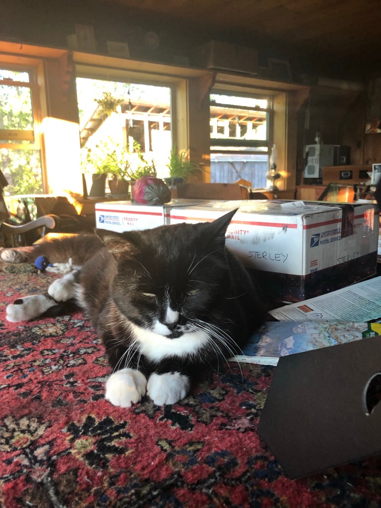
OliverOliver
7/1 zero
Tennesteve and Brennan left today. I hung out with Poppy and Grant. It was now just the 3 of us upstairs in the dorm and it was cooler when we figured out the airflow. Oliver is the bomb and his cat Oliver is gorgeous and perfectly catlike.
As Poppy and Grant and I chatted we were exploring trail names for Grant. He has problems with his Sawyer water filter and Sawyer “Squeeze Breaker” came up but then I told the Beth and John (CDT) story, how she proposed Hot Flash for her name due to time-of-life issues and I told her “no.” All 3 of us shouted “Hot Flash” and it’s now Grant’s trail name—how perfect is that name for a super tall, mid-20’s, nerdy guy who has just recovered from heat illness? We all laughed.
A bunch of us left Toaster house in the morning, freeing up bunk space for the incoming wave. Hikers are on the trail in record numbers.
We gathered after 16 miles at the TLC Ranch where the family set up a shady area with chairs and coolers full of water. They wanted us to stay for dinner and have us camp but it was only 3:30 so we moved on.
We spent the day on gravel roads for 22.1 miles to a wonderful solar mill with clear, tasty water and many campsites protected by trees and flat once I kicked the desiccated cow pies out of the way. Lovely night camped with OT, Jacobi, Sugar Mama, No No, Gray, Tinman, and late arrivals Top O and 13.
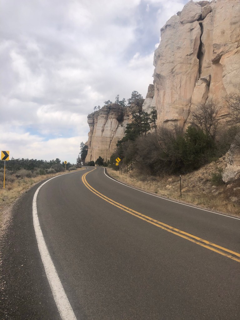
After the first night there are optional alternates. Gray, TM and I decided to stay on the highway which is really hard on the feet and legs. There was a trail you could take up onto the cliffs for about 4 miles but as it got later and our feet hurt worse, we just continued on the highway to stealth camp at the Arch. We pitched tents after 22.2 miles then hauled our stoves and food bags to the picnic tables to cook dinner. Kidnapper’s family of 6, plus happy dog Muir, came scrambling down the cliffs from the trail we didn’t take. They were stoked about its beauty and stopped to cook dinner with us, then continued down the paved highway to a water source and hopefully a spot to camp.
Gray wants to get to Grants in time to clean up and be ready to greet the local VFW who are lined up to greet and support the Warrior Expedition hikers as they make it to towns. So he’s going to take the highway another 20-ish miles in the morning and get in a night before me and Tinman.
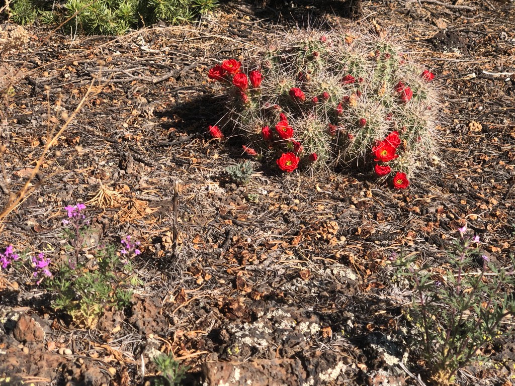
Day 3 Tinman and I took the Bonita-Zuni route for a few miles through lava on the ancient route between Pueblos. It connects to gravel road and a back way into Grants which does not involve walking blacktop. I’ve done the route before and prefer it to the highway the Ravens and I walked in 2017.
He hated the lava but loved the deserted gravel road through beautiful country and another perfect windmill water source for clear, cold water. In fact he told me his entire journal entry for the day, after injuring his toe and foot on the lava, was “f*ing rocks!” I moved slower through those 6 miles and didn’t fall, whew.
We camped off the bigger gravel road in a lovely canyon within earshot but not eyesight of the semi-busy road for a 22.5 mile day.
The next day was all downhill and Tinman wanted to get to the post office for Saturday hours that closed at noon which we made easily. Hikers are clustered at the numerous motels near Walmart, Walgreens and Denny’s by the freeway. I ate dinner with OT and Jacobi who got in a day earlier and so will leave the next day while I zero and decide what to do. Probably the last time I see them so we exchanged hugs and contact info.
May 9, Mother’s Day while I’m taking a zero. I don’t really care about these invented holidays. I bought resupply and then wandered back through the deserted and decrepit Route 66 through Grants just to keep in motion.
What am I going to do? I knew I’d have to get back home after a month, that’s fine. But it’s easier to leave from here, Grants, take a bus straight to Albuquerque where I have a flight booked. On the other hand, I can hike on to Cuba, another amazing 100+ mile stretch. I’d already texted a trail supporter there a week ago and he said he’d find someone to give me a ride (for Uber prices) but the time frame feels too tight for me.
I looked up the bus schedule and flight changes. I can spend a few days in Seattle with my daughter Sarah and her Sam! The bus leaves tomorrow at 6 am, ugh, and if it doesn’t run, I could hike to Cuba instead. The indecision is agonizing, so I told Tinman I’d probably decide at 5 am. Meanwhile….
Hikers gathered at Motel 6. Injured Lady Bug is here in Grants for a week to let her foot recover. She, Tinman and I went and got take out from Denny’s and went back to Motel 6. Warrior Expedition members (Earl) Gray (Goose) and Blues Brothers are rooming together, now joined by Jabberwocky, who I met night one in the Bootheel! We chatted away, I know some of their stories—the PTSD, nightmares (“I’m pointing the gun but it won’t fire.”), insomnia, survivor’s guilt. As they turned to go back to their rooms, they looked at me and Lady Bug and said, “Happy Mother’s Day, if you’re moms!”and opened their arms for big hugs. They hugged me tight, thinking about their moms, I could have cried. What if these men, in their 30’s and 40’s were my sons? I’d be proud, heartbroken, worried. Being a mom is the hardest job ever and I know that I’m a mom by proxy for some hikers on trail, but this? Heal well, all my sons. I send you onto the trail, fare well. Farewell.
You can’t Hallmark this shit. I’m so sad to leave this trail and these people. But there’s another trail soon in June. And another after that. And another.
Like this those miles: 16.2, 21.2, 21.3, 18.3, 20.2, 16.2, 14 because:
After an uncomfortable, hot night in the motel, we hit the road at 7. Those guys did the Gila Cliff Dwellings, which I’ve seen and loved. I told them to take the beautiful Little Bear Canyon route after leaving the Cliff Dwellings. I hiked alone all day, through the Gila. I love this place, this trail. I saw 11 hikers going south, short haulers and Strange Bird who was hiking out on a broken foot. I told him Tinman was behind but could help confirm the injury. Later I heard from another hiker that I had helped Strange Bird by listening and affirming. He told me a lot about himself—high functioning, 54, high pain threshold, other personal details—and I’m glad I made him feel like he was making the right decision by patiently (45 minutes standing in the trail) listening. I love that the trail makes me be a better person.
Anyway, I stopped at 3:30 to wait for TM and Gray and we all gathered to camp with Top O, OT, Jacobi, Fried Green Tomatoes (whose gaiters I found and returned at Doc’s!). Today I saw 11 hikers SOBO, 1 backtracking, 6 ducks, 4 deer, 1 snake.
Top O (background) and OT
Day 2 the crew climbed out of the Gila and camped in the campground at Snow Lake. It rained off and on all day. I weirded out over a comment I took to mean I was too slow. No worries really as I tag teamed with OT and Jacobi. Top O is now hiking with them, I should switch too, these guys are more my speed. (Now as I write at the end of the day I’m cold in my tent in the rain.)
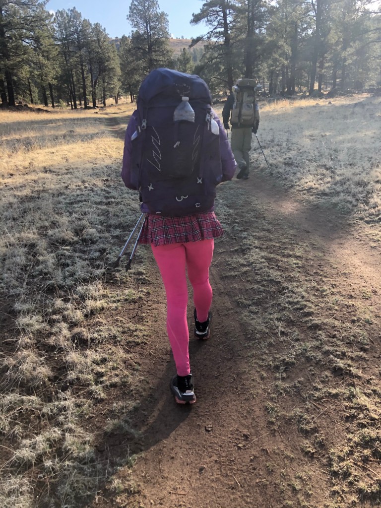
Tinman, Gray and I stopped at noon to eat and dry out tents and bags. Nope (Deaf Hiker Go Away) stopped too. Trying to be proactive I wrote a note asking what pronouns to use. See photo of Nope’s hiking outfit. The reply was, “ I don’t care about that shit.” No help. Guess we’ll all describe Nope as we see fit. “He pees standing up,” “They are Trans,” “She’s transitioning.” I tried to be respectful.
Day 3 Cold AF last night. I hiked out cold with a headwind, uphill, by the f*ing solar pond to the f*ing plain in the headwind. Why am I doing this again? Too windy to keep earbuds in and listen to Foo Fighters and The Killers to keep me on tempo. I yelled obscenities at the wind. Yeah, that worked. I made the miles. Finally dropped into the trees on the far side at 11:15 am? Trail magic, what! Guru with soda, an orange and a protein bar, totally unexpected, and here, after a hateful morning, thank you so much!
I fell behind again in the headwind for hours and got water from a tank surrounded by calves, no cows. I did not freak them out.
Tinman has a new blister, Gray has tendinitis in his ankle so we camped a bit early. Will it slow them down tomorrow? I doubt it.
Day 4 Dirt road to Dutchman’s Spring then back on the official red line, tons of climbing. Water sources and carries tend to be a major factor in how we plan our days. At that junction, TM was ahead but Gray and I got cell signal and, along with 4 or 5 others, bogged down for quite awhile. After hiking out, I finally caught up to both at 12:30, they had waited but put their packs on as soon as they saw me and bolted after telling me what mile they’d camp. Yeah, not going that far with all this climbing, plus why? The miles would be easier to accumulate on the flats tomorrow. I said I’d Satellite text where I camped. I was happy to hike at my own pace. In fact I stuck a fist in the sky when they were gone and shouted, “Liberation!” I’ll see them in a few days, maybe. Maybe not. Camped with Top O, OT, Jacobi, and Lady Bug from Quebec in a pine needled haven.
Day 5 Not a bad day, some climbing. Camped near a water cache with a bunch at a campground. Trail Angel Cheshire Cat and dog Stella Blue was there. He’s been angelling since the boot heel—fresh fruit every couple of days for us! And I get to throw a stick for Stella. Plus, he fist bumped the dudes, but I got a hug. Oh, hiking in the time of Covid. Nobody has got it, we wear masks in town but not on trail. Most have said they’re vaxed. It’s just not even a topic of conversation among hikers.
Day 6 Felt great today. Powered up the 4 to Mangas Lookout, first one out of camp I think. At 11 trail angel John Boy screeched to a halt on the dirt road and gave me Dr Pepper and a cherry pie. Not crowded at Davila Ranch, a little oasis with a washing machine, shower, toilet and food. Many hikers walked in then out to Pie Town. Spent some time with the family of 6 I’d met near Eureka on the PNT last year. Kidnapper (the dad, what a perfect trail name!), Wildflower, Amazon , HoneyBadger and 2 more. Kids are 18, 16, 14 and turning 12. I ate eggs and potatoes they’d made and had leftover, then cooked Ramen with 3 more eggs for myself. I camped as did a bunch more.
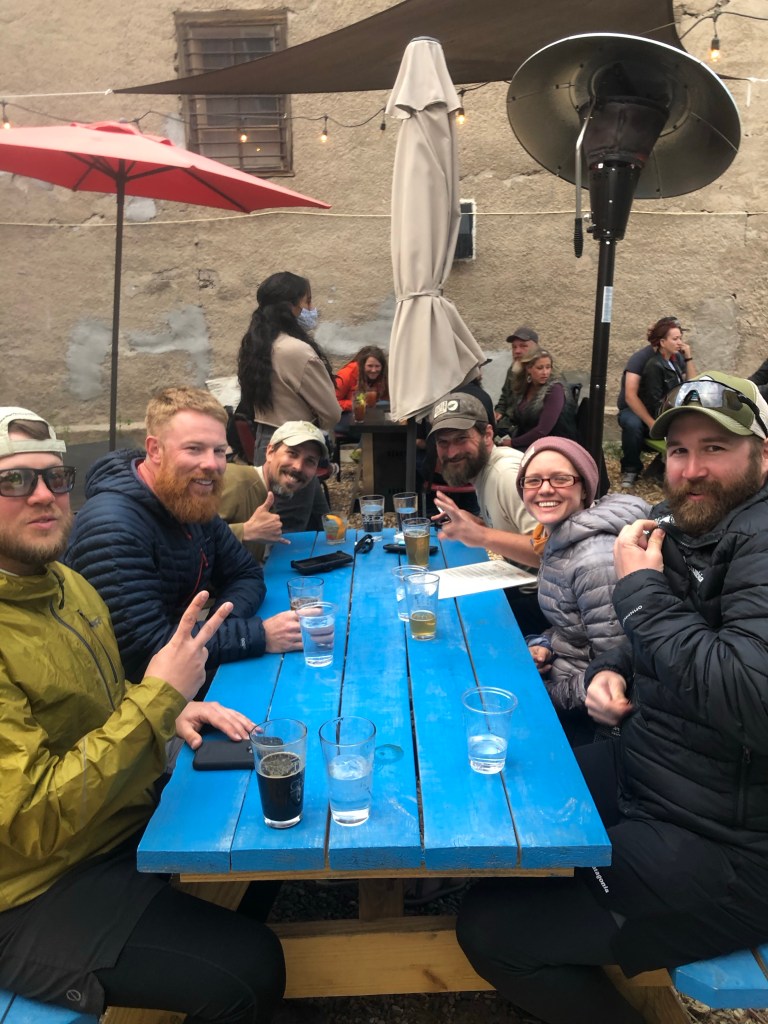
Day 7 Into Pie Town and Toaster House, windy walking, 11 miles by 10 am. 14 by 11:30. The place is packed! There’s 8 of us sharing beds and space upstairs, so good to be indoors! Ran to the only restaurant still in business in Pie Town, there used to be 3. Gathered with more dirty hikers as they trickled in—good fun, good food!
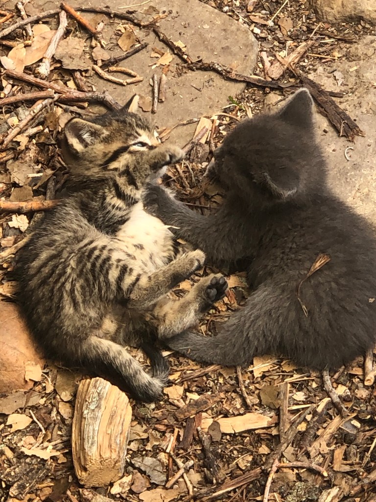
Road to Pie TownTex, Jacobi, Sugar Mama in Toaster House at Pie TownWhat’s going on here? Military doctoring some women hikers’ foot injuries. Uh huh. Toaster House kitchen, hiker boxes stacked up and Little BrownFeral kittens under the house, later 3 were rescued by a hiker couple who got off the trail to bring them home. They’d found a newborn on the walk in and were bottle feeding it around the clock already! 4 kittens saved!Hikertrash at Toaster House—all these hikers are in my bubble, I know them!
Headed out the Walnut Creek Rd to the Gila Alt after saying goodbye to Michele and Payton. It was a long day for few miles but I really enjoy hiking with Tinman and Gray. Funny though to watch Tinman (Chief in the Navy and Fire Chief) with his protective instincts over the both of us, a woman with 12,000+ trail miles and a 29-year-old combat vet with the PCT under his belt.
At water, we found OT ill. His hiking partner Jacobi got Tinman to check him out—they’ll overnight there, lots of 4-wheeler traffic in case it’s something serious—right now it’s nausea and weakness, hope he’s OK.
Weird encounter with with a (my perception) Trans woman in a skirt and a patch on her pack “Deaf Hiker, Go Away.” She was going the wrong way to the water and asked me where it was. I pointed and she then pointed at her patch.
We got water and hiked into beautiful rock formations which made Tinman and Gray happy too!
Day 2 we didn’t make it as far as I’ve camped the last 2 times, passing my former campsite 1 1/2 hours into the morning. Still a good day dropping into the river with Top O too who joined us at last nights campsite along with Little Brown. Season Pass from Florida joined us tonight as well. So different from the solo experience the times I’ve been here before.
And the next day, 3, a short beautiful walk to Doc Campbell’s where I’d reserved an apartment, as I’ve done in the past. I was happy to share with a couple of hikers. So many others camped behind Doc’s, love the company, such a different experience this time around.