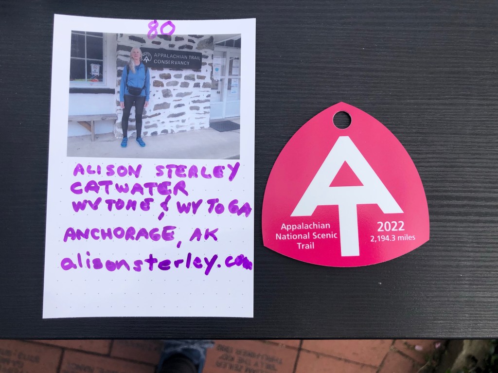
Recap 4/21-4/24
Arrived DCA via Alaska Air 10 pm ET. Airline shuttle to hotel, next day Uber to Union Station for the 4:05 pm Amtrak to Harper’s Ferry, which was delayed to 6 pm. But the backpack with hiking sticks is a dead giveaway to other hikers and soon enough there were 4 women, then a middle aged couple, then a fortyish guy, so military, gathered. Just what I wanted—hikers! After an hour train ride, Patrick’s friend Shane gave 3 of us women a ride to the Quality Inn in Harper’s, less than a mile away. So it begins!
Flip Flop Festival classes 4/23, more connections made. Emmalee “Hot Rod” for the 2 rods in her scoliosis spine, is also doing the flip flop, heading home to her military family current post in Georgia after doing the north bound AT (NOBO) to Maine. Later I went to the Barn to hear Bangles (Seattle) talk about her Flip Flop in 2017. As I was leaving, Crocs recognized me—took awhile but he was PCT 2015 and knew Fish Out of Water and Apache (stinky guy) who I knew for a few days in Washington!
4/24 11.4 miles
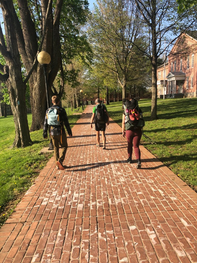
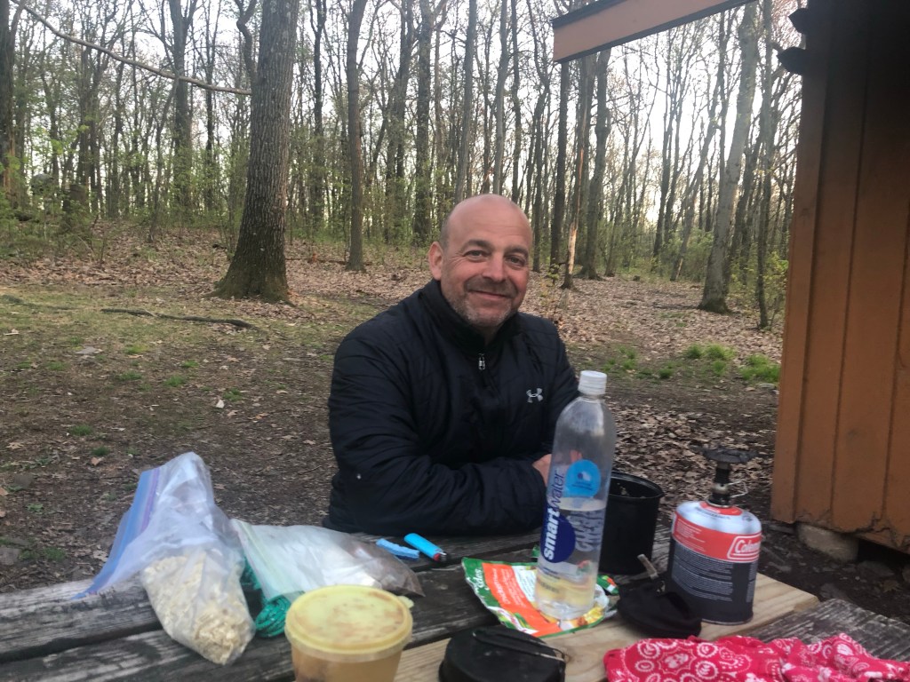
Hot Rod, Dewayne and I hit the Appalachian Trail Conservancy (ATC) hiker send off breakfast and headed out together. We camped in the Crampton Shelter area with a bunch of other people. So far, so good.

4/25 14.2 miles
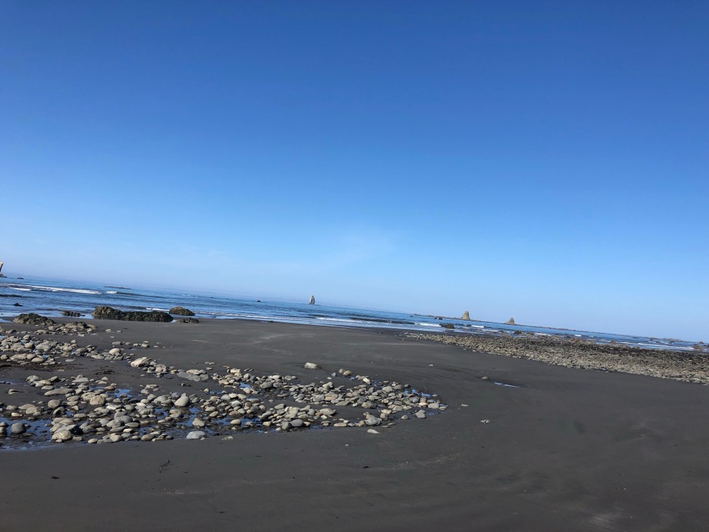
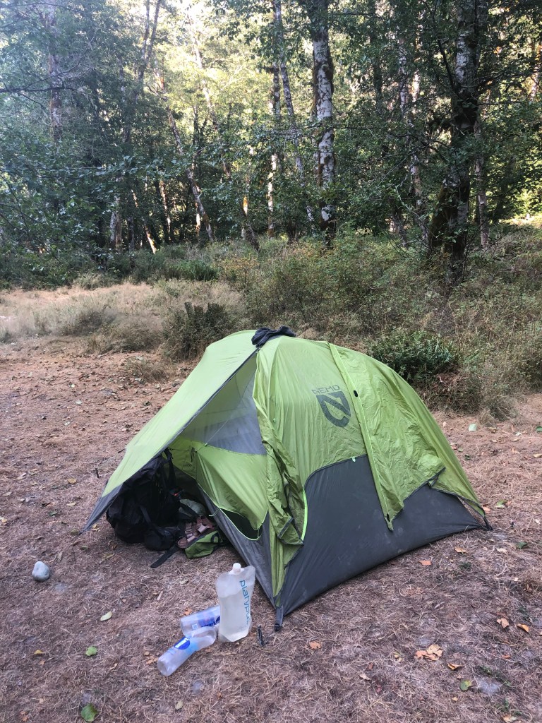
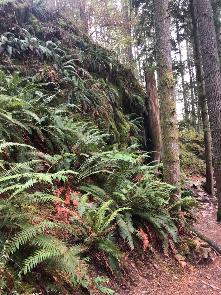
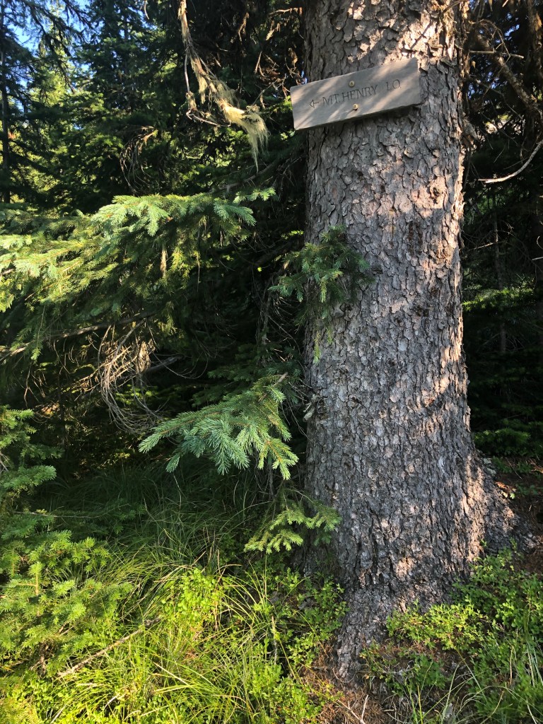
This ain’t easy. I need to plan my food better. Harper’s was short on grocery stores and I’m in shitty shape, an overuse injury kept me from my usual winter running miles. Rerun (Paul) and Irish (Bridget) from Pinedale, WY, went on 2 more miles—they’ve already hiked the Shenandoahs so are in better shape. I camped at Annapolis Rocks, a campground under restoration mostly. It was just odd—windy with road noise, then clouds came in when the wind died late. The Washington Monument was kinda cool.
4/26 16.4 miles
As usual, started out good. I woke to a wet tent but hiked in shorts cause it was warm. “F*ng rocks” as Tinman would say, to OK trail to more FR. Then rain. I made it to Pen Mar shelter where Roger, the shuttle driver, picked up me, Irish and Rerun, to go into Waynesboro. I needed food, stayed at the Cobblestone conveniently located next to Applebees and Walmart. I was freezing from the rain, cold and wait, so I hopped into the shower then went to eat. Ah, laundry and a comfy bed.
4/27 8.2 miles
So I made a deal with myself. Short miles instead of another night in a motel. Easy trail, now camped next to a shelter (at 1:30!!). Cold all day, now some sun. Sightseer is here too, another OG, just back on trail after a few days off for a pulled groin muscle. I now have ample food—bagels, cheese, peach rings, chocolate, instant coffee and breakfast bars.
4/28 15.5 miles
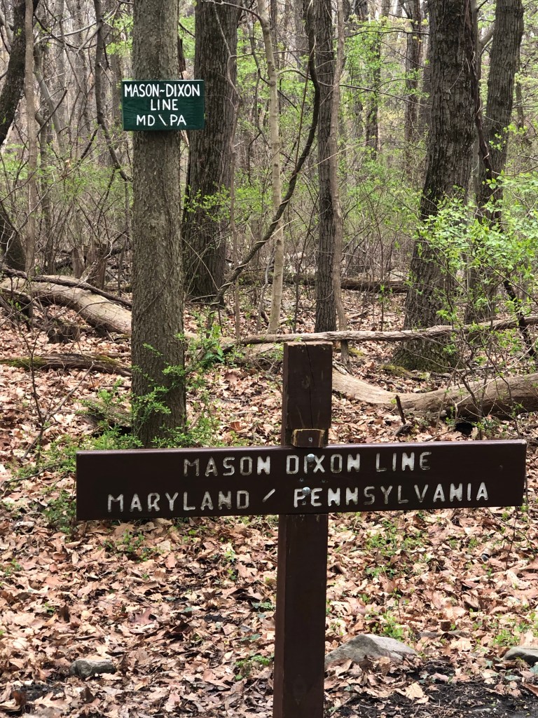
Cold AF last night (not spelling out what AF stands for. Don’t say it out loud kids) and morning. I wore my puffy in my sleeping bag and still woke from the cold at 5 am. Cold wind, hiked in my wool longies, trek tights and rain pants, fleece, puffy and rain jacket. Finally warm at noon. I kept going. Heard from Hot Rod, she’s off trail in Waynesboro for a couple days, not Covid, a cold, but her mom got her. Bummer, I really connected with her. Hope, hope, hope, we connect further north. It was better tread yesterday and today north of the Mason-Dixon line.
4/29 13.9 miles
Met a few “true NOBOs” as they call themselves, compared to us lowly Flip Floppers. Camped last night with (loud, of course) Aussie hiker Pioneer and buddy Poppins. Met a weird, not true thru hiker PTSD motormouth, seems harmless, I hope. Cold again last night. Is it my bag wearing out? My wonderful Western Mountaineering? Or me? Not cold enough to freeze my water bottle, but cold in my bag by 4 am. Tonight I’m in Ironmasters Hostel, a private room in a building built in 1839 by slave owners when making iron was the local industry. A few years later, and a change of ownership, it became a stop on the Underground Railroad. I love this place! Right next to a general store where the Half Gallon challenge is famous—eat a 1/2 gallon of ice cream at once at the 1/2 way point on the AT and get it for free. Remember the hiker on the PNT in 2020, One Gallon? Yup, he did that. But the store was closed today.
4/30 15.3 miles
I was so comfortable last night! Creaky floors, high ceilings, caretaker Missy, heat, awesome. I decided not to try for 20 to get to Boiling Springs. Slower, lower miles, why not?
5/1 4.1 miles
Lisa’s hostel in Boiling Springs, was cold. It’s a storage shed, unheated, with their stuff stored in it, and 4 bunks. But it was out of the rain, yay! Met Silva and Splash, OGs, then Rain Catcher came in a bit later. I bought dinners and snacks on the way in so I’m OK for the 1 trail night to Doyle’s Inn in Duncannon. And it’s supposed to stop raining. Late in the afternoon Lisa upgraded me to a room in a heated single wide, so comfy!
5/2 14.2 miles
A beautiful flat 12 miles through lush, green farmland followed by a mere 2 miles uphill to a shelter. I tried to sleep in a bunk in the shelter with just 3 other hikers but got up and pitched my tent at 12:45 am due to someone snoring. Then I slept. PacMan, a short hiker dude from Jersey I think, gave me a supplementary trail name when we were hanging food bags in the shelter out of reach of rodents. “Hey, Too Tall, can you hang my bag too?”


5/3 10.4 miles
Hard, but short day—rocks! I’m going to slack pack 18 miles back tomorrow and spend a second night here in the Doyle Inn, an historic, under renovation hotel. A family has bought it, a son is a fabulous cook, another is a fabulous server, Dad is sincere, and I feel welcome in this creaky, noisy, shared bathroom building. Marlene will shuttle me out 18 miles tomorrow so I can walk back to town and dinner, then out the next day.